67 Gay St Somerset, MA 02726
Pottersville NeighborhoodEstimated Value: $573,000 - $763,910
3
Beds
3
Baths
2,432
Sq Ft
$283/Sq Ft
Est. Value
About This Home
This home is located at 67 Gay St, Somerset, MA 02726 and is currently estimated at $688,228, approximately $282 per square foot. 67 Gay St is a home located in Bristol County with nearby schools including North Elementary School, Somerset Middle School, and St. Michael's School.
Ownership History
Date
Name
Owned For
Owner Type
Purchase Details
Closed on
Mar 9, 2025
Sold by
Liakos Dimitrios and Liakos Stacey C
Bought by
Dsl Liakos Llc
Current Estimated Value
Purchase Details
Closed on
Aug 6, 2020
Sold by
Liakos Vasilios and Liakos Agoro
Bought by
Liakos Dimitrious and Liakos Stacey C
Purchase Details
Closed on
Nov 20, 2018
Sold by
Medeiros Michael J and Medeiros Robin A
Bought by
Liakos Vasilios and Liakos Agoro
Home Financials for this Owner
Home Financials are based on the most recent Mortgage that was taken out on this home.
Original Mortgage
$600,000
Interest Rate
4.7%
Mortgage Type
Adjustable Rate Mortgage/ARM
Purchase Details
Closed on
Aug 10, 2009
Sold by
Almeida Rt
Bought by
Medeiros Michael J and Medeiros Robin A
Purchase Details
Closed on
Feb 4, 2005
Sold by
Almeida Rt
Bought by
Almeida Rt
Create a Home Valuation Report for This Property
The Home Valuation Report is an in-depth analysis detailing your home's value as well as a comparison with similar homes in the area
Home Values in the Area
Average Home Value in this Area
Purchase History
| Date | Buyer | Sale Price | Title Company |
|---|---|---|---|
| Dsl Liakos Llc | -- | None Available | |
| Liakos Dimitrious | -- | None Available | |
| Liakos Dimitrious | -- | None Available | |
| Liakos Vasilios | $750,000 | -- | |
| Liakos Vasilios | $450,000 | -- | |
| Medeiros Michael J | $650,000 | -- | |
| Almeida Rt | -- | -- |
Source: Public Records
Mortgage History
| Date | Status | Borrower | Loan Amount |
|---|---|---|---|
| Previous Owner | Liakos Vasilios | $600,000 | |
| Previous Owner | Liakos Vasilios | $360,000 |
Source: Public Records
Tax History Compared to Growth
Tax History
| Year | Tax Paid | Tax Assessment Tax Assessment Total Assessment is a certain percentage of the fair market value that is determined by local assessors to be the total taxable value of land and additions on the property. | Land | Improvement |
|---|---|---|---|---|
| 2025 | $8,864 | $666,500 | $282,400 | $384,100 |
| 2024 | $8,036 | $628,300 | $282,400 | $345,900 |
| 2023 | $7,212 | $568,800 | $256,900 | $311,900 |
| 2022 | $6,919 | $520,600 | $223,800 | $296,800 |
| 2021 | $12,929 | $880,700 | $213,600 | $667,100 |
| 2020 | $12,483 | $820,200 | $211,900 | $608,300 |
| 2019 | $14,131 | $774,300 | $211,900 | $562,400 |
| 2018 | $10,653 | $649,000 | $197,800 | $451,200 |
| 2017 | $10,858 | $624,000 | $197,800 | $426,200 |
| 2016 | $11,010 | $628,800 | $197,800 | $431,000 |
| 2015 | $11,616 | $669,500 | $247,300 | $422,200 |
| 2014 | $15,758 | $652,500 | $247,300 | $405,200 |
Source: Public Records
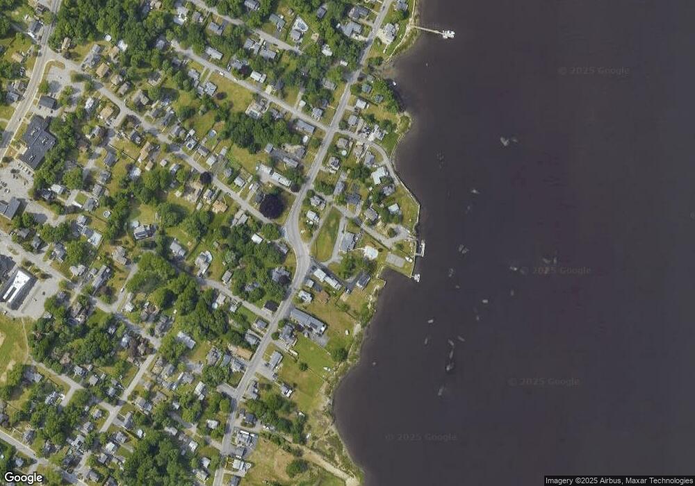
Map
Nearby Homes
- 2714 Riverside Ave
- 50 Pratt Ave
- 3896 N Main St
- 34 Barry Ave
- 50 Clark St Unit 19
- 224 Chace St
- 138 Bourn Ave
- 190 Gibbs St
- 3063 N Main St
- 604 Lafayette St
- 95 Brookside Rd
- 64 Midland Rd
- 701 Prospect St
- 2546 County St
- 4700 N Main St Unit 3E
- 5 Wayland St
- 287 Bark St
- 0 Bark St Unit 73152576
- 0 Bark St Unit 1342599
- 112 Rounseville Ave
- 2974 Riverside Ave
- 2962 Riverside Ave
- 2950 Riverside Ave
- 58 Gay St
- 41 Warren St
- 76 Gay St
- 76 Gay St Unit 1
- 2955 Riverside Ave
- 3011 Riverside Ave
- 2932 Riverside Ave
- 3046 Riverside Ave
- 3060 Riverside Ave
- 51 Warren St
- 88 Gay St
- 67 Warren St
- 87 Warren St
- 2925 Riverside Ave
- 2914 Riverside Ave
- 32 Everett St
- 3096 Riverside Ave