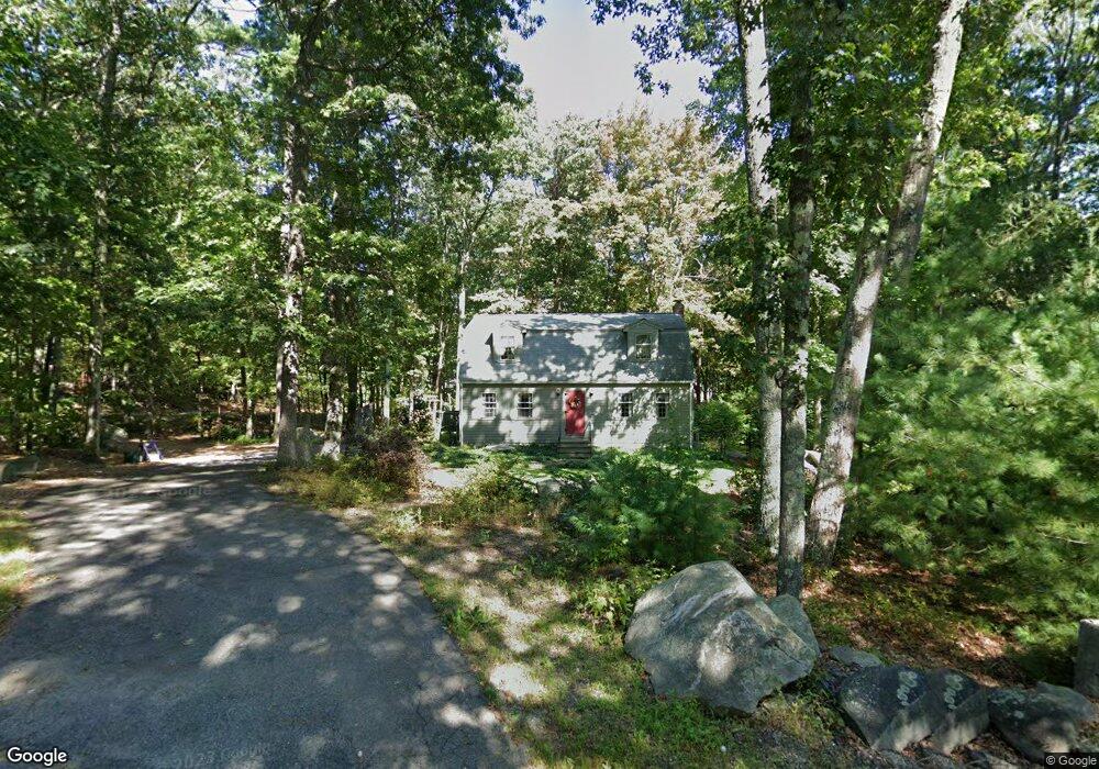
67 Gilson Rd Littleton, MA 01460
Estimated Value: $651,185 - $851,000
3
Beds
2
Baths
1,692
Sq Ft
$452/Sq Ft
Est. Value
About This Home
This home is located at 67 Gilson Rd, Littleton, MA 01460 and is currently estimated at $764,046, approximately $451 per square foot. 67 Gilson Rd is a home located in Middlesex County with nearby schools including Shaker Lane Elementary School, Russell Street Elementary School, and Littleton Middle School.
Create a Home Valuation Report for This Property
The Home Valuation Report is an in-depth analysis detailing your home's value as well as a comparison with similar homes in the area
Home Values in the Area
Average Home Value in this Area
Tax History Compared to Growth
Tax History
| Year | Tax Paid | Tax Assessment Tax Assessment Total Assessment is a certain percentage of the fair market value that is determined by local assessors to be the total taxable value of land and additions on the property. | Land | Improvement |
|---|---|---|---|---|
| 2025 | $78 | $521,700 | $229,900 | $291,800 |
| 2024 | $7,705 | $519,200 | $223,400 | $295,800 |
| 2023 | $7,724 | $475,300 | $227,800 | $247,500 |
| 2022 | $7,527 | $425,000 | $227,800 | $197,200 |
| 2021 | $7,061 | $398,900 | $219,100 | $179,800 |
| 2020 | $6,763 | $380,600 | $203,500 | $177,100 |
| 2019 | $6,506 | $356,700 | $177,500 | $179,200 |
| 2018 | $6,360 | $350,600 | $175,400 | $175,200 |
| 2017 | $6,363 | $350,600 | $175,400 | $175,200 |
| 2016 | $6,202 | $350,600 | $175,400 | $175,200 |
| 2015 | $6,127 | $338,500 | $151,500 | $187,000 |
Source: Public Records
Map
Nearby Homes
- Lot 13 Monarch Path
- Lot 12 Monarch Path
- Lot 6 Noble Path
- Lot 7 Noble Path
- 26 Bayberry Rd
- 12 Brookfield Dr Unit A
- 28 W Prescott St
- 6 Coolidge St
- 9 Elm St
- 797 Boston Rd
- 16 Abbot St
- 36 Whitetail Way
- 8 Sandy Beach Rd
- 95 Hummingbird Ln Unit 22
- 66 Patten Rd
- 15 Oriole Dr
- 9 (Lt 44) Darrell Dr
- 34 West St
- 33 West St
- 8 Mulberry Cir