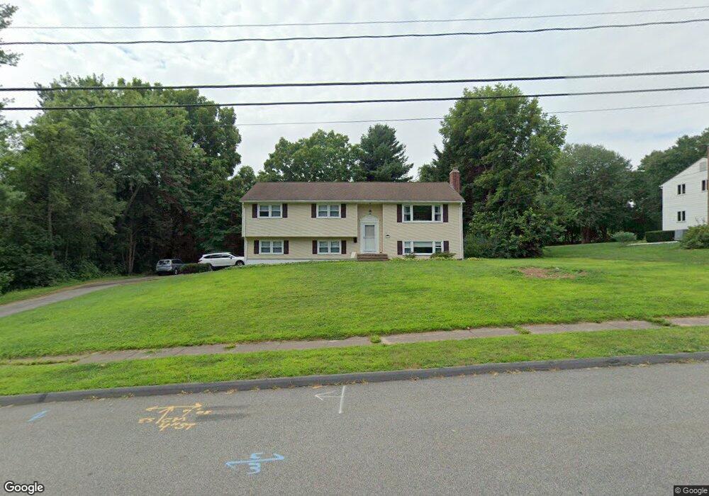
67 Glenwood Rd South Windsor, CT 06074
Estimated Value: $481,000 - $486,617
3
Beds
2
Baths
1,442
Sq Ft
$335/Sq Ft
Est. Value
About This Home
This home is located at 67 Glenwood Rd, South Windsor, CT 06074 and is currently estimated at $483,154, approximately $335 per square foot. 67 Glenwood Rd is a home located in Hartford County with nearby schools including Timothy Edwards School, South Windsor High School, and St Bridget School.
Ownership History
Date
Name
Owned For
Owner Type
Purchase Details
Closed on
Jul 13, 2006
Sold by
Mitchell Michael and Mitchell Gwenn
Bought by
Markey Nicklos and Markey Lorissa
Current Estimated Value
Home Financials for this Owner
Home Financials are based on the most recent Mortgage that was taken out on this home.
Original Mortgage
$297,395
Outstanding Balance
$176,210
Interest Rate
6.71%
Estimated Equity
$306,944
Purchase Details
Closed on
May 5, 2000
Sold by
Damato John
Bought by
Mitchell Michael and Mitchell Gwenn
Home Financials for this Owner
Home Financials are based on the most recent Mortgage that was taken out on this home.
Original Mortgage
$165,915
Interest Rate
8.21%
Create a Home Valuation Report for This Property
The Home Valuation Report is an in-depth analysis detailing your home's value as well as a comparison with similar homes in the area
Home Values in the Area
Average Home Value in this Area
Purchase History
| Date | Buyer | Sale Price | Title Company |
|---|---|---|---|
| Markey Nicklos | $293,000 | -- | |
| Mitchell Michael | $166,000 | -- |
Source: Public Records
Mortgage History
| Date | Status | Borrower | Loan Amount |
|---|---|---|---|
| Open | Mitchell Michael | $297,395 | |
| Previous Owner | Mitchell Michael | $28,200 | |
| Previous Owner | Mitchell Michael | $185,600 | |
| Previous Owner | Mitchell Michael | $165,915 |
Source: Public Records
Tax History Compared to Growth
Tax History
| Year | Tax Paid | Tax Assessment Tax Assessment Total Assessment is a certain percentage of the fair market value that is determined by local assessors to be the total taxable value of land and additions on the property. | Land | Improvement |
|---|---|---|---|---|
| 2025 | $8,735 | $245,300 | $111,700 | $133,600 |
| 2024 | $8,453 | $245,300 | $111,700 | $133,600 |
| 2023 | $8,129 | $245,300 | $111,700 | $133,600 |
| 2022 | $7,285 | $187,900 | $105,900 | $82,000 |
| 2021 | $7,114 | $187,900 | $105,900 | $82,000 |
| 2020 | $7,118 | $187,900 | $105,900 | $82,000 |
| 2019 | $7,234 | $187,900 | $105,900 | $82,000 |
| 2018 | $7,078 | $187,900 | $105,900 | $82,000 |
| 2017 | $6,976 | $183,200 | $105,900 | $77,300 |
| 2016 | $6,841 | $183,200 | $105,900 | $77,300 |
| 2015 | $6,694 | $183,200 | $105,900 | $77,300 |
| 2014 | $6,505 | $183,200 | $105,900 | $77,300 |
Source: Public Records
Map
Nearby Homes
- 155 Pine Tree Ln
- 34 Benedict Dr
- 11 Carman Rd
- 156 Avery St
- 128 Pond Ln
- 122 Greenwood Dr
- 360 Felt Rd
- 56 Stedman Cir
- 33 Imperial Dr
- 455 Oakland Rd
- 411 Slater St
- 325 Kelly Rd Unit L5
- 175 Valley View Dr
- 4 Alpine Dr
- 15 Ahern Dr
- 5 Allison Rd
- 66 Farmbrook Ln
- 178 Scott Dr
- 34 Donahue Ln Unit 34
- 441 Millstream Dr Unit 441
- 79 Glenwood Rd
- 55 Glenwood Rd
- 66 Glenwood Rd
- 89 Glenwood Rd
- 78 Glenwood Rd
- 50 Glenwood Rd
- 39 Glenwood Rd
- 55 Brewster Rd
- 36 Glenwood Rd
- 43 Brewster Rd
- 67 Brewster Rd
- 25 Glenwood Rd
- 85 High Ridge Rd
- 69 High Ridge Rd
- 50 High Ridge Rd
- 63 Clinton Dr
- 33 Brewster Rd
- 75 Clinton Dr
- 53 Clinton Dr
- 24 Glenwood Rd