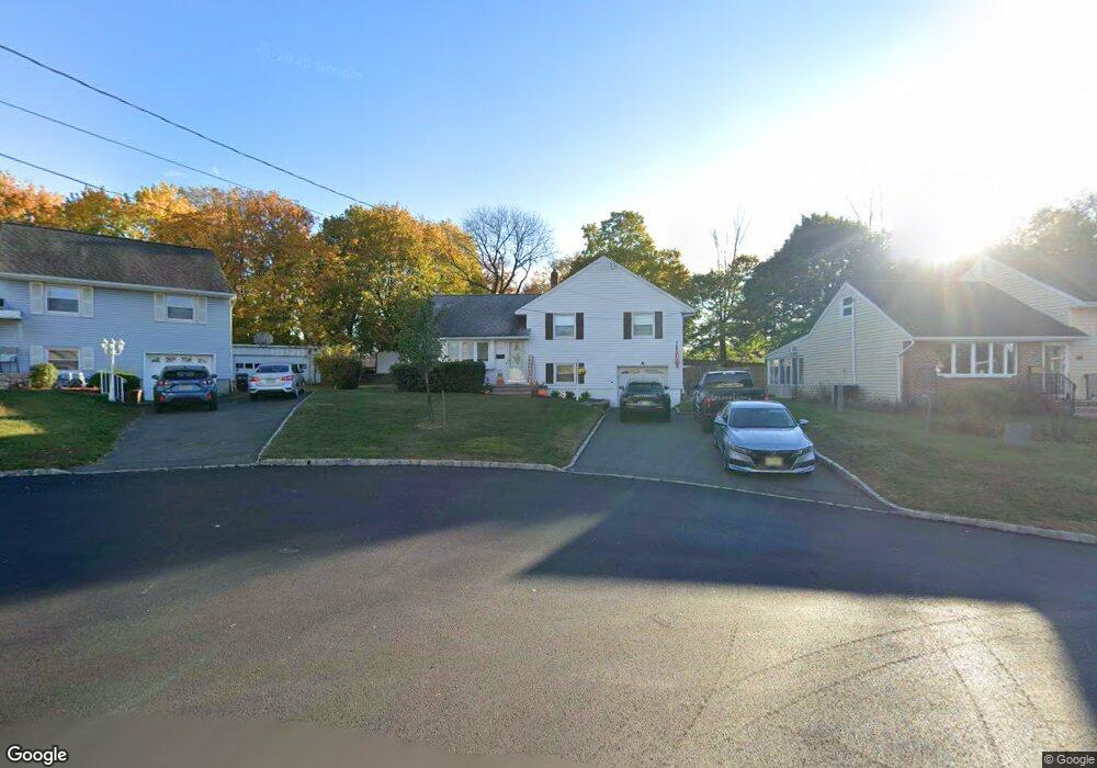
67 Grissing Ct Cedar Grove, NJ 07009
Estimated Value: $620,000 - $788,000
Studio
--
Bath
1,400
Sq Ft
$491/Sq Ft
Est. Value
About This Home
This home is located at 67 Grissing Ct, Cedar Grove, NJ 07009 and is currently estimated at $686,869, approximately $490 per square foot. 67 Grissing Ct is a home located in Essex County with nearby schools including Cedar Grove High School, St Catherine Of Siena School, and St. Cassian School.
Ownership History
Date
Name
Owned For
Owner Type
Purchase Details
Closed on
Nov 30, 2021
Sold by
Manfra Cheryl and Cerato Edward J
Bought by
Manfra Michael and Aiello Gina
Current Estimated Value
Home Financials for this Owner
Home Financials are based on the most recent Mortgage that was taken out on this home.
Original Mortgage
$422,000
Outstanding Balance
$388,025
Interest Rate
3.09%
Mortgage Type
New Conventional
Estimated Equity
$298,844
Create a Home Valuation Report for This Property
The Home Valuation Report is an in-depth analysis detailing your home's value as well as a comparison with similar homes in the area
Home Values in the Area
Average Home Value in this Area
Purchase History
| Date | Buyer | Sale Price | Title Company |
|---|---|---|---|
| Manfra Michael | $480,000 | Evident Title Agency Inc |
Source: Public Records
Mortgage History
| Date | Status | Borrower | Loan Amount |
|---|---|---|---|
| Open | Manfra Michael | $422,000 |
Source: Public Records
Tax History
| Year | Tax Paid | Tax Assessment Tax Assessment Total Assessment is a certain percentage of the fair market value that is determined by local assessors to be the total taxable value of land and additions on the property. | Land | Improvement |
|---|---|---|---|---|
| 2025 | $10,435 | $399,800 | $265,200 | $134,600 |
| 2024 | $10,435 | $399,800 | $265,200 | $134,600 |
| 2023 | $10,251 | $399,800 | $265,200 | $134,600 |
| 2022 | $10,251 | $399,800 | $265,200 | $134,600 |
| 2021 | $10,127 | $399,800 | $265,200 | $134,600 |
| 2020 | $10,275 | $399,800 | $265,200 | $134,600 |
| 2019 | $10,039 | $399,800 | $265,200 | $134,600 |
| 2018 | $9,579 | $399,800 | $265,200 | $134,600 |
| 2017 | $9,475 | $399,800 | $265,200 | $134,600 |
| 2016 | $9,183 | $399,800 | $265,200 | $134,600 |
| 2015 | $8,972 | $399,800 | $265,200 | $134,600 |
| 2014 | $8,788 | $399,800 | $265,200 | $134,600 |
Source: Public Records
Map
Nearby Homes
- 112 Union St
- 35 Rose Terrace
- 31 Ridge Ct
- 88 Ozone Ave
- 30 Edgecliff Rd
- 18 Durrell St
- 2 Claridge Dr 3lw
- 2 Claridge Dr 4fw
- 2 Claridge Dr 8lw
- 82 Little Falls Rd
- 10 Mountain Terrace
- 2 Claridge Dr Unit 1FW
- 2 Claridge Dr Unit 7NE
- 2 Claridge Dr
- 2 Claridge Dr Unit 8IE
- 2 Claridge Dr Unit 4MW
- 2 Claridge Dr Unit 1NE
- 2 Claridge Dr Unit 8AE
- 67 Sequoia Dr Unit 2316
- 67 Sequoia Dr
- 63 Grissing Ct
- 71 Grissing Ct
- 59 Grissing Ct
- 36 Catherine Ct
- 32 Catherine Ct
- 78 Grissing Ct
- 55 Grissing Ct
- 28 Catherine Ct
- 24 Catherine Ct
- 62 E Bradford Ave
- 40 Catherine Ct
- 66 Grissing Ct
- 51 Grissing Ct
- 70 Grissing Ct
- 74 Grissing Ct
- 34 Kroy Ct
- 20 Catherine Ct
- 76 E Bradford Ave
- 62 Grissing Ct
- 74 E Bradford Ave
Your Personal Tour Guide
Ask me questions while you tour the home.