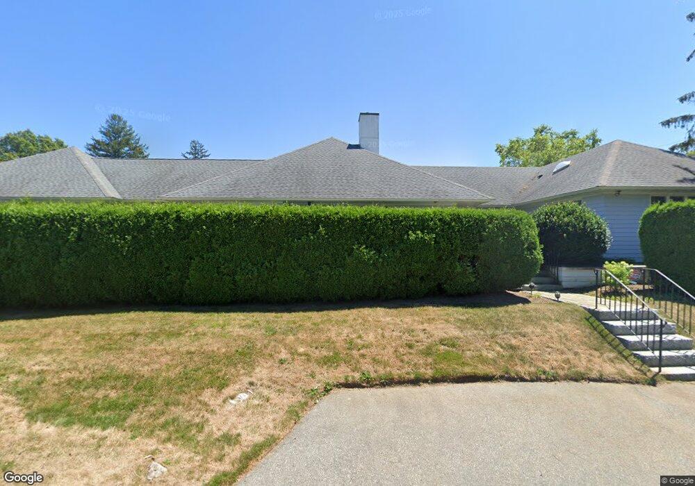
67 Harbor Ave Unit 1 Marblehead, MA 01945
Estimated Value: $1,967,085 - $2,695,000
3
Beds
3
Baths
2,270
Sq Ft
$1,017/Sq Ft
Est. Value
About This Home
This home is located at 67 Harbor Ave Unit 1, Marblehead, MA 01945 and is currently estimated at $2,308,271, approximately $1,016 per square foot. 67 Harbor Ave Unit 1 is a home located in Essex County with nearby schools including Marblehead High School, Marblehead Community Charter Public School, and Devereux School.
Ownership History
Date
Name
Owned For
Owner Type
Purchase Details
Closed on
Oct 18, 2023
Sold by
Curtis David A and Curtis Joanne H
Bought by
Curtis Ft and Curtis
Current Estimated Value
Purchase Details
Closed on
Oct 11, 2011
Sold by
Adams Weston W
Bought by
Curtis David A and Curtis Joanne H
Create a Home Valuation Report for This Property
The Home Valuation Report is an in-depth analysis detailing your home's value as well as a comparison with similar homes in the area
Home Values in the Area
Average Home Value in this Area
Purchase History
| Date | Buyer | Sale Price | Title Company |
|---|---|---|---|
| Curtis Ft | -- | None Available | |
| Curtis Ft | -- | None Available | |
| Curtis David A | $940,000 | -- | |
| Curtis David A | $940,000 | -- |
Source: Public Records
Tax History Compared to Growth
Tax History
| Year | Tax Paid | Tax Assessment Tax Assessment Total Assessment is a certain percentage of the fair market value that is determined by local assessors to be the total taxable value of land and additions on the property. | Land | Improvement |
|---|---|---|---|---|
| 2025 | $16,317 | $1,803,000 | $1,423,800 | $379,200 |
| 2024 | $18,478 | $2,062,300 | $1,809,000 | $253,300 |
| 2023 | $15,360 | $1,536,000 | $1,289,800 | $246,200 |
| 2022 | $15,300 | $1,454,400 | $1,206,000 | $248,400 |
| 2021 | $14,831 | $1,423,300 | $1,172,500 | $250,800 |
| 2020 | $15,040 | $1,447,500 | $1,256,300 | $191,200 |
| 2019 | $13,747 | $1,280,000 | $1,088,800 | $191,200 |
| 2018 | $12,813 | $1,162,700 | $971,500 | $191,200 |
| 2017 | $12,432 | $1,129,200 | $938,000 | $191,200 |
| 2016 | $11,506 | $1,036,600 | $871,000 | $165,600 |
| 2015 | $11,550 | $1,042,400 | $871,000 | $171,400 |
| 2014 | $11,141 | $1,004,600 | $837,500 | $167,100 |
Source: Public Records
Map
Nearby Homes
- 4 Ballast Ln
- 358 Ocean Ave
- 372 Ocean Ave
- 10 Risley Rd
- 95 Front St Unit 5
- 244 Ocean Ave
- 9 Skinner's Path Unit 9
- 24 Lee St Unit B10
- 24 Lee St Unit A3
- 131 Front St
- 33 Waldron St
- 60 Gregory St Unit 3
- 7 Waldron Ct
- 26 Summer St Unit 4
- 45 Washington St Unit 3
- 19 Doaks Ln
- 8 Franklin St Unit 19
- 3 Doaks Ln
- 20 Mechanic Square Unit 3
- 20 Mechanic Square Unit 2
- 67 Harbor Ave
- 3 Blanchard St
- 26 Nanepashemet St
- 73 Harbor Ave
- 15 Nanepashemet St
- 61 Harbor Ave
- 30 Nanepashemet St
- 11 Nanepashemet St
- 11 Nanepashemet St
- 6 Blanchard St
- 75 Harbor Ave
- 62 Harbor Ave
- 59 Harbor Ave
- 77 Harbor Ave
- 33 Nanepashemet St
- 53 Harbor Ave
- 35 Foster St
- 24 Brown St
- 3 Cutter Ct
- 3 Cutter Ct Unit 1