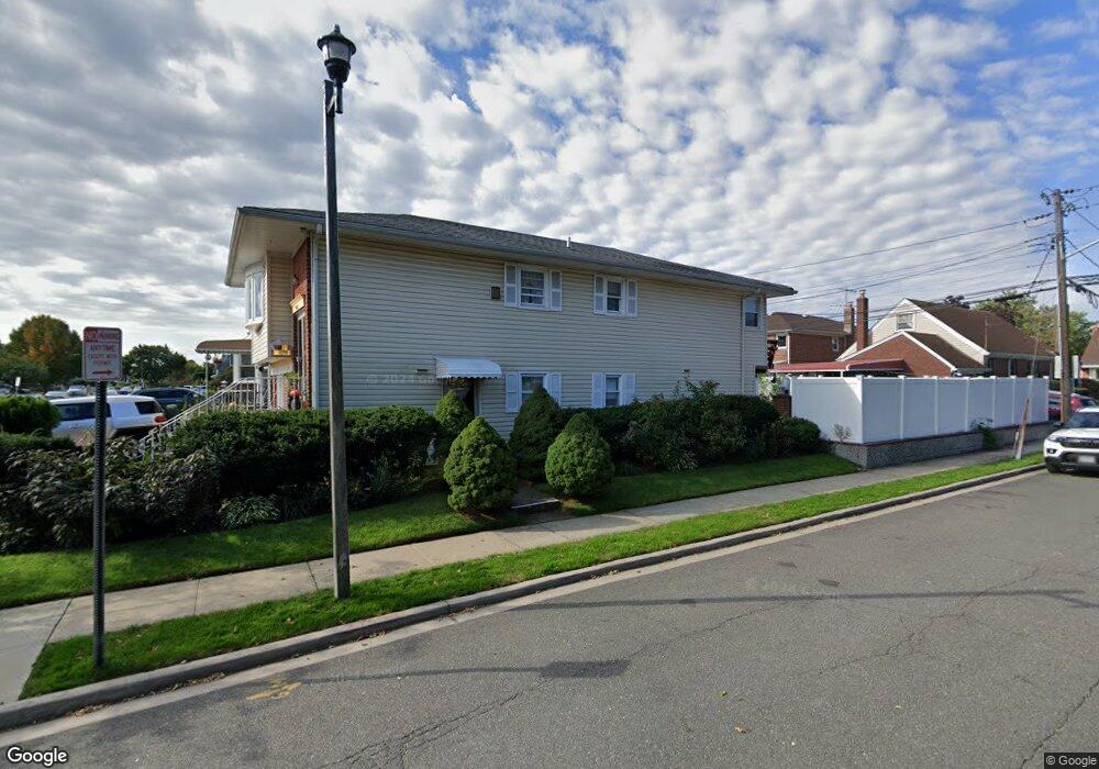
67 Heathcote Rd Elmont, NY 11003
Estimated Value: $798,000 - $813,888
4
Beds
2
Baths
1,145
Sq Ft
$704/Sq Ft
Est. Value
About This Home
This home is located at 67 Heathcote Rd, Elmont, NY 11003 and is currently estimated at $805,944, approximately $703 per square foot. 67 Heathcote Rd is a home located in Nassau County with nearby schools including Ss Joachim & Anne School.
Ownership History
Date
Name
Owned For
Owner Type
Purchase Details
Closed on
Oct 18, 2018
Sold by
Jeannot Pierre
Bought by
Goulbourne Camille A
Current Estimated Value
Home Financials for this Owner
Home Financials are based on the most recent Mortgage that was taken out on this home.
Original Mortgage
$436,000
Outstanding Balance
$381,027
Interest Rate
4.6%
Mortgage Type
New Conventional
Estimated Equity
$424,917
Purchase Details
Closed on
Oct 27, 2000
Sold by
Todisco Mario and Todisco Anna
Bought by
Pierre Jeannot and Pierre Monique
Create a Home Valuation Report for This Property
The Home Valuation Report is an in-depth analysis detailing your home's value as well as a comparison with similar homes in the area
Home Values in the Area
Average Home Value in this Area
Purchase History
| Date | Buyer | Sale Price | Title Company |
|---|---|---|---|
| Goulbourne Camille A | $5,450,000 | None Available | |
| Pierre Jeannot | $269,990 | Rita Dave |
Source: Public Records
Mortgage History
| Date | Status | Borrower | Loan Amount |
|---|---|---|---|
| Open | Goulbourne Camille A | $436,000 |
Source: Public Records
Tax History Compared to Growth
Tax History
| Year | Tax Paid | Tax Assessment Tax Assessment Total Assessment is a certain percentage of the fair market value that is determined by local assessors to be the total taxable value of land and additions on the property. | Land | Improvement |
|---|---|---|---|---|
| 2025 | $12,593 | $500 | $201 | $299 |
| 2024 | $4,030 | $513 | $206 | $307 |
| 2023 | $11,022 | $510 | $205 | $305 |
| 2022 | $11,022 | $523 | $211 | $312 |
| 2021 | $14,344 | $475 | $196 | $279 |
| 2020 | $9,504 | $499 | $375 | $124 |
| 2019 | $2,879 | $534 | $376 | $158 |
| 2018 | $2,925 | $570 | $0 | $0 |
| 2017 | $4,610 | $606 | $359 | $247 |
| 2016 | $7,583 | $676 | $401 | $275 |
| 2015 | $3,081 | $676 | $401 | $275 |
| 2014 | $3,081 | $676 | $401 | $275 |
| 2013 | $2,888 | $676 | $401 | $275 |
Source: Public Records
Map
Nearby Homes
- 98 Locustwood Blvd
- 150 Heathcote Rd
- 7 Sterling Rd
- 165 Heathcote Rd
- 45 Warwick Rd
- 174 Wellington Rd
- 219 Locustwood Blvd
- 80 Biltmore Ave
- 22722 112th Ave
- 12 Biltmore Ave
- 197 Biltmore Ave
- 22734 112th Rd
- 164 Biltmore Ave
- 22726 112th Rd
- 225-09 107th Ave
- 225-19 109th Ave
- 2334 Belmont Ave
- 10 Cedar St
- 105-01 225th St
- 257 Biltmore Ave
- 71 Heathcote Rd
- 75 Heathcote Rd
- 59 Heathcote Rd
- 84 Wellington Rd
- 87 Wellington Rd
- 79 Heathcote Rd
- 74 Wellington Rd
- 55 Heathcote Rd
- 2340 106th Ave
- 70 Heathcote Rd
- 80 Wellington Rd
- 80 Wellington Rd
- 81 Heathcote Rd
- 74 Heathcote Rd
- 60 Heathcote Rd
- 56 Wellington Rd
- 86 Wellington Rd
- 78 Heathcote Rd
- 51 Heathcote Rd
- 56 Heathcote Rd