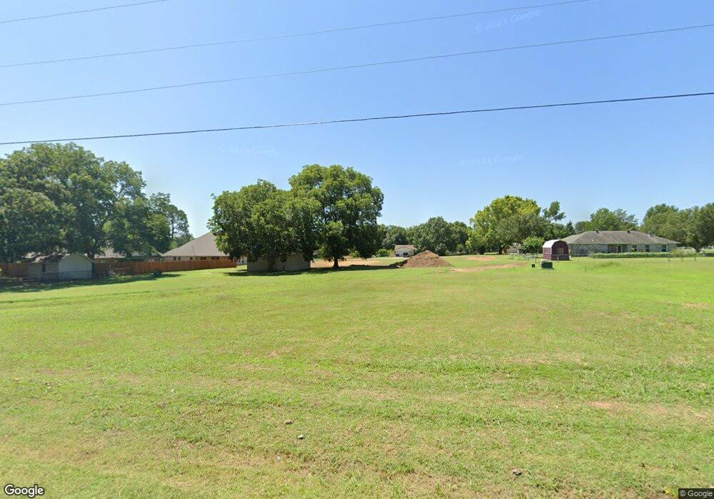
67 Hickory St Lone Grove, OK 73401
Estimated Value: $63,836 - $174,000
3
Beds
2
Baths
2,406
Sq Ft
$49/Sq Ft
Est. Value
About This Home
This home is located at 67 Hickory St, Lone Grove, OK 73401 and is currently estimated at $118,612, approximately $49 per square foot. 67 Hickory St is a home located in Carter County with nearby schools including Lone Grove Primary School, Lone Grove Intermediate School, and Lone Grove Middle School.
Ownership History
Date
Name
Owned For
Owner Type
Purchase Details
Closed on
Mar 15, 2024
Sold by
Schumacher James R and Schumacher Maureen M
Bought by
Bob Nunnelee Construction Inc
Current Estimated Value
Home Financials for this Owner
Home Financials are based on the most recent Mortgage that was taken out on this home.
Original Mortgage
$49,300
Outstanding Balance
$48,385
Interest Rate
6.64%
Mortgage Type
New Conventional
Estimated Equity
$70,227
Purchase Details
Closed on
Jan 14, 2021
Sold by
Schumacher James R and Schumacher Maureen M
Bought by
Bob Nunnelee Construction Inc
Purchase Details
Closed on
Nov 12, 2020
Sold by
Schumacher James R and Schumacher Maureen M
Bought by
Bob Nunnelee Construction Inc
Purchase Details
Closed on
Jan 16, 2008
Sold by
Bray Linda Christine
Bought by
Schmacher James R and Schmacher Maureen M
Create a Home Valuation Report for This Property
The Home Valuation Report is an in-depth analysis detailing your home's value as well as a comparison with similar homes in the area
Home Values in the Area
Average Home Value in this Area
Purchase History
| Date | Buyer | Sale Price | Title Company |
|---|---|---|---|
| Bob Nunnelee Construction Inc | $25,000 | Stewart Title | |
| Bob Nunnelee Construction Inc | $25,000 | Stewart Title Of Ok Inc | |
| Bob Nunnelee Construction Inc | $25,000 | Stewart Title Of Ok Inc | |
| Schmacher James R | $37,000 | -- | |
| Schumacher James R | $37,000 | -- | |
| Schumacher James R | $37,000 | -- | |
| Schumacher James R | $37,000 | -- |
Source: Public Records
Mortgage History
| Date | Status | Borrower | Loan Amount |
|---|---|---|---|
| Open | Bob Nunnelee Construction Inc | $49,300 |
Source: Public Records
Tax History Compared to Growth
Tax History
| Year | Tax Paid | Tax Assessment Tax Assessment Total Assessment is a certain percentage of the fair market value that is determined by local assessors to be the total taxable value of land and additions on the property. | Land | Improvement |
|---|---|---|---|---|
| 2025 | $396 | $59,433 | $3,240 | $56,193 |
| 2024 | $396 | $3,780 | $1,223 | $2,557 |
| 2023 | $149 | $1,427 | $1,223 | $204 |
| 2022 | $317 | $3,061 | $2,857 | $204 |
| 2021 | $304 | $2,916 | $2,639 | $277 |
| 2020 | $287 | $2,777 | $2,533 | $244 |
| 2019 | $273 | $2,645 | $2,412 | $233 |
| 2018 | $263 | $2,519 | $2,297 | $222 |
| 2017 | $249 | $2,399 | $2,183 | $216 |
| 2016 | $237 | $2,285 | $1,920 | $365 |
| 2015 | $265 | $2,302 | $1,920 | $382 |
| 2014 | $266 | $2,310 | $1,920 | $390 |
Source: Public Records
Map
Nearby Homes
- 270 Hickory St
- 40 Whipperwill St
- 0 Durango St
- 0 High Chaparal Dr Unit 2525272
- 7241 Myall Rd
- 7023 Myall Rd SW
- 0 Kelly Ln
- 940 Durango St
- 00 Bob White Rd
- 58 Wisteria St
- 86 Wisteria St
- 114 Laurel St
- 298 Evergreen St
- 656 Evergreen St
- 8841 Brock Rd
- 213 Laurel St
- 0 Evergreen St
- 318 Wisteria St
- 319 Cross Creek Cir
- 145 Cross Creek Cir
- 0 Hickory Dr Unit 24220
- 187 Hickory St
- 176 Hickory St
- 119 Hickory St Unit 119 Hickory St, Ardm
- 118 Hickory St
- TBD 1/2 Acre Whipperwill
- 93 Hickory St
- 110 Whipperwill St
- 216 Hickory St
- 90 Hickory St
- 215 Hickory St
- 163 Ruidosa St
- 147 Ruidosa St
- 211 Ruidosa St
- 211 Ruidosa St
- 94 Whipperwill St
- 216 Whipperwill St
- 66 Hickory St
- 232 Hickory St
- 243 Hickory St