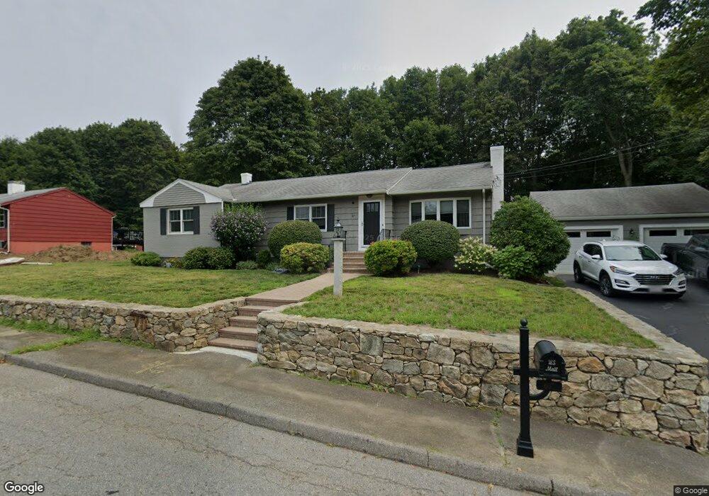
67 Highgate Rd Marlborough, MA 01752
Estimated Value: $592,000 - $649,000
3
Beds
2
Baths
1,409
Sq Ft
$443/Sq Ft
Est. Value
About This Home
This home is located at 67 Highgate Rd, Marlborough, MA 01752 and is currently estimated at $623,512, approximately $442 per square foot. 67 Highgate Rd is a home located in Middlesex County with nearby schools including Marlborough High School, New Covenant Christian School, and Glenhaven Academy - JRI School.
Ownership History
Date
Name
Owned For
Owner Type
Purchase Details
Closed on
Jun 1, 2004
Sold by
Corbett Andrea E
Bought by
Corbett Andrea E and Corbett Michael F
Current Estimated Value
Home Financials for this Owner
Home Financials are based on the most recent Mortgage that was taken out on this home.
Original Mortgage
$165,000
Outstanding Balance
$80,008
Interest Rate
5.88%
Mortgage Type
Purchase Money Mortgage
Estimated Equity
$543,504
Purchase Details
Closed on
Apr 16, 1999
Sold by
Cummings Matthew R and Cummings Joanne
Bought by
Corbett Andrea E
Home Financials for this Owner
Home Financials are based on the most recent Mortgage that was taken out on this home.
Original Mortgage
$170,050
Interest Rate
7.04%
Mortgage Type
Purchase Money Mortgage
Create a Home Valuation Report for This Property
The Home Valuation Report is an in-depth analysis detailing your home's value as well as a comparison with similar homes in the area
Home Values in the Area
Average Home Value in this Area
Purchase History
| Date | Buyer | Sale Price | Title Company |
|---|---|---|---|
| Corbett Andrea E | -- | -- | |
| Corbett Andrea E | $179,000 | -- |
Source: Public Records
Mortgage History
| Date | Status | Borrower | Loan Amount |
|---|---|---|---|
| Open | Corbett Andrea E | $165,000 | |
| Previous Owner | Corbett Andrea E | $170,050 | |
| Previous Owner | Corbett Andrea E | $149,400 |
Source: Public Records
Tax History Compared to Growth
Tax History
| Year | Tax Paid | Tax Assessment Tax Assessment Total Assessment is a certain percentage of the fair market value that is determined by local assessors to be the total taxable value of land and additions on the property. | Land | Improvement |
|---|---|---|---|---|
| 2025 | $5,378 | $545,400 | $232,000 | $313,400 |
| 2024 | $5,501 | $537,200 | $210,900 | $326,300 |
| 2023 | $5,508 | $477,300 | $169,900 | $307,400 |
| 2022 | $5,344 | $407,300 | $161,800 | $245,500 |
| 2021 | $5,443 | $394,400 | $134,800 | $259,600 |
| 2020 | $5,400 | $380,800 | $128,400 | $252,400 |
| 2019 | $5,297 | $376,500 | $125,900 | $250,600 |
| 2018 | $4,765 | $325,700 | $100,000 | $225,700 |
| 2017 | $4,521 | $295,100 | $99,100 | $196,000 |
| 2016 | $4,194 | $273,400 | $99,100 | $174,300 |
| 2015 | $4,080 | $258,900 | $106,400 | $152,500 |
Source: Public Records
Map
Nearby Homes
- 323 Robert Rd
- 38 Airport Blvd
- 37 Hosmer St Unit 10
- 37 Hosmer St Unit 20
- 256 Robert Rd
- 116 Boston Post Rd E Unit 105
- 110 Boston Post Rd E Unit 104
- 45 Raffaele Rd
- 181 Boston Post Rd E Unit 26
- 96 Cook Ln
- 97 Cook Ln
- 261 Boston Post Rd E Unit 1
- 271 Boston Post Rd E Unit 4
- 41 Kane Dr
- 23 Victoria Ln
- 70 Phelps St
- 24 Clinton St
- 99 Kings Grant Rd
- 16 Holly Hill Ln
- 16 Clinton St