67 Holmes Brook Ln Winthrop, ME 04364
Estimated Value: $333,000 - $403,919
3
Beds
2
Baths
1,012
Sq Ft
$360/Sq Ft
Est. Value
About This Home
This home is located at 67 Holmes Brook Ln, Winthrop, ME 04364 and is currently estimated at $364,480, approximately $360 per square foot. 67 Holmes Brook Ln is a home located in Kennebec County with nearby schools including Winthrop Grade School, Winthrop Middle School, and Winthrop High School.
Ownership History
Date
Name
Owned For
Owner Type
Purchase Details
Closed on
Nov 21, 2024
Sold by
Perkins Jr Frank A Est and Perkins
Bought by
Malmsten Brittany M and Malmsten Kale L
Current Estimated Value
Home Financials for this Owner
Home Financials are based on the most recent Mortgage that was taken out on this home.
Original Mortgage
$314,100
Outstanding Balance
$311,089
Interest Rate
6.32%
Mortgage Type
Purchase Money Mortgage
Estimated Equity
$53,391
Create a Home Valuation Report for This Property
The Home Valuation Report is an in-depth analysis detailing your home's value as well as a comparison with similar homes in the area
Home Values in the Area
Average Home Value in this Area
Purchase History
| Date | Buyer | Sale Price | Title Company |
|---|---|---|---|
| Malmsten Brittany M | $350,000 | None Available | |
| Malmsten Brittany M | $350,000 | None Available |
Source: Public Records
Mortgage History
| Date | Status | Borrower | Loan Amount |
|---|---|---|---|
| Open | Malmsten Brittany M | $314,100 | |
| Closed | Malmsten Brittany M | $314,100 |
Source: Public Records
Tax History Compared to Growth
Tax History
| Year | Tax Paid | Tax Assessment Tax Assessment Total Assessment is a certain percentage of the fair market value that is determined by local assessors to be the total taxable value of land and additions on the property. | Land | Improvement |
|---|---|---|---|---|
| 2024 | $6,041 | $261,500 | $165,300 | $96,200 |
| 2022 | $5,693 | $261,500 | $165,300 | $96,200 |
| 2021 | $5,374 | $261,500 | $165,300 | $96,200 |
| 2020 | $5,400 | $261,500 | $165,300 | $96,200 |
| 2019 | $5,295 | $261,500 | $165,300 | $96,200 |
| 2018 | $4,788 | $261,500 | $165,300 | $96,200 |
| 2017 | $4,479 | $261,500 | $165,300 | $96,200 |
| 2016 | $4,142 | $261,500 | $165,300 | $96,200 |
| 2015 | $3,996 | $261,500 | $165,300 | $96,200 |
| 2014 | $3,996 | $261,500 | $165,300 | $96,200 |
Source: Public Records
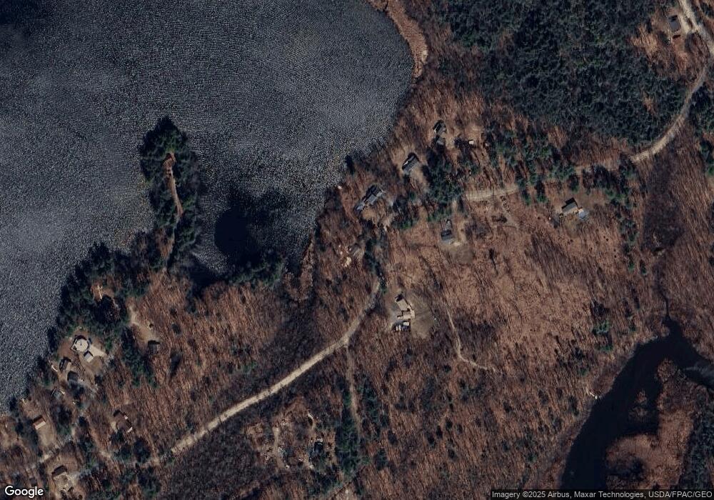
Map
Nearby Homes
- Lot 6 Holmes Brook Ln
- 172-B Annabessacook Rd
- 172 Annabessacook Rd
- Lot 42B Fire Road A-3
- 251 Annabessacook Rd
- 87 Annabessacook Rd
- 90 Route 133
- 1103 Route 135
- 168 Main St
- 22 Guerette Rd
- 23 Green St
- M3 L9 Winthrop Center Rd
- 57 Neal Ln
- 25 Hansons Wood Rd
- 206 Route 133
- M003L006 Winthrop Center Rd
- 11 Neal Ln
- 83 Larry Dr
- 35002 Waugan Rd
- 173 Loon Cove Ln
- 61 Holmes Brook
- 61 Holmes Brook Ln
- 5670 Holmes Ln
- 74 Holmes Brook Ln
- 52 Holmes Brook Ln
- 55 Holmes Brook Ln
- 39 Holmes Brook Ln
- 2 Harold Howell Way
- 32 Holmes Brook Ln
- 0 Holmes Brook Ln Unit 1351272
- 26 Harold Howell Way
- 23 Harold Howell Way
- 31 Harold Howell Way
- 43 Pine Air Way
- 95 Briggs Shore Ln
- 37 Harold Howell Way
- 86 Briggs Shore Ln
- 41 Harold Howell Way
- 6 Holmes Brook Ln
- 47 Harold Howell Way