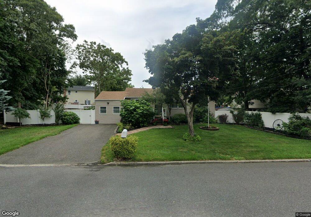
67 Huron St Port Jefferson Station, NY 11776
Estimated Value: $497,000 - $545,092
3
Beds
1
Bath
1,166
Sq Ft
$445/Sq Ft
Est. Value
About This Home
This home is located at 67 Huron St, Port Jefferson Station, NY 11776 and is currently estimated at $519,273, approximately $445 per square foot. 67 Huron St is a home located in Suffolk County with nearby schools including John F Kennedy Middle School and Comsewogue High School.
Ownership History
Date
Name
Owned For
Owner Type
Purchase Details
Closed on
Sep 28, 2020
Sold by
Ferrari Debbie A
Bought by
Ferrari Thomas E and Parisi Cara M
Current Estimated Value
Home Financials for this Owner
Home Financials are based on the most recent Mortgage that was taken out on this home.
Original Mortgage
$270,000
Outstanding Balance
$240,151
Interest Rate
2.9%
Mortgage Type
New Conventional
Estimated Equity
$279,122
Create a Home Valuation Report for This Property
The Home Valuation Report is an in-depth analysis detailing your home's value as well as a comparison with similar homes in the area
Home Values in the Area
Average Home Value in this Area
Purchase History
| Date | Buyer | Sale Price | Title Company |
|---|---|---|---|
| Ferrari Thomas E | $340,000 | None Available |
Source: Public Records
Mortgage History
| Date | Status | Borrower | Loan Amount |
|---|---|---|---|
| Open | Ferrari Thomas E | $270,000 |
Source: Public Records
Tax History Compared to Growth
Tax History
| Year | Tax Paid | Tax Assessment Tax Assessment Total Assessment is a certain percentage of the fair market value that is determined by local assessors to be the total taxable value of land and additions on the property. | Land | Improvement |
|---|---|---|---|---|
| 2024 | $9,156 | $2,125 | $150 | $1,975 |
| 2023 | $9,156 | $2,125 | $150 | $1,975 |
| 2022 | $7,104 | $2,125 | $150 | $1,975 |
| 2021 | $7,104 | $2,125 | $150 | $1,975 |
| 2020 | $7,300 | $2,125 | $150 | $1,975 |
| 2019 | $7,300 | $0 | $0 | $0 |
| 2018 | $6,934 | $2,125 | $150 | $1,975 |
| 2017 | $6,934 | $2,125 | $150 | $1,975 |
| 2016 | $6,878 | $2,125 | $150 | $1,975 |
| 2015 | -- | $2,125 | $150 | $1,975 |
| 2014 | -- | $2,125 | $150 | $1,975 |
Source: Public Records
Map
Nearby Homes
- 58A Superior St
- 20 Revere Cir
- 6 13th St
- 27 Parkridge Cir
- 122 Stuyvesant Dr
- 1704 Nicole Dr
- 1506 Nicole Dr
- 1 Dillon Ave
- 117 Stuyvesant Dr
- 484 Bicycle Path
- 1405 Constance Ln
- 38 Charter Rd
- 903 Constance Ln
- 10 Woodbine St
- 2 East Ave
- 507 Constance Ln
- 213 Stuyvesant Dr
- 10 Orchid Dr
- 24 Woodbine St
- 5 Lincoln St