Estimated Value: $261,104 - $411,000
3
Beds
2
Baths
1,758
Sq Ft
$176/Sq Ft
Est. Value
About This Home
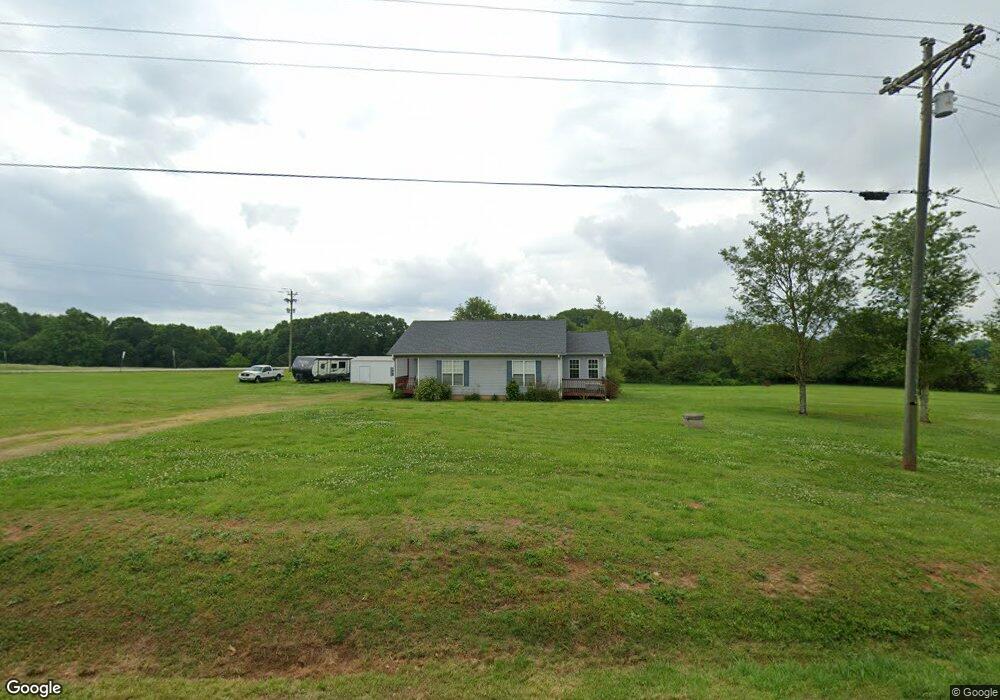
This home is located at 67 Jackson Bridge Rd, Canon, GA 30520 and is currently estimated at $309,026, approximately $175 per square foot. 67 Jackson Bridge Rd is a home with nearby schools including Franklin County High School.
Ownership History
Date
Name
Owned For
Owner Type
Purchase Details
Closed on
Jul 14, 2006
Sold by
Mcneal William D
Bought by
Coker Randall D
Current Estimated Value
Home Financials for this Owner
Home Financials are based on the most recent Mortgage that was taken out on this home.
Original Mortgage
$111,852
Outstanding Balance
$65,518
Interest Rate
6.6%
Mortgage Type
New Conventional
Estimated Equity
$243,508
Purchase Details
Closed on
Sep 28, 2004
Sold by
National Bank Of Gainesville A
Bought by
Mcneal William D
Purchase Details
Closed on
Nov 4, 2003
Sold by
Sosby Timothy C and Sosby Miranda
Bought by
National Bank Of Gainesville Attny For
Purchase Details
Closed on
Aug 9, 2002
Sold by
Sosby Timothy C
Bought by
Sosby Timothy C and Sosby Miranda
Purchase Details
Closed on
May 16, 2001
Sold by
Daine Sosby
Bought by
Sosby Timothy C
Create a Home Valuation Report for This Property
The Home Valuation Report is an in-depth analysis detailing your home's value as well as a comparison with similar homes in the area
Purchase History
| Date | Buyer | Sale Price | Title Company |
|---|---|---|---|
| Coker Randall D | $111,000 | -- | |
| Mcneal William D | $101,100 | -- | |
| National Bank Of Gainesville Attny For | -- | -- | |
| Sosby Timothy C | -- | -- | |
| Sosby Timothy C | -- | -- |
Source: Public Records
Mortgage History
| Date | Status | Borrower | Loan Amount |
|---|---|---|---|
| Open | Coker Randall D | $111,852 | |
| Closed | Coker Randall D | $117,000 |
Source: Public Records
Tax History
| Year | Tax Paid | Tax Assessment Tax Assessment Total Assessment is a certain percentage of the fair market value that is determined by local assessors to be the total taxable value of land and additions on the property. | Land | Improvement |
|---|---|---|---|---|
| 2025 | $1,754 | $77,923 | $15,592 | $62,331 |
| 2024 | $1,483 | $64,290 | $7,481 | $56,809 |
| 2023 | $1,459 | $58,565 | $6,801 | $51,764 |
| 2022 | $1,303 | $52,493 | $5,326 | $47,167 |
| 2021 | $1,270 | $48,168 | $5,326 | $42,842 |
| 2020 | $1,284 | $48,168 | $5,326 | $42,842 |
| 2019 | $1,240 | $48,168 | $5,326 | $42,842 |
| 2018 | $1,120 | $43,710 | $6,108 | $37,602 |
| 2017 | $1,133 | $42,581 | $6,108 | $36,473 |
| 2016 | $1,093 | $39,439 | $6,108 | $33,331 |
| 2015 | -- | $39,439 | $6,108 | $33,331 |
| 2014 | -- | $39,439 | $6,108 | $33,331 |
| 2013 | -- | $39,836 | $6,108 | $33,728 |
Source: Public Records
Map
Nearby Homes
- 2565 New Franklin Church Rd
- 0 Unawatti Rd Unit 10710186
- 1320 Burroughs Rd
- 138 Airport Rd Unit 14
- 174 Airport Rd Unit 12
- 206 Airport Rd Unit 11
- 154 Airport Rd Unit 13
- 365 Carroll Church Rd
- 0 New Franklin Church Rd
- 6.98 ACRES New Franklin Church Rd
- 6602 New Franklin Church Rd
- 432 Airport Rd
- 230 Airport Rd Unit 9
- 226 Airport Rd Unit 10
- 2985 Jackson Bridge Rd
- 111 College Ave
- 1279 S Fairview Rd
- 152 Sewell Rd
- 62 Sewell Rd
- 40 Sewell Rd
- 1 Jackson Bridge Rd
- 100 Jackson Bridge Rd
- 1 Airport Rd
- 27 Burroughs Rd
- 0 Airport Rd Unit 10303325
- 0 Burroughs Rd Unit 20121530
- 0 Burroughs Rd Unit 7038171
- 0 Burroughs Rd Unit 3234396
- 0 Airport Rd Unit 8288773
- 0 Airport Rd Unit 8384520
- 0 Airport Rd Unit 8860411
- 246 Jackson Bridge Rd
- 2830 New Franklin Church Rd
- 150 Burroughs Rd
- 650 Jackson Bridge Rd
- 3252 New Franklin Church Rd
- 213 Burroughs Rd
- 278 Burroughs Rd
- 3300 New Franklin Church Rd
- 2649 New Franklin Church Rd
Your Personal Tour Guide
Ask me questions while you tour the home.