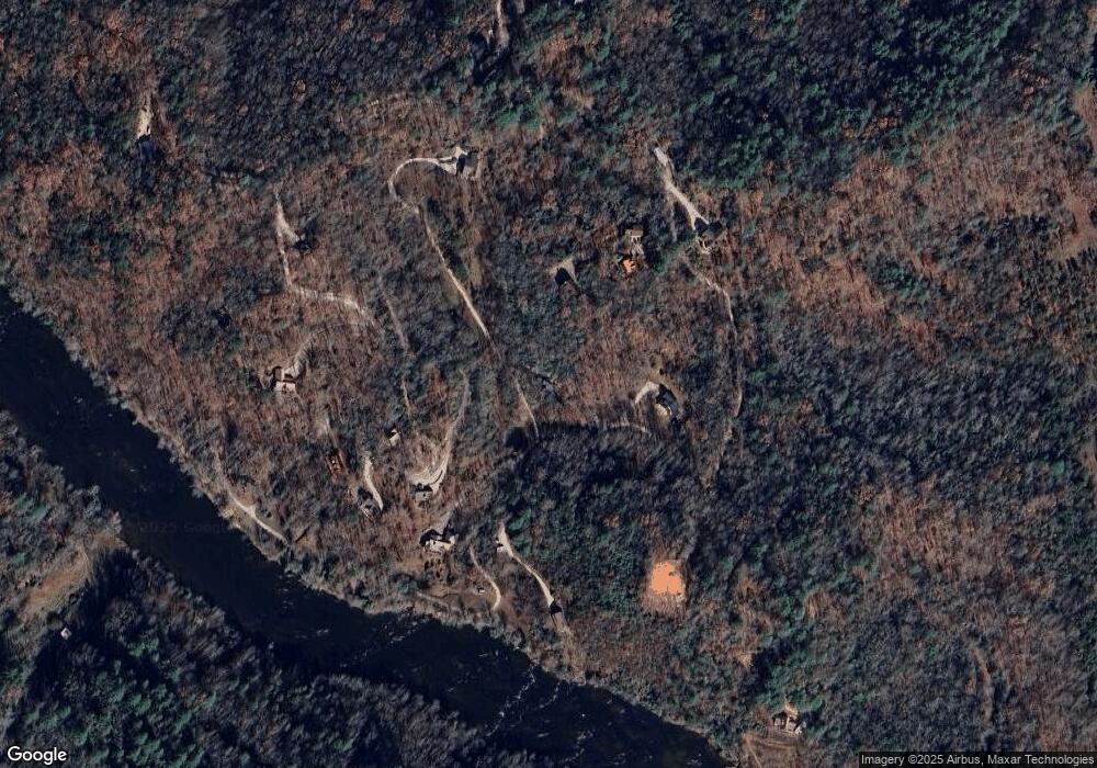
67 Jasons Meadow Dr Franklin, NC 28734
Estimated Value: $294,000 - $394,000
2
Beds
2
Baths
1,156
Sq Ft
$301/Sq Ft
Est. Value
About This Home
This home is located at 67 Jasons Meadow Dr, Franklin, NC 28734 and is currently estimated at $348,147, approximately $301 per square foot. 67 Jasons Meadow Dr is a home located in Macon County with nearby schools including Iotla Valley Elementary School, Mountain View Intermediate School, and Macon Middle School.
Ownership History
Date
Name
Owned For
Owner Type
Purchase Details
Closed on
Dec 22, 2020
Sold by
Shumway Tracey D and Woods Robert Williams
Bought by
Shumway Tracey D and Tracey Shumway Trust
Current Estimated Value
Purchase Details
Closed on
Mar 27, 2008
Sold by
Harrison Susan D and Harrison Robert Blair
Bought by
Shumway Tracey D
Purchase Details
Closed on
Dec 8, 2005
Sold by
Pack Alicia A
Bought by
Harrison Susan D
Create a Home Valuation Report for This Property
The Home Valuation Report is an in-depth analysis detailing your home's value as well as a comparison with similar homes in the area
Home Values in the Area
Average Home Value in this Area
Purchase History
| Date | Buyer | Sale Price | Title Company |
|---|---|---|---|
| Shumway Tracey D | -- | None Available | |
| Shumway Tracey D | $60,000 | None Available | |
| Harrison Susan D | -- | None Available |
Source: Public Records
Tax History Compared to Growth
Tax History
| Year | Tax Paid | Tax Assessment Tax Assessment Total Assessment is a certain percentage of the fair market value that is determined by local assessors to be the total taxable value of land and additions on the property. | Land | Improvement |
|---|---|---|---|---|
| 2025 | $1,276 | $332,050 | $35,290 | $296,760 |
| 2024 | $1,276 | $332,050 | $35,290 | $296,760 |
| 2023 | $1,163 | $332,050 | $35,290 | $296,760 |
| 2022 | $1,163 | $205,110 | $23,120 | $181,990 |
| 2021 | $1,163 | $205,110 | $23,120 | $181,990 |
| 2020 | $1,111 | $205,110 | $23,120 | $181,990 |
| 2018 | $1,067 | $211,550 | $33,600 | $177,950 |
| 2017 | $1,067 | $211,550 | $33,600 | $177,950 |
| 2016 | $1,067 | $211,550 | $33,600 | $177,950 |
| 2015 | $1,044 | $211,550 | $33,600 | $177,950 |
| 2014 | $895 | $226,810 | $56,100 | $170,710 |
| 2013 | -- | $226,810 | $56,100 | $170,710 |
Source: Public Records
Map
Nearby Homes
- 319 McGaha Rd
- 860 Robbins Rd
- 0 Sunset Trace Trail
- 893 Carnes Rd
- 154 Glass Shanty Cir
- 8597 Lower Burningtown Rd
- 157 Jay Bird Trail
- 43 Moon Shadow Rd
- 4136 Rose Creek Rd
- 4908 Rose Creek Rd
- 25 Mallory Mountain
- 408 Queen Branch Rd
- LOT 22 Willa Rd
- 0 Buck Naked
- 4092 Rose Creek Rd
- 22 N Moss Way
- 15 Saldeer Mountain Rd
- 311 Lakey Creek Dr
- 128 Cody Rd
- 0 Bradley Creek Rd Unit 26041165
- 133 Bear Bottom Bluff
- 133 Bear Bottom Bluff
- 66 N Wolf Trail
- 57 Jasons Meadow Dr
- LOT #24 Bear Bottom Bluff
- 1 Bear Bottom Bluff
- 000 Bear Bottom Bluff
- 173 Running Wolf Dr
- Lot 35 Soaring Eagle Dr
- Lot 35 Soaring Eagle Dr
- Lot 32 Soaring Eagle Dr
- Lot #6 Soaring Eagle Dr
- LOT#26 Soaring Eagle Dr
- 1 Soaring Eagle Dr
- 1 Soaring Eagle Dr
- 000 Soaring Eagle Dr
- 0 Soaring Eagle Dr
- 305 Climbing Bear Dr
- 15 N Wolf Trail
- 247 Soaring Eagle Dr
