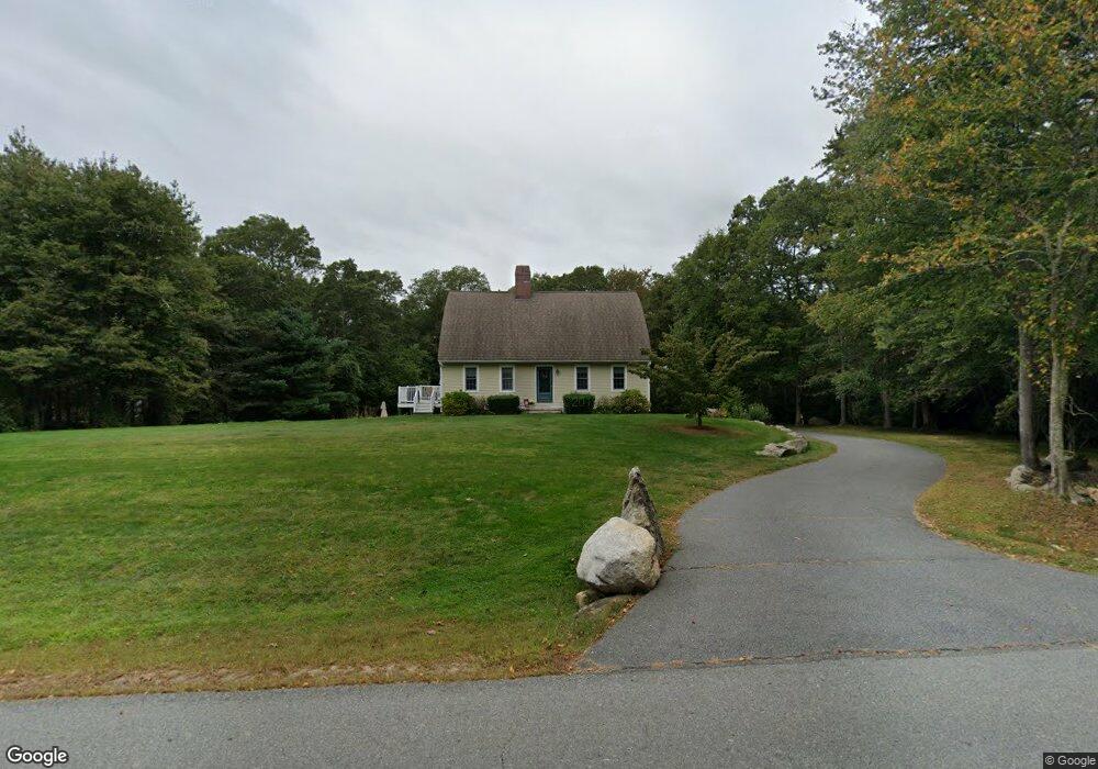
67 John Dyer Rd Little Compton, RI 02837
Estimated Value: $840,698 - $1,079,000
3
Beds
2
Baths
2,016
Sq Ft
$467/Sq Ft
Est. Value
About This Home
This home is located at 67 John Dyer Rd, Little Compton, RI 02837 and is currently estimated at $940,925, approximately $466 per square foot. 67 John Dyer Rd is a home located in Newport County with nearby schools including Wilbur & McMahon School.
Ownership History
Date
Name
Owned For
Owner Type
Purchase Details
Closed on
Nov 6, 1996
Sold by
Sowa Martin J and Sowa Doris
Bought by
Mckinnon Kevin F and Kiley Elizabeth A
Current Estimated Value
Home Financials for this Owner
Home Financials are based on the most recent Mortgage that was taken out on this home.
Original Mortgage
$158,400
Interest Rate
8.1%
Mortgage Type
Purchase Money Mortgage
Create a Home Valuation Report for This Property
The Home Valuation Report is an in-depth analysis detailing your home's value as well as a comparison with similar homes in the area
Home Values in the Area
Average Home Value in this Area
Purchase History
| Date | Buyer | Sale Price | Title Company |
|---|---|---|---|
| Mckinnon Kevin F | $56,000 | -- |
Source: Public Records
Mortgage History
| Date | Status | Borrower | Loan Amount |
|---|---|---|---|
| Open | Mckinnon Kevin F | $155,000 | |
| Closed | Mckinnon Kevin F | $158,400 |
Source: Public Records
Tax History
| Year | Tax Paid | Tax Assessment Tax Assessment Total Assessment is a certain percentage of the fair market value that is determined by local assessors to be the total taxable value of land and additions on the property. | Land | Improvement |
|---|---|---|---|---|
| 2025 | $3,336 | $696,400 | $294,000 | $402,400 |
| 2024 | $2,971 | $584,800 | $197,500 | $387,300 |
| 2023 | $2,901 | $584,800 | $197,500 | $387,300 |
| 2022 | $2,866 | $584,800 | $197,500 | $387,300 |
| 2021 | $2,707 | $448,100 | $173,100 | $275,000 |
| 2020 | $2,684 | $448,100 | $173,100 | $275,000 |
| 2019 | $2,657 | $448,100 | $173,100 | $275,000 |
| 2018 | $2,818 | $472,800 | $173,100 | $299,700 |
| 2016 | $2,681 | $472,800 | $173,100 | $299,700 |
| 2015 | $2,578 | $448,400 | $158,200 | $290,200 |
| 2014 | $2,529 | $448,400 | $158,200 | $290,200 |
Source: Public Records
Map
Nearby Homes
- 245 John Dyer Rd
- 116 Amy Hart Path
- 25 Quail Trail
- 17 Quail Trail
- 140 Long Hwy
- 140I Long Hwy
- 90 Two Rod Rd
- 502 Southlake Rd
- 184 Field Stone Ln
- 255 John Dyer Rd
- 505 Long Hwy
- 127 Preservation Way
- 164 Stoney Hollow Rd
- 1282 East Rd
- 1 Puddingstone Cir
- 0 Willow Ave
- 141 Peckham Rd
- 101 Adamsville Rd
- 4 Pequaw-Honk Dr
- 839 Main Rd
- 73 John Dyer Rd
- 63 John Dyer Rd
- 79 John Dyer Rd
- 60 John Dyer Rd
- 59 John Dyer Rd
- 68 John Dyer Rd
- 104 John Dyer Rd
- 70 John Dyer Rd
- 9 W Branch Rd
- 51 John Dyer Rd
- 4 W Branch Rd
- 8 W Branch Rd
- 88 John Dyer Rd
- 101 John Dyer Rd
- 15 W Branch Rd
- 43 John Dyer Rd
- 12 W Branch Rd
- 41 Big Drum Rd
- 33 Big Drum Rd
- 40 John Dyer Rd
Your Personal Tour Guide
Ask me questions while you tour the home.