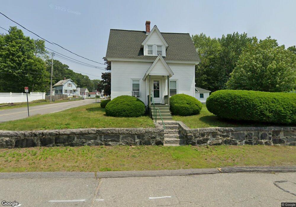
67 Lamb St Lowell, MA 01854
Pawtucketville NeighborhoodEstimated Value: $493,452 - $529,000
2
Beds
2
Baths
1,575
Sq Ft
$321/Sq Ft
Est. Value
About This Home
This home is located at 67 Lamb St, Lowell, MA 01854 and is currently estimated at $506,113, approximately $321 per square foot. 67 Lamb St is a home located in Middlesex County with nearby schools including Joseph McAvinnue Elementary School, Charlotte M. Murkland Elementary School, and Charles W. Morey Elementary School.
Ownership History
Date
Name
Owned For
Owner Type
Purchase Details
Closed on
Dec 13, 2024
Sold by
Ouellette Donald R
Bought by
Ouellette Joanna
Current Estimated Value
Purchase Details
Closed on
Nov 3, 2022
Sold by
Ouellette Viviane J
Bought by
Ford Suzanne C and Ouellette Donald R
Purchase Details
Closed on
Jun 8, 1983
Bought by
Ouellette Richard H and Ouellette Viviane J
Create a Home Valuation Report for This Property
The Home Valuation Report is an in-depth analysis detailing your home's value as well as a comparison with similar homes in the area
Home Values in the Area
Average Home Value in this Area
Purchase History
| Date | Buyer | Sale Price | Title Company |
|---|---|---|---|
| Ouellette Joanna | -- | None Available | |
| Ouellette Joanna | -- | None Available | |
| Ford Suzanne C | -- | None Available | |
| Ford Suzanne C | -- | None Available | |
| Ouellette Richard H | -- | -- |
Source: Public Records
Tax History
| Year | Tax Paid | Tax Assessment Tax Assessment Total Assessment is a certain percentage of the fair market value that is determined by local assessors to be the total taxable value of land and additions on the property. | Land | Improvement |
|---|---|---|---|---|
| 2025 | $5,155 | $449,000 | $176,500 | $272,500 |
| 2024 | $4,758 | $399,500 | $142,500 | $257,000 |
| 2023 | $4,384 | $353,000 | $116,300 | $236,700 |
| 2022 | $4,077 | $321,300 | $103,000 | $218,300 |
| 2021 | $3,808 | $282,900 | $89,600 | $193,300 |
| 2020 | $4,003 | $299,600 | $115,800 | $183,800 |
| 2019 | $3,671 | $261,500 | $101,700 | $159,800 |
| 2018 | $3,592 | $249,600 | $96,900 | $152,700 |
| 2017 | $3,454 | $231,500 | $88,100 | $143,400 |
| 2016 | $3,312 | $218,500 | $85,700 | $132,800 |
| 2015 | $3,180 | $205,400 | $82,100 | $123,300 |
| 2013 | $2,990 | $199,200 | $90,600 | $108,600 |
Source: Public Records
Map
Nearby Homes
- 2300 Skyline Dr Unit 3
- 105 Columbia Rd
- 1400 Skyline Dr Unit 6
- 30 4th Ave
- 67 Glennon Ave
- 89 Mammoth Rd
- 104 Woodward Ave
- 101 Donohue Rd Unit 19
- 38 Starbird St
- 94 Hampson St
- 187 Varnum Ave
- 28 Sarah Ave
- 39 Phoebe Ave
- 15 Barbara St
- 15 Louis Farm Rd Unit 15
- 49 Sparks St
- 248 Acropolis Rd
- 79 School St Unit 4
- 113 School St Unit 12
- 57 Wannalancit St Unit 6
Your Personal Tour Guide
Ask me questions while you tour the home.