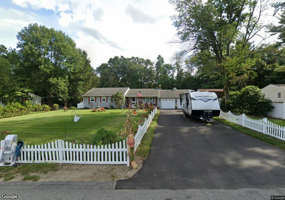
67 Lapham Farm Rd Pascoag, RI 02859
Burrillville NeighborhoodEstimated Value: $525,000 - $648,000
2
Beds
2
Baths
2,890
Sq Ft
$197/Sq Ft
Est. Value
About This Home
This home is located at 67 Lapham Farm Rd, Pascoag, RI 02859 and is currently estimated at $570,334, approximately $197 per square foot. 67 Lapham Farm Rd is a home located in Providence County with nearby schools including Austin T. Levy School, Burrillville Middle School, and Burrillville High School.
Ownership History
Date
Name
Owned For
Owner Type
Purchase Details
Closed on
Mar 22, 2018
Sold by
Chabot Gary A and Chabot Patricia A
Bought by
Gary A & P A Chabot Ret
Current Estimated Value
Purchase Details
Closed on
Jul 13, 1994
Sold by
White Denise M
Bought by
Chabot Gary A and Chabot Patricia
Home Financials for this Owner
Home Financials are based on the most recent Mortgage that was taken out on this home.
Original Mortgage
$75,000
Interest Rate
8.51%
Create a Home Valuation Report for This Property
The Home Valuation Report is an in-depth analysis detailing your home's value as well as a comparison with similar homes in the area
Home Values in the Area
Average Home Value in this Area
Purchase History
| Date | Buyer | Sale Price | Title Company |
|---|---|---|---|
| Gary A & P A Chabot Ret | -- | -- | |
| Chabot Gary A | $137,000 | -- |
Source: Public Records
Mortgage History
| Date | Status | Borrower | Loan Amount |
|---|---|---|---|
| Previous Owner | Chabot Gary A | $25,000 | |
| Previous Owner | Chabot Gary A | $70,000 | |
| Previous Owner | Chabot Gary A | $75,000 |
Source: Public Records
Tax History Compared to Growth
Tax History
| Year | Tax Paid | Tax Assessment Tax Assessment Total Assessment is a certain percentage of the fair market value that is determined by local assessors to be the total taxable value of land and additions on the property. | Land | Improvement |
|---|---|---|---|---|
| 2025 | $5,563 | $467,500 | $92,100 | $375,400 |
| 2024 | $5,144 | $343,400 | $73,700 | $269,700 |
| 2023 | $4,942 | $343,400 | $73,700 | $269,700 |
| 2022 | $4,777 | $343,400 | $73,700 | $269,700 |
| 2021 | $4,979 | $303,200 | $72,000 | $231,200 |
| 2020 | $4,838 | $302,200 | $72,000 | $230,200 |
| 2019 | $4,835 | $302,200 | $72,000 | $230,200 |
| 2018 | $4,479 | $246,100 | $64,700 | $181,400 |
| 2017 | $4,322 | $246,100 | $64,700 | $181,400 |
| 2016 | $4,280 | $246,100 | $64,700 | $181,400 |
| 2015 | $3,944 | $208,900 | $65,300 | $143,600 |
| 2014 | $3,944 | $208,900 | $65,300 | $143,600 |
Source: Public Records
Map
Nearby Homes
- 0 Griffin St Unit 1387114
- 654 Steere Farm Rd
- 0 Steere Farm Rd
- 0 Mowry St
- 460 Camp Dixie Rd
- 161 Sayles Ave
- 156 Broad St
- 11 Central St
- 265 Sayles Ave Unit 1
- 42 Steere Farm Rd
- 48 Shea Ln
- 25 Melissa Ln
- 393 Church St
- 74 Grove St
- 248 Church St
- 248-252 Church St
- 361 Chapel St
- 448 Chapel St
- 311 Chapel St
- 464 Chapel St
- 63 Lapham Farm Rd
- 85 Lapham Farm Rd
- 47 Lapham Farm Rd
- 546 S Main St
- 101 Lapham Farm Rd
- 35 Lapham Farm Rd
- 110 Lapham Farm Rd
- 536 S Main St
- 560 S Main St
- 42 Lapham Farm Rd
- 123 Lapham Farm Rd
- 15 Lapham Farm Rd
- 120 Lapham Farm Rd
- 24 Lapham Farm Rd
- 578 S Main St
- 539 S Main St
- 535 S Main St
- 555 S Main St
- 584 S Main St
- 134 Lapham Farm Rd