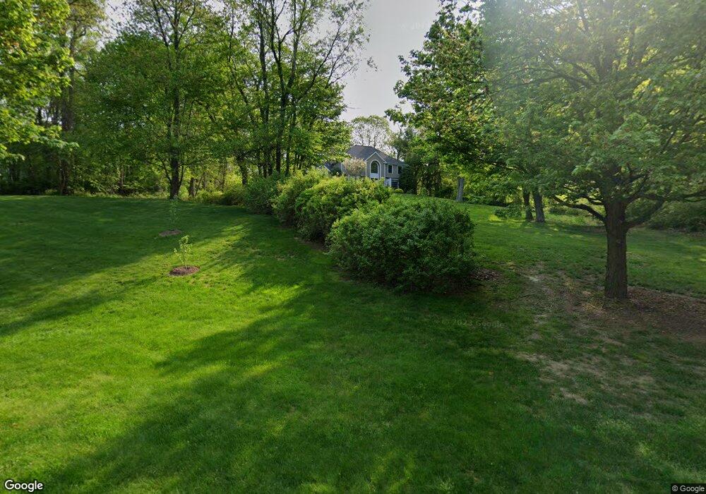
67 Laurel Dr Easton, CT 06612
Estimated Value: $1,035,466 - $1,736,000
4
Beds
3
Baths
3,040
Sq Ft
$411/Sq Ft
Est. Value
About This Home
This home is located at 67 Laurel Dr, Easton, CT 06612 and is currently estimated at $1,250,617, approximately $411 per square foot. 67 Laurel Dr is a home located in Fairfield County with nearby schools including Samuel Staples Elementary School, Helen Keller Middle School, and Joel Barlow High School.
Ownership History
Date
Name
Owned For
Owner Type
Purchase Details
Closed on
Jun 28, 1996
Sold by
Plante Construction Co
Bought by
Hanelt Harry H and Hanelt Patricia B
Current Estimated Value
Create a Home Valuation Report for This Property
The Home Valuation Report is an in-depth analysis detailing your home's value as well as a comparison with similar homes in the area
Home Values in the Area
Average Home Value in this Area
Purchase History
| Date | Buyer | Sale Price | Title Company |
|---|---|---|---|
| Hanelt Harry H | $545,000 | -- | |
| Hanelt Harry H | $545,000 | -- |
Source: Public Records
Mortgage History
| Date | Status | Borrower | Loan Amount |
|---|---|---|---|
| Open | Hanelt Harry H | $359,715 | |
| Closed | Hanelt Harry H | $399,000 | |
| Closed | Hanelt Harry H | $150,000 |
Source: Public Records
Tax History
| Year | Tax Paid | Tax Assessment Tax Assessment Total Assessment is a certain percentage of the fair market value that is determined by local assessors to be the total taxable value of land and additions on the property. | Land | Improvement |
|---|---|---|---|---|
| 2025 | $16,036 | $517,300 | $193,690 | $323,610 |
| 2024 | $15,281 | $517,300 | $193,690 | $323,610 |
| 2023 | $14,981 | $517,300 | $193,690 | $323,610 |
| 2022 | $14,712 | $517,300 | $193,690 | $323,610 |
| 2021 | $14,470 | $447,280 | $190,270 | $257,010 |
| 2020 | $13,866 | $447,280 | $190,270 | $257,010 |
| 2019 | $14,013 | $447,280 | $190,270 | $257,010 |
| 2018 | $14,036 | $447,280 | $190,270 | $257,010 |
| 2017 | $14,930 | $447,280 | $190,270 | $257,010 |
| 2016 | $13,912 | $451,530 | $193,740 | $257,790 |
| 2015 | $13,717 | $451,530 | $193,740 | $257,790 |
| 2014 | $13,329 | $445,770 | $193,730 | $252,040 |
Source: Public Records
Map
Nearby Homes
- 340 Morehouse Rd
- 12 Ridgeway Rd
- 305 Sport Hill Rd
- 36 Rosewood Dr
- 22 Newman Dr
- 134 Delaware Rd
- 28 Hillside Dr
- 35 Sturbridge Rd
- 93 Tersana Dr
- 132 Toll House Ln
- 40 Toll House Ln
- 5763 Park Ave
- 18 Ridgebury Dr
- 121 Campbell Rd
- lot 194 Prospect Ave
- 8 Raleigh Rd
- 71 Schiller Rd
- 132 Merrimac Dr
- 85 Westport Rd
- 16 Deepdene Rd
Your Personal Tour Guide
Ask me questions while you tour the home.