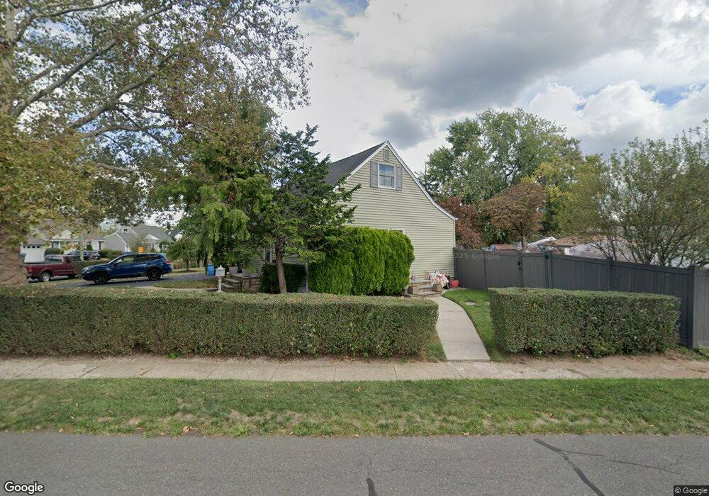
67 Leeds Dr South Plainfield, NJ 07080
Estimated Value: $425,852 - $577,000
--
Bed
--
Bath
--
Sq Ft
9,017
Sq Ft Lot
About This Home
This home is located at 67 Leeds Dr, South Plainfield, NJ 07080 and is currently estimated at $532,213. 67 Leeds Dr is a home located in Middlesex County with nearby schools including South Plainfield High School and Koinonia Academy.
Ownership History
Date
Name
Owned For
Owner Type
Purchase Details
Closed on
Feb 8, 2007
Current Estimated Value
Purchase Details
Closed on
Jun 27, 2002
Sold by
Giordano Charles
Bought by
Melchiorre Robert
Home Financials for this Owner
Home Financials are based on the most recent Mortgage that was taken out on this home.
Original Mortgage
$201,832
Interest Rate
6.92%
Mortgage Type
FHA
Create a Home Valuation Report for This Property
The Home Valuation Report is an in-depth analysis detailing your home's value as well as a comparison with similar homes in the area
Home Values in the Area
Average Home Value in this Area
Purchase History
| Date | Buyer | Sale Price | Title Company |
|---|---|---|---|
| -- | -- | -- | |
| Melchiorre Robert | $205,000 | -- |
Source: Public Records
Mortgage History
| Date | Status | Borrower | Loan Amount |
|---|---|---|---|
| Previous Owner | Melchiorre Robert | $201,832 |
Source: Public Records
Tax History Compared to Growth
Tax History
| Year | Tax Paid | Tax Assessment Tax Assessment Total Assessment is a certain percentage of the fair market value that is determined by local assessors to be the total taxable value of land and additions on the property. | Land | Improvement |
|---|---|---|---|---|
| 2025 | $6,891 | $98,700 | $32,300 | $66,400 |
| 2024 | $6,591 | $98,700 | $32,300 | $66,400 |
| 2023 | $6,591 | $98,700 | $32,300 | $66,400 |
| 2022 | $6,509 | $98,700 | $32,300 | $66,400 |
| 2021 | $6,356 | $98,700 | $32,300 | $66,400 |
| 2020 | $6,264 | $98,700 | $32,300 | $66,400 |
| 2019 | $6,010 | $98,700 | $32,300 | $66,400 |
| 2018 | $5,855 | $98,700 | $32,300 | $66,400 |
| 2017 | $5,780 | $98,700 | $32,300 | $66,400 |
| 2016 | $5,722 | $98,700 | $32,300 | $66,400 |
| 2015 | $5,623 | $98,700 | $32,300 | $66,400 |
| 2014 | $5,461 | $98,700 | $32,300 | $66,400 |
Source: Public Records
Map
Nearby Homes
- 105 Firth St
- 1726 Kenyon Ave
- 1712 Kenyon Ave
- 551 Melrose Ave
- 1210 Maltby Ave
- 1210 Field Ave
- 1400 Kenyon Ave
- 241 Van Fleet Ave
- 1221 Grant Ave Unit 23
- 917 Tompkins Ave
- 260 Merchants Ave
- 533 Edgar Ave
- 127 Remington Ave Unit 31
- 139 Palmer Ave
- 1143 Worth Dr
- 909 Sherman Ave
- 507 Cedarbrook Ave
- 814 Sherman Ave Unit 18
- 916 Sherman Ave
- 480 Sampton Ave