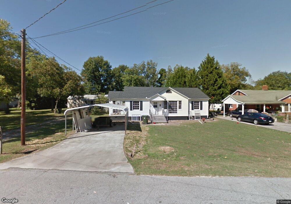
67 Letourneau Dr Toccoa, GA 30577
Estimated Value: $172,000 - $233,000
3
Beds
1
Bath
1,100
Sq Ft
$183/Sq Ft
Est. Value
About This Home
This home is located at 67 Letourneau Dr, Toccoa, GA 30577 and is currently estimated at $200,764, approximately $182 per square foot. 67 Letourneau Dr is a home located in Stephens County with nearby schools including Stephens County High School.
Ownership History
Date
Name
Owned For
Owner Type
Purchase Details
Closed on
Jun 16, 2014
Sold by
Harris James A
Bought by
Singh Kulwinder and Kaur Mandeep
Current Estimated Value
Purchase Details
Closed on
Jul 23, 2013
Sold by
Harris James H
Bought by
Equity Trust Co Custodian Fbo and Vanminos Mike Ira
Purchase Details
Closed on
Jun 11, 2008
Sold by
Not Provided
Bought by
Walters Joy Neal
Create a Home Valuation Report for This Property
The Home Valuation Report is an in-depth analysis detailing your home's value as well as a comparison with similar homes in the area
Purchase History
| Date | Buyer | Sale Price | Title Company |
|---|---|---|---|
| Singh Kulwinder | $82,000 | -- | |
| Equity Trust Co Custodian Fbo | $12,000 | -- | |
| Harris James A | $24,000 | -- | |
| Walters Joy Neal | -- | -- |
Source: Public Records
Tax History
| Year | Tax Paid | Tax Assessment Tax Assessment Total Assessment is a certain percentage of the fair market value that is determined by local assessors to be the total taxable value of land and additions on the property. | Land | Improvement |
|---|---|---|---|---|
| 2025 | $2,058 | $58,993 | $5,469 | $53,524 |
| 2024 | $1,424 | $39,937 | $5,469 | $34,468 |
| 2023 | $1,138 | $37,379 | $5,469 | $31,910 |
| 2022 | $1,054 | $35,421 | $5,469 | $29,952 |
| 2021 | $1,016 | $32,475 | $5,469 | $27,006 |
| 2020 | $1,040 | $32,931 | $5,469 | $27,462 |
| 2019 | $1,044 | $32,931 | $5,469 | $27,462 |
| 2018 | $1,042 | $32,875 | $5,469 | $27,406 |
| 2017 | $1,059 | $32,875 | $5,469 | $27,406 |
| 2016 | $1,042 | $32,874 | $5,468 | $27,405 |
| 2015 | $1,083 | $32,612 | $5,468 | $27,143 |
| 2014 | $324 | $13,435 | $5,469 | $7,966 |
| 2013 | -- | $20,708 | $5,468 | $15,240 |
Source: Public Records
Map
Nearby Homes
- 0 Hwy 17 Alt Unit 10577119
- 41 Norwood Ave
- 45 Hayes St
- 899 E Doyle St
- 59 Sunset Ln
- 100 Forest Ave
- 481 Collins Rd
- 27 Hilltop Ln
- 122 King St
- 148 Moreland Dr
- 30 Moore Ave
- 288 Davis Ave
- 43 Mountain View Dr
- 9 Poplar St
- 29 Mountain View Dr
- 22 Green Hill Place
- 1168 Rosedale St
- 185 Stancil Dr
- 84 Oak Creek Cir
- 0 Stephen Dr Unit 10710969
- 67 Letourneau Dr
- 83 Letourneau Dr
- 63 Letourneau Dr
- 99 Letourneau Dr
- 49 Letourneau Dr
- 74 Highway 123
- 90 Highway 123
- 117 Letourneau Dr
- 106 Hwy 123 Unit 10-14
- 106 Highway 123
- 106 Highway 123
- 116 Norwood Ave
- 46 Highway 123
- 46 U S 123
- 135 Letourneau Dr
- 122 Norwood Ave
- 487 Big a Rd Unit 2,3
- 487 Big a Rd
- 132 Highway 123
- 115 Letourneau Dr
Your Personal Tour Guide
Ask me questions while you tour the home.