67 Loafer Dr Burnsville, NC 28714
Estimated Value: $261,378 - $420,000
3
Beds
1
Bath
1,392
Sq Ft
$236/Sq Ft
Est. Value
About This Home
This home is located at 67 Loafer Dr, Burnsville, NC 28714 and is currently estimated at $328,126, approximately $235 per square foot. 67 Loafer Dr is a home with nearby schools including Mountain Heritage High School.
Ownership History
Date
Name
Owned For
Owner Type
Purchase Details
Closed on
Feb 7, 2005
Sold by
Mccurry Paul Linvel and Mccurry Claudette
Bought by
Mccurry Adam P and Mccurry April D
Current Estimated Value
Home Financials for this Owner
Home Financials are based on the most recent Mortgage that was taken out on this home.
Original Mortgage
$53,000
Interest Rate
4.25%
Mortgage Type
Commercial
Create a Home Valuation Report for This Property
The Home Valuation Report is an in-depth analysis detailing your home's value as well as a comparison with similar homes in the area
Home Values in the Area
Average Home Value in this Area
Purchase History
| Date | Buyer | Sale Price | Title Company |
|---|---|---|---|
| Mccurry Adam P | $75,000 | None Available |
Source: Public Records
Mortgage History
| Date | Status | Borrower | Loan Amount |
|---|---|---|---|
| Closed | Mccurry Adam P | $53,000 |
Source: Public Records
Tax History Compared to Growth
Tax History
| Year | Tax Paid | Tax Assessment Tax Assessment Total Assessment is a certain percentage of the fair market value that is determined by local assessors to be the total taxable value of land and additions on the property. | Land | Improvement |
|---|---|---|---|---|
| 2025 | $1,255 | $224,100 | $145,100 | $79,000 |
| 2024 | $1,255 | $224,100 | $145,100 | $79,000 |
| 2023 | $761 | $118,980 | $67,500 | $51,480 |
| 2022 | $746 | $118,980 | $67,500 | $51,480 |
| 2021 | $761 | $118,980 | $67,500 | $51,480 |
| 2020 | $761 | $118,980 | $67,500 | $51,480 |
| 2019 | $761 | $118,980 | $67,500 | $51,480 |
| 2018 | $761 | $118,980 | $67,500 | $51,480 |
| 2017 | $761 | $118,980 | $67,500 | $51,480 |
| 2016 | $761 | $118,980 | $67,500 | $51,480 |
| 2015 | $816 | $151,090 | $105,000 | $46,090 |
| 2014 | $816 | $151,090 | $105,000 | $46,090 |
Source: Public Records
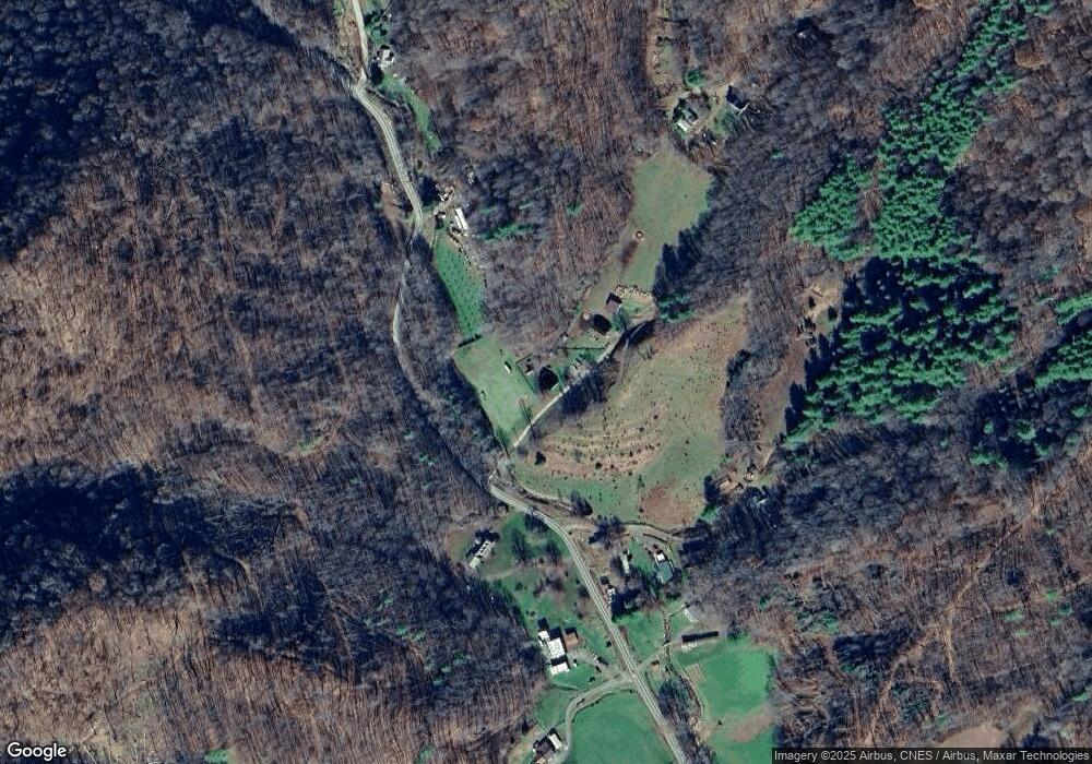
Map
Nearby Homes
- 31 acres Scronce Creek Rd
- 1201 Simms Fork Rd
- 99999 Windswept Dr
- 351 Swiss Loop
- 151 Swiss Loop
- 211 Evergreen Rd
- 707 Lickskillet Rd
- 222 Fox Creek Rd
- 18 Misty Meadows Rd
- 456 Windy Gap Rd
- TBD US 19w Hwy
- 2311 Old Mountain Rd
- 1375 Swing Rd
- 00 Windy Gap Rd Unit Tract B
- 10 Blossom Dr
- Lot 38 Black Bear Run
- 239 Pleasant Valley Rd
- 237 Hickory Nut Ridge Rd Unit 10
- 197 Cherry Knob Dr
- 423 Hardscrabble Rd
- 1395 Schronce Creek Rd
- SR#1395 Schronce Creek Rd
- 1315 Scronce Creek Rd
- 1395 Scronce Creek Rd
- 102 Emerald Ln
- 14 Simms Fork Rd
- 99999A Scronce Creek Rd
- 302 Loafer Dr
- 77 Double Aa Dr
- 372 Loafer Dr
- 5.0 Unrestricted ACR Scronce Creek Rd
- 30+ acres OFF Scronce Creek Rd
- 4.66 Unrestricted AC Scronce Creek Rd
- TBD Scronce Creek Rd
- 118 Simms Fork Rd
- 1106 Scronce Creek Rd
- 1099 Scronce Creek Rd
- 1835 Scronce Creek Rd
- 214 Simms Fork Rd
- 1836 Scronce Creek Rd