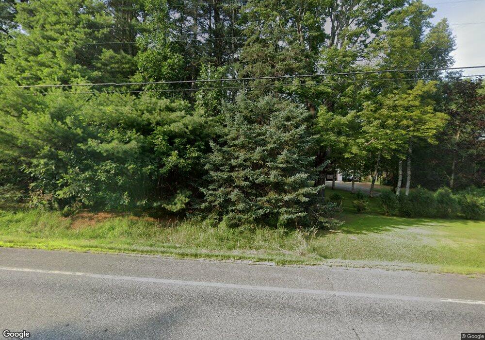
Estimated Value: $322,000 - $456,000
3
Beds
2
Baths
1,800
Sq Ft
$213/Sq Ft
Est. Value
About This Home
This home is located at 67 Main St, Wayne, ME 04284 and is currently estimated at $384,060, approximately $213 per square foot. 67 Main St is a home located in Kennebec County.
Ownership History
Date
Name
Owned For
Owner Type
Purchase Details
Closed on
May 22, 2009
Sold by
Darling Michael A
Bought by
Darling Michael A
Current Estimated Value
Purchase Details
Closed on
Nov 7, 2008
Sold by
Mcnear Tammy J and Mcnear Randall L
Bought by
Darling Michael A
Home Financials for this Owner
Home Financials are based on the most recent Mortgage that was taken out on this home.
Original Mortgage
$170,232
Interest Rate
6.08%
Mortgage Type
Unknown
Create a Home Valuation Report for This Property
The Home Valuation Report is an in-depth analysis detailing your home's value as well as a comparison with similar homes in the area
Home Values in the Area
Average Home Value in this Area
Purchase History
| Date | Buyer | Sale Price | Title Company |
|---|---|---|---|
| Darling Michael A | -- | -- | |
| Darling Michael A | -- | -- |
Source: Public Records
Mortgage History
| Date | Status | Borrower | Loan Amount |
|---|---|---|---|
| Previous Owner | Darling Michael A | $170,232 |
Source: Public Records
Tax History Compared to Growth
Tax History
| Year | Tax Paid | Tax Assessment Tax Assessment Total Assessment is a certain percentage of the fair market value that is determined by local assessors to be the total taxable value of land and additions on the property. | Land | Improvement |
|---|---|---|---|---|
| 2024 | $3,653 | $308,800 | $80,200 | $228,600 |
| 2023 | $2,993 | $145,300 | $32,000 | $113,300 |
| 2022 | $2,742 | $145,300 | $32,000 | $113,300 |
| 2021 | $2,610 | $145,300 | $32,000 | $113,300 |
| 2020 | $1,634 | $145,300 | $32,000 | $113,300 |
| 2019 | $4,339 | $145,300 | $32,000 | $113,300 |
| 2017 | $2,352 | $145,300 | $32,000 | $113,300 |
| 2016 | $2,155 | $145,300 | $32,000 | $113,300 |
| 2015 | $2,117 | $145,300 | $32,000 | $113,300 |
| 2014 | $2,088 | $145,300 | $32,000 | $113,300 |
| 2013 | $2,063 | $145,300 | $32,000 | $113,300 |
Source: Public Records
Map
Nearby Homes
- 57 Deer Hill Rd
- M 6, L 32 Main St
- Lot 39 Main St
- 29 Kents Hill Rd
- 974 Sturtevant Hill Rd
- 46 Squire Ct
- 31 Squire Ct
- 60 Route 41
- 42 Squire Ct
- 286 Pond Rd
- 192 Turkey Ln
- 427 Mount Pisgah Rd
- 104 Memorial Dr
- 135 P Ridge Rd
- 795 Memorial Dr
- 882 Memorial Dr
- 0 U S Highway 202
- 75 Lovejoy Shores Dr
- 11 Highland Heights
- 1477 Main St
