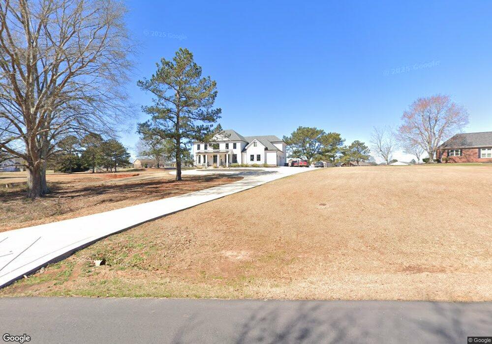
67 Mallard Ln Locust Grove, GA 30248
Estimated Value: $740,000 - $798,000
6
Beds
5
Baths
4,895
Sq Ft
$156/Sq Ft
Est. Value
About This Home
This home is located at 67 Mallard Ln, Locust Grove, GA 30248 and is currently estimated at $765,432, approximately $156 per square foot. 67 Mallard Ln is a home located in Henry County with nearby schools including Bethlehem Elementary School, Luella Middle School, and Luella High School.
Ownership History
Date
Name
Owned For
Owner Type
Purchase Details
Closed on
Jun 21, 2018
Sold by
Thomas Andrew C
Bought by
Carmel Paul Danny and Carmel Paul
Current Estimated Value
Purchase Details
Closed on
Feb 27, 2017
Sold by
Gundermann Paul H
Bought by
Thomas Andrew C
Purchase Details
Closed on
Apr 27, 2006
Sold by
Reed Kay
Bought by
Gundermann Paul H and Gundermann Barbara S
Purchase Details
Closed on
Apr 27, 2001
Sold by
Zacks Prop Inc
Bought by
Reed Kay
Create a Home Valuation Report for This Property
The Home Valuation Report is an in-depth analysis detailing your home's value as well as a comparison with similar homes in the area
Home Values in the Area
Average Home Value in this Area
Purchase History
| Date | Buyer | Sale Price | Title Company |
|---|---|---|---|
| Carmel Paul Danny | $92,000 | -- | |
| Thomas Andrew C | $87,500 | -- | |
| Gundermann Paul H | $162,000 | -- | |
| Reed Kay | $60,000 | -- |
Source: Public Records
Tax History Compared to Growth
Tax History
| Year | Tax Paid | Tax Assessment Tax Assessment Total Assessment is a certain percentage of the fair market value that is determined by local assessors to be the total taxable value of land and additions on the property. | Land | Improvement |
|---|---|---|---|---|
| 2025 | $10,625 | $275,720 | $39,000 | $236,720 |
| 2024 | $10,625 | $295,120 | $39,000 | $256,120 |
| 2023 | $10,221 | $286,680 | $39,000 | $247,680 |
| 2022 | $4,000 | $104,280 | $39,000 | $65,280 |
| 2021 | $1,347 | $35,120 | $35,120 | $0 |
| 2020 | $1,347 | $35,120 | $35,120 | $0 |
| 2019 | $1,393 | $36,320 | $36,320 | $0 |
| 2018 | $1,297 | $33,800 | $33,800 | $0 |
| 2016 | $997 | $26,000 | $26,000 | $0 |
| 2015 | $1,460 | $36,920 | $36,920 | $0 |
| 2014 | $1,153 | $28,800 | $28,800 | $0 |
Source: Public Records
Map
Nearby Homes
- 51 Mallard Ln
- 7 Mallard Ln
- 0 Mallard Ln Unit LOT 51
- 1615 Avery Dr
- 1509 Royce Dr
- Meridian II Plan at Kingston
- Wagener Plan at Kingston
- Lauren II Plan at Kingston
- 512 Dolce Rd
- Wynwood Plan at Kingston
- Clarity Plan at Kingston
- Henry II Plan at Kingston
- Rosemary II Plan at Kingston
- 238 Linford Dr
- 211 Linford Dr
- Rainier Plan at Kingston
- 335 Canvasback Trail
- 1143 Eagles Brooke Dr
- 1405 Landon Dr
- 2234 Golden Eagle Dr
- 78 Mallard Ln
- 77 Mallard Ln
- 57 Mallard Ln
- 95 Mallard Ln
- 100 Mallard Ln
- 47 Mallard Ln
- 54 Mallard Ln
- 105 Mallard Ln
- 117 Teal Ct
- 46 Mallard Ln
- 445 Mallard Ln
- 465 Mallard Ln
- 110 Mallard Ln
- 485 Mallard Ln
- 116 Teal Ct
- 35 Mallard Ln
- 425 Mallard Ln Unit 42 43
- 425 Mallard Ln
- 425 Mallard Ln Unit 42
- 505 Mallard Ln