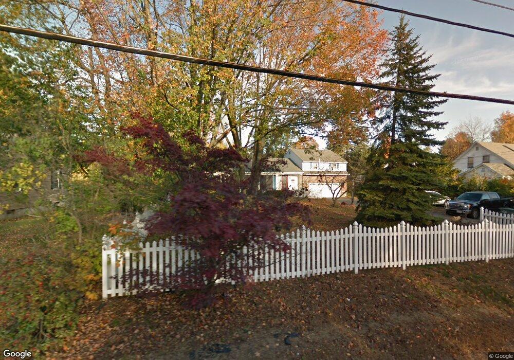
67 Maple Ave Leominster, MA 01453
Estimated Value: $458,000 - $645,000
3
Beds
2
Baths
2,300
Sq Ft
$256/Sq Ft
Est. Value
About This Home
This home is located at 67 Maple Ave, Leominster, MA 01453 and is currently estimated at $588,439, approximately $255 per square foot. 67 Maple Ave is a home located in Worcester County with nearby schools including Leominster High School, St. Leo School, and St. Anna Catholic School.
Ownership History
Date
Name
Owned For
Owner Type
Purchase Details
Closed on
Jul 27, 2001
Sold by
Granite Rt and Woods Marlene B
Bought by
Davis Gary P and Davis Colleen G
Current Estimated Value
Home Financials for this Owner
Home Financials are based on the most recent Mortgage that was taken out on this home.
Original Mortgage
$269,900
Interest Rate
7.18%
Mortgage Type
Purchase Money Mortgage
Purchase Details
Closed on
Apr 30, 1992
Sold by
Deperrio William J and Deperrio Barbara
Bought by
Kartanos Herbert F and Cordio Susan J
Create a Home Valuation Report for This Property
The Home Valuation Report is an in-depth analysis detailing your home's value as well as a comparison with similar homes in the area
Home Values in the Area
Average Home Value in this Area
Purchase History
| Date | Buyer | Sale Price | Title Company |
|---|---|---|---|
| Davis Gary P | $269,900 | -- | |
| Kartanos Herbert F | $150,000 | -- |
Source: Public Records
Mortgage History
| Date | Status | Borrower | Loan Amount |
|---|---|---|---|
| Closed | Kartanos Herbert F | $225,000 | |
| Closed | Kartanos Herbert F | $269,900 | |
| Previous Owner | Kartanos Herbert F | $106,000 | |
| Previous Owner | Kartanos Herbert F | $104,500 |
Source: Public Records
Tax History Compared to Growth
Tax History
| Year | Tax Paid | Tax Assessment Tax Assessment Total Assessment is a certain percentage of the fair market value that is determined by local assessors to be the total taxable value of land and additions on the property. | Land | Improvement |
|---|---|---|---|---|
| 2025 | $7,927 | $565,000 | $150,500 | $414,500 |
| 2024 | $7,606 | $524,200 | $143,300 | $380,900 |
| 2023 | $7,417 | $477,300 | $124,700 | $352,600 |
| 2022 | $7,166 | $432,700 | $108,500 | $324,200 |
| 2021 | $7,326 | $404,100 | $84,500 | $319,600 |
| 2020 | $7,124 | $396,200 | $84,500 | $311,700 |
| 2019 | $6,817 | $367,700 | $80,500 | $287,200 |
| 2018 | $6,638 | $343,400 | $78,100 | $265,300 |
| 2017 | $5,856 | $296,800 | $73,000 | $223,800 |
| 2016 | $5,747 | $293,500 | $73,000 | $220,500 |
| 2015 | $5,859 | $301,400 | $73,000 | $228,400 |
| 2014 | $4,851 | $256,800 | $77,200 | $179,600 |
Source: Public Records
Map
Nearby Homes