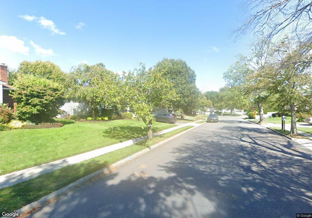
67 Maplewood Dr Plainview, NY 11803
Estimated Value: $970,999 - $1,046,000
3
Beds
3
Baths
1,377
Sq Ft
$732/Sq Ft
Est. Value
About This Home
This home is located at 67 Maplewood Dr, Plainview, NY 11803 and is currently estimated at $1,008,500, approximately $732 per square foot. 67 Maplewood Dr is a home located in Nassau County with nearby schools including Pasadena Elementary School, Plainview Old Bethpage Middle School, and Plainview-Old Bethpage John F. Kennedy High School.
Ownership History
Date
Name
Owned For
Owner Type
Purchase Details
Closed on
Jun 24, 2013
Sold by
Rubin Michael D and Melamed Rubin Caren
Bought by
Baum Michael S and Baum Robyn A
Current Estimated Value
Home Financials for this Owner
Home Financials are based on the most recent Mortgage that was taken out on this home.
Original Mortgage
$417,000
Outstanding Balance
$297,947
Interest Rate
3.59%
Estimated Equity
$710,553
Purchase Details
Closed on
Aug 4, 2006
Sold by
Kaufman Stuart
Bought by
Rubin Michael
Create a Home Valuation Report for This Property
The Home Valuation Report is an in-depth analysis detailing your home's value as well as a comparison with similar homes in the area
Home Values in the Area
Average Home Value in this Area
Purchase History
| Date | Buyer | Sale Price | Title Company |
|---|---|---|---|
| Baum Michael S | $585,000 | -- | |
| Rubin Michael | $587,100 | -- |
Source: Public Records
Mortgage History
| Date | Status | Borrower | Loan Amount |
|---|---|---|---|
| Open | Baum Michael S | $417,000 |
Source: Public Records
Tax History
| Year | Tax Paid | Tax Assessment Tax Assessment Total Assessment is a certain percentage of the fair market value that is determined by local assessors to be the total taxable value of land and additions on the property. | Land | Improvement |
|---|---|---|---|---|
| 2025 | $17,614 | $593 | $284 | $309 |
| 2024 | $5,167 | $615 | $295 | $320 |
Source: Public Records
Map
Nearby Homes
- 65 Maplewood Dr
- 70 Shelter Hill Rd
- 68 Shelter Hill Rd
- 71 Maplewood Dr
- 68 Maplewood Dr
- 66 Maplewood Dr
- 63 Maplewood Dr
- 66 Shelter Hill Rd
- 64 Maplewood Dr
- 51 Stauber Dr
- 73 Maplewood Dr
- 61 Maplewood Dr
- 64 Shelter Hill Rd
- 60 Maplewood Dr
- 47 Spector Ln
- 45 Spector Ln
- 69 Shelter Hill Rd
- 67 Shelter Hill Rd
- 71 Shelter Hill Rd
- 43 Spector Ln
Your Personal Tour Guide
Ask me questions while you tour the home.