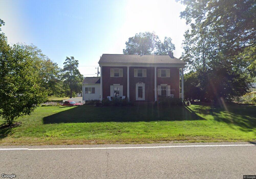
67 Marlboro Rd Southborough, MA 01772
Estimated Value: $774,437 - $840,000
3
Beds
3
Baths
2,080
Sq Ft
$386/Sq Ft
Est. Value
About This Home
This home is located at 67 Marlboro Rd, Southborough, MA 01772 and is currently estimated at $802,609, approximately $385 per square foot. 67 Marlboro Rd is a home located in Worcester County with nearby schools including Mary E Finn School, Albert S. Woodward Memorial School, and Margaret A. Neary School.
Ownership History
Date
Name
Owned For
Owner Type
Purchase Details
Closed on
Nov 13, 2009
Sold by
Cincotta Richard A and Cincotta Sandra R
Bought by
Crockwell Eric G and Crockwell Angie L
Current Estimated Value
Home Financials for this Owner
Home Financials are based on the most recent Mortgage that was taken out on this home.
Original Mortgage
$291,200
Outstanding Balance
$189,948
Interest Rate
4.98%
Mortgage Type
Purchase Money Mortgage
Estimated Equity
$612,661
Create a Home Valuation Report for This Property
The Home Valuation Report is an in-depth analysis detailing your home's value as well as a comparison with similar homes in the area
Home Values in the Area
Average Home Value in this Area
Purchase History
| Date | Buyer | Sale Price | Title Company |
|---|---|---|---|
| Crockwell Eric G | $364,000 | -- | |
| Crockwell Eric G | $364,000 | -- |
Source: Public Records
Mortgage History
| Date | Status | Borrower | Loan Amount |
|---|---|---|---|
| Open | Crockwell Eric G | $291,200 | |
| Closed | Crockwell Eric G | $291,200 | |
| Previous Owner | Crockwell Eric G | $134,000 | |
| Previous Owner | Crockwell Eric G | $45,000 |
Source: Public Records
Tax History Compared to Growth
Tax History
| Year | Tax Paid | Tax Assessment Tax Assessment Total Assessment is a certain percentage of the fair market value that is determined by local assessors to be the total taxable value of land and additions on the property. | Land | Improvement |
|---|---|---|---|---|
| 2025 | $9,374 | $678,800 | $264,700 | $414,100 |
| 2024 | $8,927 | $641,800 | $264,700 | $377,100 |
| 2023 | $8,469 | $573,800 | $245,700 | $328,100 |
| 2022 | $7,886 | $484,400 | $217,800 | $266,600 |
| 2021 | $7,518 | $463,800 | $201,700 | $262,100 |
| 2020 | $7,205 | $432,500 | $186,600 | $245,900 |
| 2019 | $6,934 | $414,200 | $174,800 | $239,400 |
| 2018 | $6,495 | $402,400 | $170,000 | $232,400 |
| 2017 | $6,441 | $393,200 | $170,000 | $223,200 |
| 2016 | $6,703 | $423,700 | $169,500 | $254,200 |
| 2015 | $6,501 | $405,800 | $153,700 | $252,100 |
Source: Public Records
Map
Nearby Homes
- 150 Framingham Rd
- lot 1 Sears Rd
- Lot 2 Quinn Rd
- 56 Sears Rd
- 58 Framingham Rd
- 19 Maplecrest Dr
- 36 E Main St
- 25 Park St
- 105 Fisher Rd
- 237 Brigham St
- 58 Walker St
- 68 River St
- 7 John St
- 20 Clifford Rd
- 9 John Matthews Rd
- 14 Lovers Ln
- 181 Morrissey Rd
- 1 Carriage Hill Cir Unit 1
- 15 Lovers Ln
- 00 Plymouth St