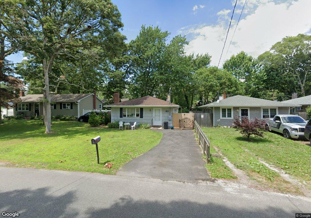
67 Mastic Blvd Mastic, NY 11950
Estimated Value: $389,833 - $463,000
3
Beds
1
Bath
1,050
Sq Ft
$398/Sq Ft
Est. Value
About This Home
This home is located at 67 Mastic Blvd, Mastic, NY 11950 and is currently estimated at $417,458, approximately $397 per square foot. 67 Mastic Blvd is a home located in Suffolk County with nearby schools including Moriches Elementary School, William Floyd Middle School, and William Floyd High School.
Ownership History
Date
Name
Owned For
Owner Type
Purchase Details
Closed on
Nov 12, 2024
Sold by
Federation Organz Ny Inc
Bought by
Risewell Cmnty Svcs Inc
Current Estimated Value
Purchase Details
Closed on
May 31, 2007
Sold by
Kadlec Robert A
Bought by
Federation Of Organizatio Ns For The Nys Ment
Purchase Details
Closed on
Apr 24, 1997
Sold by
Richman Morton and Richman Helene
Bought by
Kadlec Robert A
Create a Home Valuation Report for This Property
The Home Valuation Report is an in-depth analysis detailing your home's value as well as a comparison with similar homes in the area
Home Values in the Area
Average Home Value in this Area
Purchase History
| Date | Buyer | Sale Price | Title Company |
|---|---|---|---|
| Risewell Cmnty Svcs Inc | -- | First American Title | |
| Risewell Cmnty Svcs Inc | -- | First American Title | |
| Federation Of Organizatio Ns For The Nys Ment | $229,500 | James Mcmahon | |
| Federation Of Organizatio Ns For The Nys Ment | $229,500 | James Mcmahon | |
| Kadlec Robert A | $46,000 | Fidelity National Title Ins | |
| Kadlec Robert A | $46,000 | Fidelity National Title Ins |
Source: Public Records
Tax History
| Year | Tax Paid | Tax Assessment Tax Assessment Total Assessment is a certain percentage of the fair market value that is determined by local assessors to be the total taxable value of land and additions on the property. | Land | Improvement |
|---|---|---|---|---|
| 2024 | -- | $1,575 | $80 | $1,495 |
| 2023 | -- | $1,575 | $80 | $1,495 |
| 2022 | $0 | $1,575 | $80 | $1,495 |
| 2021 | $0 | $1,575 | $80 | $1,495 |
| 2020 | $0 | $1,575 | $80 | $1,495 |
| 2019 | $0 | $0 | $0 | $0 |
| 2018 | $0 | $1,575 | $80 | $1,495 |
| 2017 | -- | $1,575 | $80 | $1,495 |
| 2016 | -- | $1,575 | $80 | $1,495 |
| 2015 | -- | $1,575 | $80 | $1,495 |
| 2014 | -- | $1,575 | $80 | $1,495 |
Source: Public Records
Map
Nearby Homes
- 66 Wood Ave
- 19 Hawthorne St
- 0 Bedford Ave Unit KEYL3488158
- 1287 Montauk Hwy
- 1397 Montauk Hwy
- 118 Moriches Ave
- 92 Southaven Ave
- 111 A Wood Ave
- 33 Wood Ave
- 0 Carlton Ave Unit KEY853013
- 13 Gores Dr
- 1467 Montauk Hwy
- 25 Gores Dr
- 45O Oakland Ave
- N/C First Place
- 8 Paul Dr
- 8 George Dr
- 120 Somerset Ave
- 3 Lee Place
- 145A Hampton Ave
Your Personal Tour Guide
Ask me questions while you tour the home.