67 Mattson Ln Blue Hill, ME 04614
Estimated Value: $439,000 - $471,000
--
Bed
--
Bath
--
Sq Ft
2.5
Acres
About This Home
This home is located at 67 Mattson Ln, Blue Hill, ME 04614 and is currently estimated at $452,021. 67 Mattson Ln is a home located in Hancock County with nearby schools including Blue Hill Consolidated School, The Bay School, and George Stevens Academy.
Ownership History
Date
Name
Owned For
Owner Type
Purchase Details
Closed on
Jun 6, 2019
Sold by
Stearns Sheryl C
Bought by
Stearns David W
Current Estimated Value
Home Financials for this Owner
Home Financials are based on the most recent Mortgage that was taken out on this home.
Original Mortgage
$200,000
Outstanding Balance
$175,849
Interest Rate
4.1%
Mortgage Type
Stand Alone Refi Refinance Of Original Loan
Estimated Equity
$276,172
Create a Home Valuation Report for This Property
The Home Valuation Report is an in-depth analysis detailing your home's value as well as a comparison with similar homes in the area
Home Values in the Area
Average Home Value in this Area
Purchase History
| Date | Buyer | Sale Price | Title Company |
|---|---|---|---|
| Stearns David W | -- | -- | |
| Stearns David W | -- | -- |
Source: Public Records
Mortgage History
| Date | Status | Borrower | Loan Amount |
|---|---|---|---|
| Open | Stearns David W | $200,000 | |
| Closed | Stearns David W | $200,000 |
Source: Public Records
Tax History Compared to Growth
Tax History
| Year | Tax Paid | Tax Assessment Tax Assessment Total Assessment is a certain percentage of the fair market value that is determined by local assessors to be the total taxable value of land and additions on the property. | Land | Improvement |
|---|---|---|---|---|
| 2024 | $3,798 | $434,000 | $114,500 | $319,500 |
| 2023 | $2,804 | $208,300 | $47,200 | $161,100 |
| 2022 | $2,625 | $208,300 | $47,200 | $161,100 |
| 2021 | $2,510 | $208,300 | $47,200 | $161,100 |
| 2020 | $2,406 | $208,300 | $47,200 | $161,100 |
| 2019 | $2,252 | $208,300 | $47,200 | $161,100 |
| 2018 | $2,083 | $208,300 | $47,200 | $161,100 |
| 2017 | $2,083 | $208,300 | $47,200 | $161,100 |
| 2016 | $2,021 | $208,300 | $47,200 | $161,100 |
| 2015 | $2,083 | $208,300 | $47,200 | $161,100 |
| 2014 | $1,833 | $208,300 | $47,200 | $161,100 |
| 2013 | $1,750 | $208,300 | $47,200 | $161,100 |
Source: Public Records
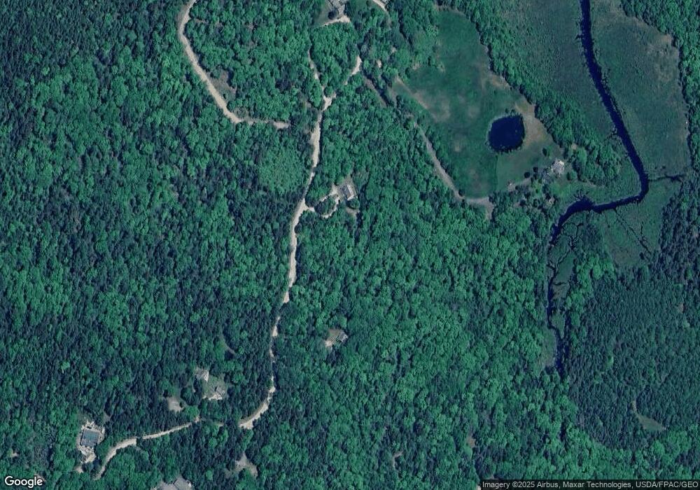
Map
Nearby Homes
- 89 Mattson Ln
- 634 Pleasant St
- M27 L69A Beech Hill Rd
- 8 Maslows Square Unit 8
- 12 Maslow Square Unit 12
- 10 Maslows Square Unit 10
- 8 Beech Hill Rd
- 125 Ellsworth Rd
- 25 Southside Ln
- 141 South St
- 341 Ellsworth Rd
- 00 Pine Hill Ln
- 0 Pine Hill Ln
- M34 L14A Hinckley Ridge
- 20 Turkey Farm Rd
- 12 Turkey Farm Rd
- 232 South St
- 020-078 Blue Hill
- 18-B Back Pasture Ln
- 000 Grindleville Rd
- 112 Mattson Ln
- 0 Mattson (Map 35 Lot 7-I) Ln Unit 1505520
- 156 Mattson Ln
- 44 Mattson Ln
- 42 Mattson Ln
- 49 Mattson Ln
- 29 Mattson Ln
- 183 Hinckley Ridge Rd
- 45 Wights Ln Unit A
- 45A Wights Ln
- 45 Touch & Go Ln
- 48 Woodward Ln
- 65 Woodward Ln
- 67 Touch & Go Ln
- 157 Hinckley Ridge Rd
- 10 Mattson Ln
- 21 Dc Ln
- 159 Hinckley Ridge Rd
- 171 Hinckley Ridge Rd
- 000 Hinckley Ridge Rd