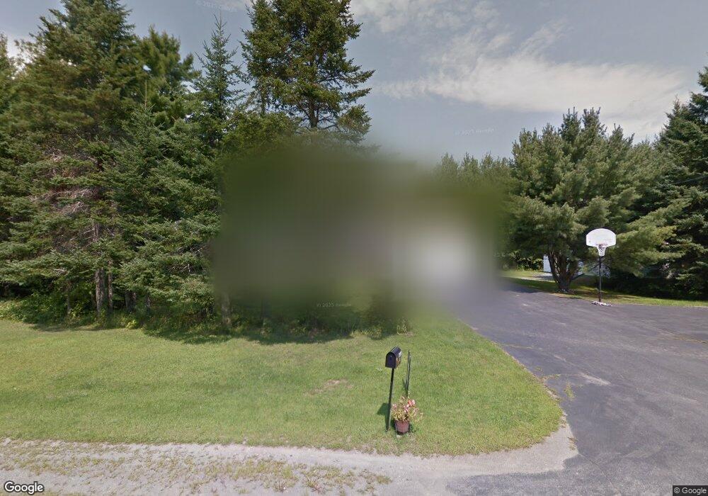
67 Mcclellan Dr Glenburn, ME 04401
Estimated Value: $399,000 - $495,000
4
Beds
3
Baths
2,716
Sq Ft
$167/Sq Ft
Est. Value
About This Home
This home is located at 67 Mcclellan Dr, Glenburn, ME 04401 and is currently estimated at $454,663, approximately $167 per square foot. 67 Mcclellan Dr is a home located in Penobscot County with nearby schools including Glenburn Elementary School, Orono Middle School, and Orono High School.
Ownership History
Date
Name
Owned For
Owner Type
Purchase Details
Closed on
Nov 3, 2023
Sold by
Munster Michael N
Bought by
Handzel Benjamin and Handzel Denise
Current Estimated Value
Home Financials for this Owner
Home Financials are based on the most recent Mortgage that was taken out on this home.
Original Mortgage
$270,600
Outstanding Balance
$265,104
Interest Rate
7.19%
Mortgage Type
Purchase Money Mortgage
Estimated Equity
$189,559
Purchase Details
Closed on
May 24, 2016
Sold by
Lyford Scott A
Bought by
Munster Michael N and Munster Michael N
Home Financials for this Owner
Home Financials are based on the most recent Mortgage that was taken out on this home.
Original Mortgage
$237,616
Interest Rate
3.59%
Mortgage Type
FHA
Purchase Details
Closed on
Jun 16, 2009
Sold by
Dunn Howard and Dunn Marcia L
Bought by
Lyford Scott A
Home Financials for this Owner
Home Financials are based on the most recent Mortgage that was taken out on this home.
Original Mortgage
$246,400
Interest Rate
4.82%
Mortgage Type
Commercial
Create a Home Valuation Report for This Property
The Home Valuation Report is an in-depth analysis detailing your home's value as well as a comparison with similar homes in the area
Home Values in the Area
Average Home Value in this Area
Purchase History
| Date | Buyer | Sale Price | Title Company |
|---|---|---|---|
| Handzel Benjamin | $410,000 | None Available | |
| Munster Michael N | -- | -- | |
| Lyford Scott A | -- | -- |
Source: Public Records
Mortgage History
| Date | Status | Borrower | Loan Amount |
|---|---|---|---|
| Open | Handzel Benjamin | $270,600 | |
| Previous Owner | Munster Michael N | $237,616 | |
| Previous Owner | Lyford Scott A | $246,400 | |
| Previous Owner | Lyford Scott A | $226,000 | |
| Previous Owner | Lyford Scott A | $150,000 |
Source: Public Records
Tax History
| Year | Tax Paid | Tax Assessment Tax Assessment Total Assessment is a certain percentage of the fair market value that is determined by local assessors to be the total taxable value of land and additions on the property. | Land | Improvement |
|---|---|---|---|---|
| 2024 | $4,298 | $311,450 | $47,490 | $263,960 |
| 2023 | $4,329 | $311,450 | $47,490 | $263,960 |
| 2022 | $4,347 | $259,550 | $39,580 | $219,970 |
| 2021 | $4,672 | $259,550 | $39,580 | $219,970 |
| 2020 | $4,724 | $259,550 | $39,580 | $219,970 |
| 2019 | $4,737 | $259,550 | $39,580 | $219,970 |
| 2018 | $4,802 | $259,550 | $39,580 | $219,970 |
| 2017 | $5,272 | $248,660 | $29,260 | $219,400 |
| 2016 | $5,024 | $248,700 | $29,300 | $219,400 |
| 2015 | $4,887 | $248,700 | $29,300 | $219,400 |
| 2014 | $4,626 | $248,700 | $29,300 | $219,400 |
| 2012 | $4,763 | $248,700 | $29,300 | $219,400 |
Source: Public Records
Map
Nearby Homes
- 73 Jillian Way
- 18 Jillian Way
- 2485 Broadway
- 650 Hudson Rd
- 2509 Essex St
- 153 Finson Rd
- 175 (#12) Hornbeam Way
- 165 (#10) Hornbeam Way
- 80 (#7) Hornbeam Way
- 30 (#3) Hornbeam Way
- 25 (#4) Hornbeam Way
- 15 (#2) Hornbeam Way
- 1 (#1) Hornbeam Way
- 0 Gould Rd
- 45 (#16) Moonbeam Way
- 165 (#13) Pine Ledge Rd
- 145 (#12) Pine Ledge Rd
- 75 (#6) Pine Ledge Rd
- 95 (#8) Pine Ledge Rd
- 125 (#10) Pine Ledge Rd
Your Personal Tour Guide
Ask me questions while you tour the home.