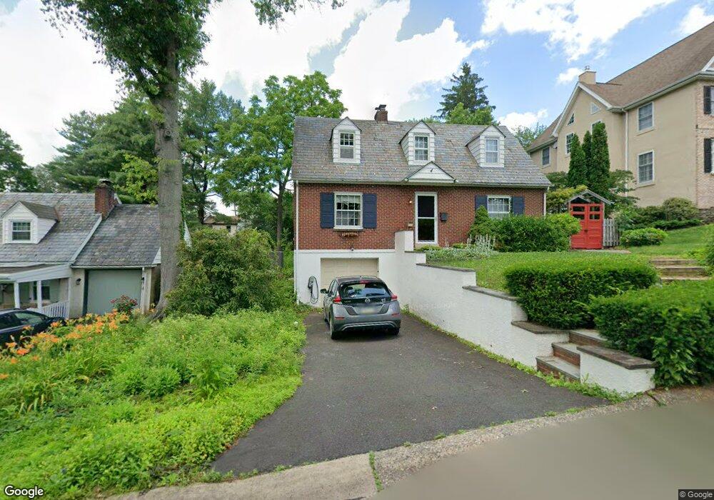
67 Meadow Ln Doylestown, PA 18901
Estimated Value: $794,000 - $1,151,000
4
Beds
2
Baths
2,335
Sq Ft
$398/Sq Ft
Est. Value
About This Home
This home is located at 67 Meadow Ln, Doylestown, PA 18901 and is currently estimated at $929,437, approximately $398 per square foot. 67 Meadow Ln is a home located in Bucks County with nearby schools including Linden El School, Lenape Middle School, and Central Bucks High School-West.
Ownership History
Date
Name
Owned For
Owner Type
Purchase Details
Closed on
Jul 6, 2001
Sold by
Munshower John G
Bought by
Defazio Deborah L
Current Estimated Value
Home Financials for this Owner
Home Financials are based on the most recent Mortgage that was taken out on this home.
Original Mortgage
$325,000
Interest Rate
7.06%
Purchase Details
Closed on
Jan 4, 1960
Bought by
Gardy Nancy Louise
Create a Home Valuation Report for This Property
The Home Valuation Report is an in-depth analysis detailing your home's value as well as a comparison with similar homes in the area
Home Values in the Area
Average Home Value in this Area
Purchase History
| Date | Buyer | Sale Price | Title Company |
|---|---|---|---|
| Defazio Deborah L | $407,000 | -- | |
| Gardy Nancy Louise | -- | -- |
Source: Public Records
Mortgage History
| Date | Status | Borrower | Loan Amount |
|---|---|---|---|
| Previous Owner | Defazio Deborah L | $325,000 |
Source: Public Records
Tax History
| Year | Tax Paid | Tax Assessment Tax Assessment Total Assessment is a certain percentage of the fair market value that is determined by local assessors to be the total taxable value of land and additions on the property. | Land | Improvement |
|---|---|---|---|---|
| 2025 | $5,603 | $31,100 | $4,200 | $26,900 |
| 2024 | $5,603 | $31,100 | $4,200 | $26,900 |
| 2023 | $5,338 | $31,100 | $4,200 | $26,900 |
| 2022 | $5,264 | $31,100 | $4,200 | $26,900 |
| 2021 | $5,206 | $31,100 | $4,200 | $26,900 |
| 2020 | $5,149 | $31,100 | $4,200 | $26,900 |
| 2019 | $5,092 | $31,100 | $4,200 | $26,900 |
| 2018 | $5,030 | $31,100 | $4,200 | $26,900 |
| 2017 | $4,977 | $31,100 | $4,200 | $26,900 |
| 2016 | -- | $31,100 | $4,200 | $26,900 |
| 2015 | -- | $31,100 | $4,200 | $26,900 |
| 2014 | -- | $31,100 | $4,200 | $26,900 |
Source: Public Records
Map
Nearby Homes
- 236 Green St
- 110 E Ashland St
- 69 E Oakland Ave
- 1 Steeplechase Dr
- 195 Lafayette St
- 146 E Court St
- 169 N Main St
- 400 W Court St
- 150 Selner Ln
- 78 Tower Hill Rd
- 102 Clear Springs Ct
- 215 N Franklin St
- 112 Steeplechase Dr
- 11-13 Aspen Way Unit 1113
- 9 Mill Creek Dr
- 2401 Lower State Rd Unit 102
- 9 Maple Ln
- 45 Springs Dr
- 34 Houk Rd
- 45 Latham Ct Unit 45
Your Personal Tour Guide
Ask me questions while you tour the home.