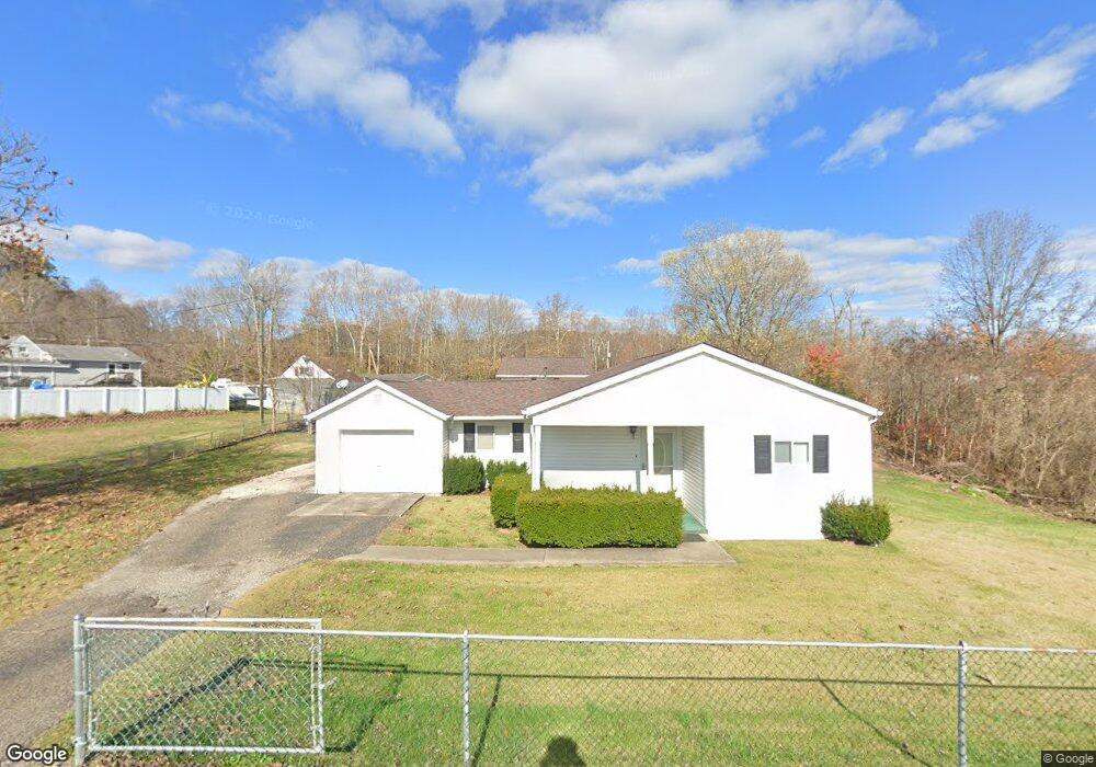
67 Merwin Ave Portsmouth, OH 45662
Estimated Value: $95,000 - $159,000
2
Beds
1
Bath
804
Sq Ft
$165/Sq Ft
Est. Value
About This Home
This home is located at 67 Merwin Ave, Portsmouth, OH 45662 and is currently estimated at $132,508, approximately $164 per square foot. 67 Merwin Ave is a home located in Scioto County with nearby schools including Minford Middle School, Sciotoville Elementary Academy, and Sciotoville Community School.
Ownership History
Date
Name
Owned For
Owner Type
Purchase Details
Closed on
May 27, 2019
Sold by
Preast Michael E and Preast Mary L
Bought by
Preast Christopher
Current Estimated Value
Purchase Details
Closed on
Nov 28, 2017
Sold by
Preast Larry E and Preast Jacqueline D
Bought by
Preast Michael E and Preast Mary L
Purchase Details
Closed on
Oct 18, 2017
Sold by
Preast Thomas Dale
Bought by
Preast Larry E
Purchase Details
Closed on
Jun 29, 2016
Sold by
Preast Margaret L
Bought by
Preast Thomas Dale
Purchase Details
Closed on
Jan 1, 1987
Bought by
Preast Tom D + Margaret
Create a Home Valuation Report for This Property
The Home Valuation Report is an in-depth analysis detailing your home's value as well as a comparison with similar homes in the area
Home Values in the Area
Average Home Value in this Area
Purchase History
| Date | Buyer | Sale Price | Title Company |
|---|---|---|---|
| Preast Christopher | -- | None Available | |
| Preast Michael E | -- | -- | |
| Preast Larry E | -- | -- | |
| Preast Thomas Dale | -- | -- | |
| Preast Tom D + Margaret | -- | -- |
Source: Public Records
Tax History Compared to Growth
Tax History
| Year | Tax Paid | Tax Assessment Tax Assessment Total Assessment is a certain percentage of the fair market value that is determined by local assessors to be the total taxable value of land and additions on the property. | Land | Improvement |
|---|---|---|---|---|
| 2024 | $954 | $22,900 | $2,210 | $20,690 |
| 2023 | $954 | $22,900 | $2,210 | $20,690 |
| 2022 | $934 | $22,900 | $2,210 | $20,690 |
| 2021 | $821 | $20,090 | $2,020 | $18,070 |
| 2020 | $821 | $20,090 | $2,020 | $18,070 |
| 2019 | $812 | $20,110 | $3,170 | $16,940 |
| 2018 | $835 | $20,110 | $3,170 | $16,940 |
| 2017 | $458 | $19,950 | $3,170 | $16,780 |
| 2016 | $233 | $18,150 | $1,870 | $16,280 |
| 2015 | $388 | $18,150 | $1,870 | $16,280 |
| 2013 | $353 | $18,150 | $1,870 | $16,280 |
Source: Public Records
Map
Nearby Homes
- 303 Wanda Rd
- 0 Stout Hollow Rd
- 0 Camp St
- 6204 Harding Ave
- 121 N Preston St
- 6989 Ohio 335
- 0 Dutch Ridge Rd
- 1220 Mayo St
- 1235 Mayo St
- 168 Mathiott St
- 1292 Swauger Valley Rd
- 5820 Farney Ave
- 5526 Auburn Ave
- 5802 Farney Ave
- 1720 Swauger Valley Rd
- 616 Sycamore St
- 573 Birch Hollow Rd
- 7204 Ohio River Rd
- 7498 Canterbury Rd
- 1987 Swauger Valley Rd
- 28 Merwin Ave
- 29 Merwin Ave
- 39 Merwin Ave
- 54 Merwin Ave
- 2400 State Route 335
- 2382 State Route 335
- 18 Bennett St
- 2382 Ohio 335 Unit 4
- 9 Bennett St
- 11 Bennett St
- 11 Bennett St
- 11 Bennett St
- 11 Bennett St
- 2342 State Route 335
- 30 Merwin Ave
- 2385 State Route 335
- 2442 State Route 335
- 129 Sheperd Ave
- 129 Sheperd Ave
- 22 Merwin Ave