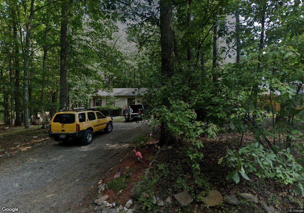
67 Mountain Dew Ln Harpers Ferry, WV 25425
Estimated Value: $315,357 - $339,000
3
Beds
2
Baths
1,280
Sq Ft
$254/Sq Ft
Est. Value
About This Home
This home is located at 67 Mountain Dew Ln, Harpers Ferry, WV 25425 and is currently estimated at $325,589, approximately $254 per square foot. 67 Mountain Dew Ln is a home located in Jefferson County with nearby schools including Blue Ridge Elementary School, Harpers Ferry Middle School, and Washington High School.
Ownership History
Date
Name
Owned For
Owner Type
Purchase Details
Closed on
Mar 18, 2025
Sold by
Murray Michael J
Bought by
Beam Rhonda Lynne
Current Estimated Value
Purchase Details
Closed on
Feb 14, 2008
Sold by
Murray Susan L
Bought by
Murray Michael J
Home Financials for this Owner
Home Financials are based on the most recent Mortgage that was taken out on this home.
Original Mortgage
$105,000
Interest Rate
5.8%
Mortgage Type
New Conventional
Create a Home Valuation Report for This Property
The Home Valuation Report is an in-depth analysis detailing your home's value as well as a comparison with similar homes in the area
Home Values in the Area
Average Home Value in this Area
Purchase History
| Date | Buyer | Sale Price | Title Company |
|---|---|---|---|
| Beam Rhonda Lynne | -- | None Listed On Document | |
| Beam Rhonda Lynne | -- | None Listed On Document | |
| Murray Michael J | -- | None Available |
Source: Public Records
Mortgage History
| Date | Status | Borrower | Loan Amount |
|---|---|---|---|
| Previous Owner | Murray Michael J | $105,000 |
Source: Public Records
Tax History Compared to Growth
Tax History
| Year | Tax Paid | Tax Assessment Tax Assessment Total Assessment is a certain percentage of the fair market value that is determined by local assessors to be the total taxable value of land and additions on the property. | Land | Improvement |
|---|---|---|---|---|
| 2024 | $1,210 | $123,400 | $48,800 | $74,600 |
| 2023 | $1,208 | $123,400 | $48,800 | $74,600 |
| 2022 | $912 | $96,500 | $31,300 | $65,200 |
| 2021 | $759 | $82,500 | $31,300 | $51,200 |
| 2020 | $719 | $83,200 | $31,300 | $51,900 |
| 2019 | $740 | $83,800 | $31,300 | $52,500 |
| 2018 | $855 | $72,800 | $21,500 | $51,300 |
| 2017 | $818 | $69,600 | $17,600 | $52,000 |
| 2016 | $811 | $69,200 | $16,600 | $52,600 |
| 2015 | $783 | $66,500 | $16,600 | $49,900 |
| 2014 | $698 | $59,400 | $16,600 | $42,800 |
Source: Public Records
Map
Nearby Homes
- 271 Moonshine Ln
- 65 Alta Vista Dr
- #2 Highview Rd
- #1 Highview Rd
- 326 Lower Clubhouse Dr
- 22 Berry Ln
- 26 Shore Ln
- 413 Highview Rd
- 307 Johnnycake Ln
- 832 Shenandoah River Dr
- 237 Oakridge Dr
- 157 Oakridge Dr
- 133 Beechwood Ln
- 81 Shannondale Rd
- 622 Shannondale Rd
- 366 Huckleberry Ln
- 392 Gray Fox Rd
- 78 Tulip Ct
- Lot 7 Sunset Ln
- Lot 6 Sunset Ln
- 89 Mountain Dew Ln
- 252 White Mule Ln
- 111 Mountain Dew Ln
- 29 Mountain Dew Ln
- 68 Mountain Dew Ln
- 7 Mountain Dew Ln
- 135 Mountain Dew Ln
- 229 White Mule Ln
- 12 Mountain Dew Ln
- 255 White Mule Ln
- 167 Mountain Dew Ln
- 311 White Mule Ln
- 311 White Mule Ln
- 344 White Mule Ln
- 252 Applejack Ln
- 252 Apple Jack Ln
- 250 Moonshine Ln
- 0 Applejack Ln
- 184 Apple Jack Ln
- 185 Mountain Dew Ln