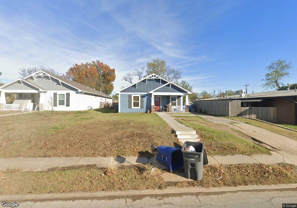
67 N Utica Ave Tulsa, OK 74110
Kendall-Whittier NeighborhoodEstimated Value: $111,000 - $200,000
--
Bed
--
Bath
1,849
Sq Ft
$83/Sq Ft
Est. Value
About This Home
This home is located at 67 N Utica Ave, Tulsa, OK 74110 and is currently estimated at $154,109, approximately $83 per square foot. 67 N Utica Ave is a home with nearby schools including Sequoyah Elementary School, Monroe Demonstration Academy, and McLain High School of Science and Technology.
Ownership History
Date
Name
Owned For
Owner Type
Purchase Details
Closed on
Jun 12, 2020
Sold by
Tulsa Habitat For Humanity Inc
Bought by
Green Ashley K and Collins Benjamin E
Current Estimated Value
Home Financials for this Owner
Home Financials are based on the most recent Mortgage that was taken out on this home.
Original Mortgage
$131,559
Outstanding Balance
$116,617
Interest Rate
3.2%
Mortgage Type
New Conventional
Estimated Equity
$37,492
Purchase Details
Closed on
Oct 16, 2018
Sold by
Barnard Randy and Banard Randy
Bought by
Tulsa Habitat For Humanity Inc
Create a Home Valuation Report for This Property
The Home Valuation Report is an in-depth analysis detailing your home's value as well as a comparison with similar homes in the area
Home Values in the Area
Average Home Value in this Area
Purchase History
| Date | Buyer | Sale Price | Title Company |
|---|---|---|---|
| Green Ashley K | $140,000 | Community Title Services Llc | |
| Tulsa Habitat For Humanity Inc | $13,000 | Tulsa Abstract & Title Co |
Source: Public Records
Mortgage History
| Date | Status | Borrower | Loan Amount |
|---|---|---|---|
| Open | Green Ashley K | $131,559 |
Source: Public Records
Tax History Compared to Growth
Tax History
| Year | Tax Paid | Tax Assessment Tax Assessment Total Assessment is a certain percentage of the fair market value that is determined by local assessors to be the total taxable value of land and additions on the property. | Land | Improvement |
|---|---|---|---|---|
| 2024 | $1,827 | $8,489 | $590 | $7,899 |
| 2023 | $1,827 | $15,400 | $660 | $14,740 |
| 2022 | $1,920 | $14,400 | $617 | $13,783 |
| 2021 | $1,902 | $14,400 | $617 | $13,783 |
| 2020 | $86 | $660 | $660 | $0 |
| 2019 | $90 | $660 | $660 | $0 |
| 2018 | $85 | $616 | $616 | $0 |
| 2017 | $84 | $616 | $616 | $0 |
| 2016 | $83 | $616 | $616 | $0 |
| 2015 | $83 | $616 | $616 | $0 |
| 2014 | $82 | $616 | $616 | $0 |
Source: Public Records
Map
Nearby Homes
- 1616 E Admiral Place
- 105 S Wheeling Ave
- 1535 E 2nd St S
- 115 S Xanthus Ave
- 53 N Gillette Ave Unit 9
- 1026 N Utica Ave
- 1747 E Latimer Place
- 56 N Atlanta Ave
- 333 S Zunis Ave
- 2524 E Admiral Ct
- 601 S Yorktown Ave
- 1008 E King Place
- 2624 E Admiral Blvd
- 1315 N Saint Louis Ave
- 2604 E 2nd St
- 2628 E Admiral Blvd
- 1327 N Rockford Ave
- 1737 E 8th St
- 1331 N Rockford Ave
- 119 N Columbia Ave
- 71 N Utica Ave
- 66 N Victor Ave
- 74 N Victor Ave
- 62 N Victor Ave
- 1707 E Archer St
- 1711 E Archer St
- 1701 E Archer St
- 58 N Victor Ave
- 64 N Utica Ave
- 51 N Utica Ave
- 72 N Utica Ave
- 56 N Victor Ave
- 106 N Utica Ave
- 104 N Victor Ave
- 111 N Utica Ave
- 47 N Utica Ave
- 52 N Victor Ave
- 1641 E Archer St
- 110 N Victor Ave
- 113 N Utica Ave