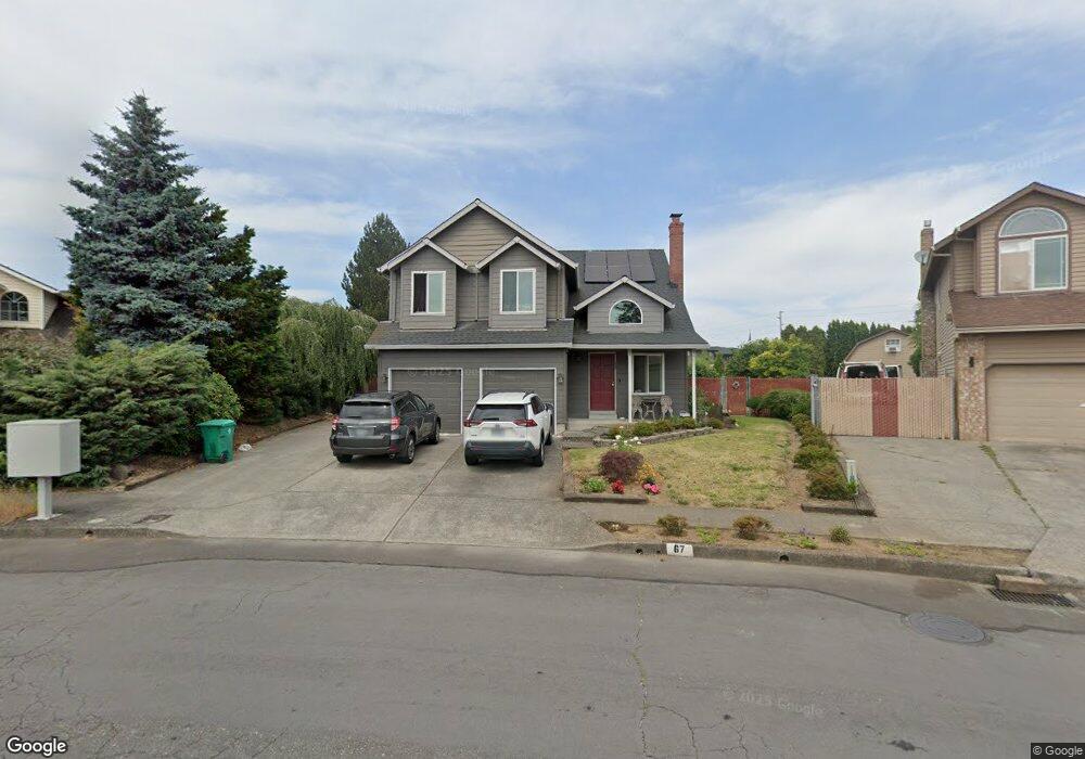
67 NE 29th Dr Gresham, OR 97030
North Central NeighborhoodEstimated Value: $522,996 - $546,000
4
Beds
3
Baths
2,256
Sq Ft
$237/Sq Ft
Est. Value
About This Home
This home is located at 67 NE 29th Dr, Gresham, OR 97030 and is currently estimated at $535,499, approximately $237 per square foot. 67 NE 29th Dr is a home located in Multnomah County with nearby schools including Highland Elementary School, Clear Creek Middle School, and Gresham High School.
Ownership History
Date
Name
Owned For
Owner Type
Purchase Details
Closed on
Feb 26, 2004
Sold by
Rosebrook Geoffrey L
Bought by
Bailey Harry S and Bailey Hyo Suk
Current Estimated Value
Home Financials for this Owner
Home Financials are based on the most recent Mortgage that was taken out on this home.
Original Mortgage
$65,700
Outstanding Balance
$30,127
Interest Rate
5.62%
Mortgage Type
Purchase Money Mortgage
Estimated Equity
$505,372
Purchase Details
Closed on
Oct 15, 1999
Sold by
Rosebrook Geoffrey L
Bought by
Rosebrook Geoffrey L and Rosebrook Regina K
Home Financials for this Owner
Home Financials are based on the most recent Mortgage that was taken out on this home.
Original Mortgage
$168,750
Interest Rate
7.86%
Mortgage Type
Purchase Money Mortgage
Create a Home Valuation Report for This Property
The Home Valuation Report is an in-depth analysis detailing your home's value as well as a comparison with similar homes in the area
Home Values in the Area
Average Home Value in this Area
Purchase History
| Date | Buyer | Sale Price | Title Company |
|---|---|---|---|
| Bailey Harry S | $218,200 | Fidelity Natl Title Co Of Or | |
| Rosebrook Geoffrey L | -- | First American Title Ins Co |
Source: Public Records
Mortgage History
| Date | Status | Borrower | Loan Amount |
|---|---|---|---|
| Open | Bailey Harry S | $65,700 | |
| Previous Owner | Rosebrook Geoffrey L | $168,750 |
Source: Public Records
Tax History
| Year | Tax Paid | Tax Assessment Tax Assessment Total Assessment is a certain percentage of the fair market value that is determined by local assessors to be the total taxable value of land and additions on the property. | Land | Improvement |
|---|---|---|---|---|
| 2025 | $5,414 | $266,030 | -- | -- |
| 2024 | $5,182 | $258,290 | -- | -- |
| 2023 | $4,721 | $250,770 | $0 | $0 |
| 2022 | $4,589 | $243,470 | $0 | $0 |
| 2021 | $4,474 | $264,430 | $0 | $0 |
| 2020 | $4,209 | $256,730 | $0 | $0 |
| 2019 | $4,099 | $249,260 | $0 | $0 |
| 2018 | $3,909 | $242,000 | $0 | $0 |
| 2017 | $3,750 | $234,960 | $0 | $0 |
| 2016 | $3,307 | $203,930 | $0 | $0 |
Source: Public Records
Map
Nearby Homes
- 2730 NE Roberts Ave
- 1035 SE 225th Ave
- 2775 NE Linden Ave
- 535 NE 24th St
- 210 SE 218th Ave
- 450 NE 22nd St
- 21532 SE Alder St
- 349 NE 18th St
- 21525 SE Oak St
- 21553 SE Ankeny Terrace
- 1783 1791 NE Beech Place
- 1556 NE 27th Terrace
- 132 SE 214th Ave
- 21400 SE Stark St Unit 2
- 209 SE 214th Ave
- 21260 SE Stark St
- 872 NE Pacific Dr
- 760 NE Pacific Dr
- 54 NW 13th St
- 21016 SE Stark St Unit 71
- 73 NE 29th Dr
- 55 NE 29th Dr
- 81 NE 29th Dr
- 76 NE 29th Dr
- 51 NE 29th Dr
- 58 NE 29th Dr
- 89 NE 29th Dr
- 22617 SE Morrison St
- 84 NE 29th Dr
- 22444 SE Stark St
- 2875 NE Hood Ave
- 22541 SE Morrison St
- 97 NE 29th Dr
- 22660 SE Stark St
- 22531 SE Morrison St
- 2851 NE Hood Ave
- 2801 NE Roberts Ave
- 2800 NE Roberts Ave
- 101 NE 29th Dr
- 22517 SE Morrison St
Your Personal Tour Guide
Ask me questions while you tour the home.