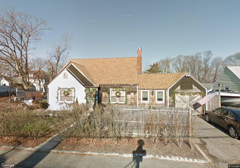
67 Northridge St Huntington Station, NY 11746
Estimated Value: $515,702 - $723,000
--
Bed
--
Bath
--
Sq Ft
7,841
Sq Ft Lot
About This Home
This home is located at 67 Northridge St, Huntington Station, NY 11746 and is currently estimated at $607,926. 67 Northridge St is a home located in Suffolk County with nearby schools including Woodhull Intermediate School, Washington School, and J Taylor Finley Middle School.
Ownership History
Date
Name
Owned For
Owner Type
Purchase Details
Closed on
Aug 18, 2009
Sold by
Brink Deane H and Brink Deane H
Bought by
Brink Deane H and Brink Christine
Current Estimated Value
Home Financials for this Owner
Home Financials are based on the most recent Mortgage that was taken out on this home.
Original Mortgage
$284,900
Outstanding Balance
$187,173
Interest Rate
5.36%
Mortgage Type
Purchase Money Mortgage
Estimated Equity
$420,753
Purchase Details
Closed on
Apr 23, 2001
Sold by
Lee Jesse S
Bought by
Brink Deane and Brink Deane H
Home Financials for this Owner
Home Financials are based on the most recent Mortgage that was taken out on this home.
Original Mortgage
$160,000
Interest Rate
6.88%
Purchase Details
Closed on
Sep 28, 1999
Sold by
Thomas Maggie and Davis Maggie
Bought by
Lee Jesse S
Home Financials for this Owner
Home Financials are based on the most recent Mortgage that was taken out on this home.
Original Mortgage
$149,823
Interest Rate
7.8%
Mortgage Type
FHA
Create a Home Valuation Report for This Property
The Home Valuation Report is an in-depth analysis detailing your home's value as well as a comparison with similar homes in the area
Home Values in the Area
Average Home Value in this Area
Purchase History
| Date | Buyer | Sale Price | Title Company |
|---|---|---|---|
| Brink Deane H | -- | -- | |
| Brink Deane | $200,000 | Commonwealth Land Title Ins | |
| Lee Jesse S | $150,000 | Fidelity National Title Ins |
Source: Public Records
Mortgage History
| Date | Status | Borrower | Loan Amount |
|---|---|---|---|
| Open | Brink Deane H | $284,900 | |
| Previous Owner | Brink Deane | $160,000 | |
| Previous Owner | Lee Jesse S | $149,823 |
Source: Public Records
Tax History Compared to Growth
Tax History
| Year | Tax Paid | Tax Assessment Tax Assessment Total Assessment is a certain percentage of the fair market value that is determined by local assessors to be the total taxable value of land and additions on the property. | Land | Improvement |
|---|---|---|---|---|
| 2024 | $6,787 | $1,775 | $175 | $1,600 |
| 2023 | $3,394 | $1,775 | $175 | $1,600 |
| 2022 | $6,715 | $1,775 | $175 | $1,600 |
| 2021 | $6,671 | $1,775 | $175 | $1,600 |
| 2020 | $6,570 | $1,775 | $175 | $1,600 |
| 2019 | $13,140 | $0 | $0 | $0 |
| 2018 | $6,175 | $1,775 | $175 | $1,600 |
| 2017 | $6,175 | $1,775 | $175 | $1,600 |
| 2016 | $6,059 | $1,775 | $175 | $1,600 |
| 2015 | -- | $1,775 | $175 | $1,600 |
| 2014 | -- | $1,775 | $175 | $1,600 |
Source: Public Records
Map
Nearby Homes
- 71 Biltmore Cir
- 217 Broadway
- 26 Townhouse Rd S Unit 26
- 200 Lowndes Ave Unit A
- 280 Lowndes Ave Unit 208
- 280 Lowndes Ave Unit 305G
- 280 Lowndes Ave Unit 111G
- 148 Lenox Rd
- 62 Lowndes Ave
- 128 Winding St
- 0 Tower St
- 49 Tower St
- 12 Foxdale Ct
- 57 E Pulaski Rd
- 92 Columbia St
- 95 E Pulaski Rd
- 107 E 9th St
- 12 Canyon St
- 1 Varney Ave
- 84 E 9th St
- 69 Northridge St
- 88 Wyman Ave
- 76 Wyman Ave
- 65 Highview Ave
- 61 Northridge St
- 61 Northridge St Unit B
- 61 Northridge St Unit A
- 51 Northridge St
- 71 Northridge St
- 71 Northridge St Unit Up
- 96 Wyman Ave
- 61 Highview Ave
- 68 Wyman Ave
- 91 Wyman Ave
- 57 Northridge St
- 57 Northridge St Unit Upper
- 75 Wyman Ave
- 66 Highview Ave
- 47 Highview Ave
- 66 Folsom Ave