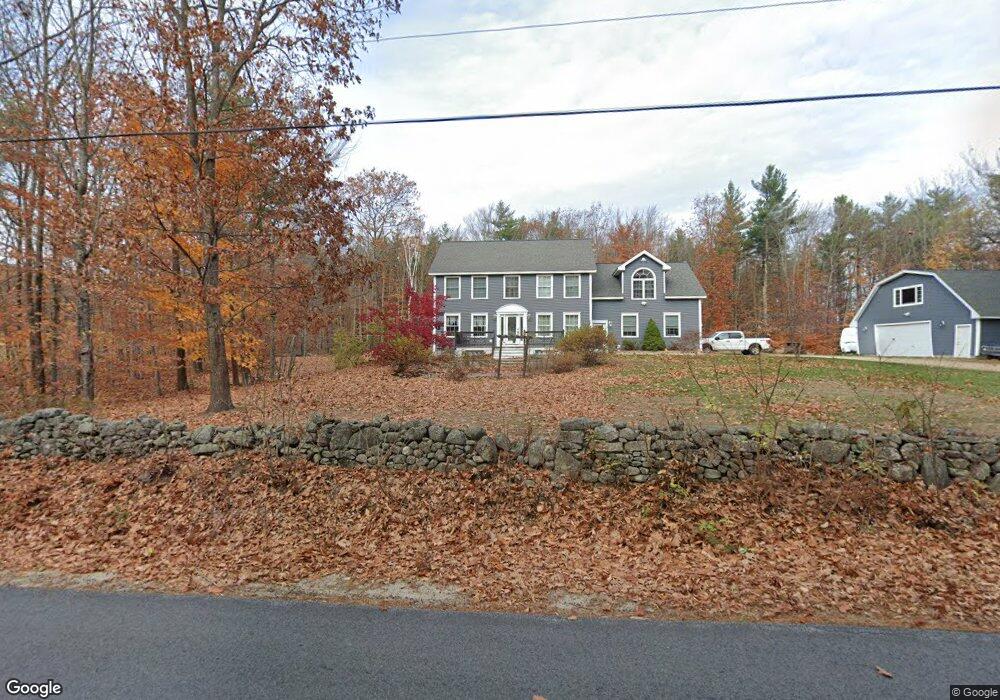
67 Norton Rd Limington, ME 04049
Limington NeighborhoodEstimated Value: $405,000 - $559,000
--
Bed
--
Bath
--
Sq Ft
2.78
Acres
About This Home
This home is located at 67 Norton Rd, Limington, ME 04049 and is currently estimated at $501,769. 67 Norton Rd is a home with nearby schools including Bonny Eagle High School.
Ownership History
Date
Name
Owned For
Owner Type
Purchase Details
Closed on
Mar 4, 2021
Sold by
Rheaume Frederick A
Bought by
Frederick A Rheaume Ret and Rheaume
Current Estimated Value
Purchase Details
Closed on
Sep 7, 2006
Sold by
Skyline Dev Inc
Bought by
Mccarthy Linda A and Rheaume Frederick A
Home Financials for this Owner
Home Financials are based on the most recent Mortgage that was taken out on this home.
Original Mortgage
$227,000
Interest Rate
6.79%
Mortgage Type
Commercial
Create a Home Valuation Report for This Property
The Home Valuation Report is an in-depth analysis detailing your home's value as well as a comparison with similar homes in the area
Home Values in the Area
Average Home Value in this Area
Purchase History
| Date | Buyer | Sale Price | Title Company |
|---|---|---|---|
| Frederick A Rheaume Ret | -- | None Available | |
| Mccarthy Linda A | -- | -- |
Source: Public Records
Mortgage History
| Date | Status | Borrower | Loan Amount |
|---|---|---|---|
| Previous Owner | Mccarthy Linda A | $227,000 |
Source: Public Records
Tax History Compared to Growth
Tax History
| Year | Tax Paid | Tax Assessment Tax Assessment Total Assessment is a certain percentage of the fair market value that is determined by local assessors to be the total taxable value of land and additions on the property. | Land | Improvement |
|---|---|---|---|---|
| 2024 | $5,529 | $492,336 | $100,680 | $391,656 |
| 2023 | $5,037 | $492,336 | $100,680 | $391,656 |
| 2022 | $3,878 | $262,948 | $67,120 | $195,828 |
| 2021 | $3,471 | $262,948 | $67,120 | $195,828 |
| 2020 | $3,234 | $262,948 | $67,120 | $195,828 |
| 2019 | $2,490 | $262,948 | $67,120 | $195,828 |
| 2017 | $2,893 | $245,200 | $67,120 | $178,080 |
| 2016 | $2,858 | $254,074 | $67,120 | $186,954 |
| 2015 | $2,673 | $245,200 | $67,120 | $178,080 |
| 2014 | $2,673 | $245,200 | $67,120 | $178,080 |
| 2013 | $2,575 | $245,200 | $67,120 | $178,080 |
Source: Public Records
Map
Nearby Homes
- 1323 Cape Rd
- 50AC Sawyer Mountain Rd
- 0 Sawyer Mountain Rd Unit 1637334
- 60 Christian Hill Rd
- 1024 Cape Rd
- 440 Quarry Rd
- 11 Putnam Ridge
- 14 Hunter Dr
- Lot #5 Jordan Heights Rd
- Lot15-006B Quarry Rd
- 154 Lombard Hill Rd
- Lot B & C Cape Rd
- 8 Mikes Way
- Lot 7 Prokey Dr
- 72 Far Woods Cir
- Lot 12 Prokey Dr
- 6-13 Main St
- 152 Quarry Rd
- 99 July St
- 106 July St
- 68 Norton Rd
- 66 Norton Rd
- lot 3 Norton Rd
- 65 Norton Rd
- 43 Norton Rd
- 37 Norton Rd
- 79 Norton Rd
- 60 Norton Rd
- Lot #4 Norton Rd
- 12 Mountain View Rd
- 53 Norton Rd
- 54 Norton Rd
- 2 Norton Rd
- 46 Norton Rd
- 0 Norton Rd Unit 858154
- 0 Norton Rd Unit 795042
- 0 Norton Rd Unit 802206
- 0 Norton Rd Unit 267835
- 0 Norton Rd Unit 322449
- 0 Norton Rd Unit 3 884417