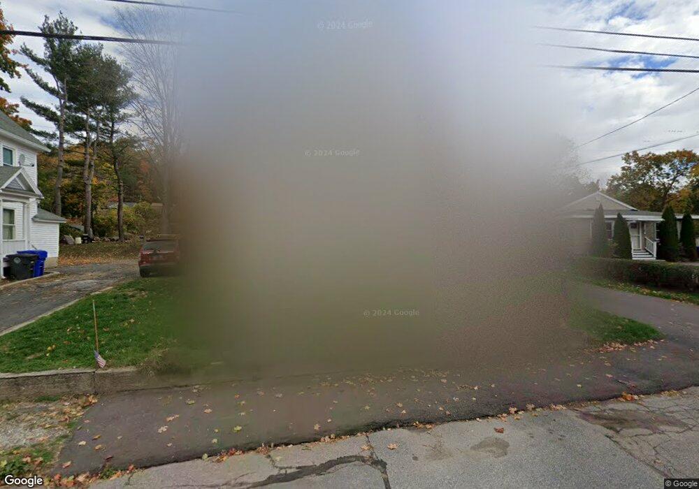
67 Oak Ave Torrington, CT 06790
Estimated Value: $225,000 - $258,000
3
Beds
2
Baths
1,121
Sq Ft
$214/Sq Ft
Est. Value
About This Home
This home is located at 67 Oak Ave, Torrington, CT 06790 and is currently estimated at $240,289, approximately $214 per square foot. 67 Oak Ave is a home located in Litchfield County with nearby schools including Torrington Middle School, Torrington High School, and Brooker Memorial CC & Learning Center.
Ownership History
Date
Name
Owned For
Owner Type
Purchase Details
Closed on
Oct 28, 1994
Sold by
Pepper James E and Pepper Claire L
Bought by
Franzi Thomas and Franzi Margaret Anne
Current Estimated Value
Purchase Details
Closed on
Jun 30, 1988
Sold by
Bucaccio Michael L
Bought by
Sachweh Claire L
Create a Home Valuation Report for This Property
The Home Valuation Report is an in-depth analysis detailing your home's value as well as a comparison with similar homes in the area
Home Values in the Area
Average Home Value in this Area
Purchase History
| Date | Buyer | Sale Price | Title Company |
|---|---|---|---|
| Franzi Thomas | $87,000 | -- | |
| Sachweh Claire L | $112,000 | -- |
Source: Public Records
Mortgage History
| Date | Status | Borrower | Loan Amount |
|---|---|---|---|
| Closed | Sachweh Claire L | $30,000 | |
| Open | Sachweh Claire L | $135,000 | |
| Closed | Sachweh Claire L | $128,250 |
Source: Public Records
Tax History Compared to Growth
Tax History
| Year | Tax Paid | Tax Assessment Tax Assessment Total Assessment is a certain percentage of the fair market value that is determined by local assessors to be the total taxable value of land and additions on the property. | Land | Improvement |
|---|---|---|---|---|
| 2025 | $5,878 | $152,880 | $20,370 | $132,510 |
| 2024 | $3,420 | $71,300 | $20,380 | $50,920 |
| 2023 | $3,420 | $71,300 | $20,380 | $50,920 |
| 2022 | $3,361 | $71,300 | $20,380 | $50,920 |
| 2021 | $3,292 | $71,300 | $20,380 | $50,920 |
| 2020 | $3,292 | $71,300 | $20,380 | $50,920 |
| 2019 | $2,885 | $62,480 | $20,370 | $42,110 |
| 2018 | $2,885 | $62,480 | $20,370 | $42,110 |
| 2017 | $2,858 | $62,480 | $20,370 | $42,110 |
| 2016 | $2,858 | $62,480 | $20,370 | $42,110 |
| 2015 | $2,858 | $62,480 | $20,370 | $42,110 |
| 2014 | $3,117 | $85,830 | $28,000 | $57,830 |
Source: Public Records
Map
Nearby Homes
- 184 Harwinton Ave
- 25 Lipton Place
- 91 Harrison Ave
- 19 Harwinton Ave
- 271 S Main St
- 37 Linden St
- 333 Hillside Ave Unit 10
- 393 S Main St
- 505 Harwinton Ave Unit 21
- 505 Harwinton Ave Unit 27
- 528 Clearview Ave
- 187 Hillside Ave
- 148 Hillside Ave
- 21 Prospect St Unit 1
- 172 Pierce St
- 185 Barton St
- 10 Irene St
- 291 E Main St
- 185 Albert St
- 48 Brookside Ave