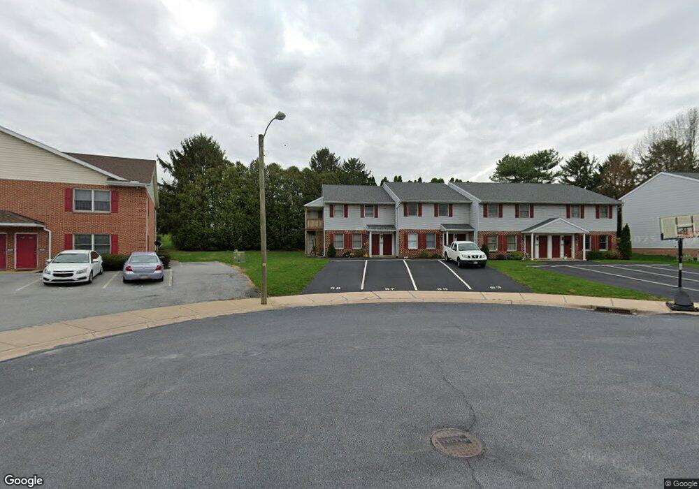
67 Oriole Dr Ephrata, PA 17522
Estimated Value: $263,000 - $365,000
4
Beds
2
Baths
1,584
Sq Ft
$195/Sq Ft
Est. Value
About This Home
This home is located at 67 Oriole Dr, Ephrata, PA 17522 and is currently estimated at $308,259, approximately $194 per square foot. 67 Oriole Dr is a home located in Lancaster County with nearby schools including Ephrata Intermediate School, Clay Elementary School, and Ephrata Senior High School.
Ownership History
Date
Name
Owned For
Owner Type
Purchase Details
Closed on
Jan 31, 2008
Sold by
Jsh Foundation
Bought by
Martin Leroy W
Current Estimated Value
Home Financials for this Owner
Home Financials are based on the most recent Mortgage that was taken out on this home.
Original Mortgage
$175,000
Outstanding Balance
$111,191
Interest Rate
6.2%
Mortgage Type
Purchase Money Mortgage
Estimated Equity
$197,068
Purchase Details
Closed on
Dec 28, 2007
Sold by
Horst Gerald L and Horst Sue M
Bought by
Jsh Foundation
Home Financials for this Owner
Home Financials are based on the most recent Mortgage that was taken out on this home.
Original Mortgage
$175,000
Outstanding Balance
$111,191
Interest Rate
6.2%
Mortgage Type
Purchase Money Mortgage
Estimated Equity
$197,068
Purchase Details
Closed on
Oct 23, 2002
Sold by
Horst Gerald L and Horst Sue M
Bought by
Horst Gerald L and Horst Sue M
Create a Home Valuation Report for This Property
The Home Valuation Report is an in-depth analysis detailing your home's value as well as a comparison with similar homes in the area
Home Values in the Area
Average Home Value in this Area
Purchase History
| Date | Buyer | Sale Price | Title Company |
|---|---|---|---|
| Martin Leroy W | $300,000 | None Available | |
| Jsh Foundation | $154,187 | None Available | |
| Horst Gerald L | -- | -- |
Source: Public Records
Mortgage History
| Date | Status | Borrower | Loan Amount |
|---|---|---|---|
| Open | Martin Leroy W | $175,000 |
Source: Public Records
Tax History Compared to Growth
Tax History
| Year | Tax Paid | Tax Assessment Tax Assessment Total Assessment is a certain percentage of the fair market value that is determined by local assessors to be the total taxable value of land and additions on the property. | Land | Improvement |
|---|---|---|---|---|
| 2025 | $2,930 | $127,400 | $36,700 | $90,700 |
| 2024 | $2,930 | $127,400 | $36,700 | $90,700 |
| 2023 | $2,855 | $127,400 | $36,700 | $90,700 |
| 2022 | $2,790 | $127,400 | $36,700 | $90,700 |
| 2021 | $2,718 | $127,400 | $36,700 | $90,700 |
| 2020 | $2,718 | $127,400 | $36,700 | $90,700 |
| 2019 | $2,679 | $127,400 | $36,700 | $90,700 |
| 2018 | $2,159 | $127,400 | $36,700 | $90,700 |
| 2017 | $3,020 | $117,700 | $27,700 | $90,000 |
| 2016 | $3,008 | $117,700 | $27,700 | $90,000 |
| 2015 | $601 | $117,700 | $27,700 | $90,000 |
| 2014 | $2,307 | $117,700 | $27,700 | $90,000 |
Source: Public Records
Map
Nearby Homes
- 1212 W Main St
- 57 Perseverance Ln
- 84 Weaver Ave
- 124 Morning Dr
- 65 Weidmansville Rd
- 00 Morning Dr
- 314 Freedom Dr
- 992 Hammon Ave
- 131 Sunrise Ln
- 205 Forget me Not Dr
- Atworth Plan at Wyndale
- Lawrence Plan at Wyndale
- Huntington Plan at Wyndale
- Brookfield Plan at Wyndale
- Darien Plan at Wyndale
- Perry Plan at Wyndale
- Kingston Plan at Wyndale
- Silverbrooke Plan at Wyndale
- Stonecroft Plan at Wyndale
- Westbrooke Plan at Wyndale