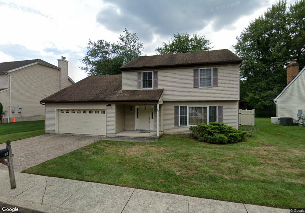
67 Palisade Ave Westwood, NJ 07675
Estimated Value: $744,927 - $826,000
--
Bed
--
Bath
2,038
Sq Ft
$385/Sq Ft
Est. Value
About This Home
This home is located at 67 Palisade Ave, Westwood, NJ 07675 and is currently estimated at $783,982, approximately $384 per square foot. 67 Palisade Ave is a home located in Bergen County with nearby schools including Westwood Regional High School, Primoris Academy, and Assumption Academy.
Ownership History
Date
Name
Owned For
Owner Type
Purchase Details
Closed on
Dec 24, 1997
Sold by
Gonin Gunther H and Gonin Christel I
Bought by
Lo Chih Ming and Chang Shu Chen
Current Estimated Value
Home Financials for this Owner
Home Financials are based on the most recent Mortgage that was taken out on this home.
Original Mortgage
$161,250
Outstanding Balance
$26,920
Interest Rate
7.08%
Estimated Equity
$757,062
Create a Home Valuation Report for This Property
The Home Valuation Report is an in-depth analysis detailing your home's value as well as a comparison with similar homes in the area
Home Values in the Area
Average Home Value in this Area
Purchase History
| Date | Buyer | Sale Price | Title Company |
|---|---|---|---|
| Lo Chih Ming | $215,000 | -- |
Source: Public Records
Mortgage History
| Date | Status | Borrower | Loan Amount |
|---|---|---|---|
| Open | Lo Chih Ming | $161,250 |
Source: Public Records
Tax History Compared to Growth
Tax History
| Year | Tax Paid | Tax Assessment Tax Assessment Total Assessment is a certain percentage of the fair market value that is determined by local assessors to be the total taxable value of land and additions on the property. | Land | Improvement |
|---|---|---|---|---|
| 2025 | $11,040 | $541,400 | $277,500 | $263,900 |
| 2024 | $11,036 | $505,500 | $253,800 | $251,700 |
| 2023 | $10,944 | $481,300 | $234,400 | $246,900 |
| 2022 | $10,944 | $454,500 | $220,000 | $234,500 |
| 2021 | $10,799 | $430,400 | $200,000 | $230,400 |
| 2020 | $10,790 | $425,800 | $198,200 | $227,600 |
| 2019 | $10,667 | $423,300 | $196,500 | $226,800 |
| 2018 | $10,319 | $415,600 | $193,000 | $222,600 |
| 2017 | $10,327 | $411,600 | $190,000 | $221,600 |
| 2016 | $9,930 | $378,000 | $170,000 | $208,000 |
| 2015 | $9,616 | $378,000 | $170,000 | $208,000 |
| 2014 | $9,420 | $378,000 | $170,000 | $208,000 |
Source: Public Records
Map
Nearby Homes
- 189 Woodland Ave
- 149 Brookside Ave
- 20 Lewis Place
- 34 Lewis Place
- 27 Sullivan Dr
- 114 Pine Dr
- 558 Westwood Ave
- 25 Crest St Unit 206
- 722 Wilson Ct
- 19 Lexington Ave
- 502 Westwood Ave
- 150 Highland Ave
- 243 Kociemba Dr
- 271 Collignon Way Unit 4A
- 229 William St
- 111 Ivy Ln
- 1 High St
- 183 Jefferson Ave
- 557 Roosevelt Ave
- 56 Jefferson Ave
- 61 Palisade Ave
- 73 Palisade Ave
- 96 Westwood Blvd
- 92 Westwood Blvd
- 60 Palisade Ave
- 55 Palisade Ave
- 79 Palisade Ave
- 90 Westwood Blvd
- 56 Palisade Ave
- 98 Westwood Blvd
- 66 Palisade Ave
- 50 Palisade Ave
- 72 Palisade Ave
- 88 Westwood Blvd
- 49 Palisade Ave
- 85 Palisade Ave
- 87 Westwood Blvd
- 93 Westwood Blvd
- 81 Westwood Blvd
- 100 Westwood Blvd