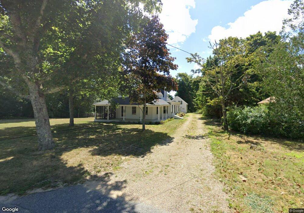
67 Parallel St Harwich, MA 02645
Harwich Center NeighborhoodEstimated Value: $993,000 - $1,304,000
3
Beds
4
Baths
2,143
Sq Ft
$513/Sq Ft
Est. Value
About This Home
This home is located at 67 Parallel St, Harwich, MA 02645 and is currently estimated at $1,099,380, approximately $513 per square foot. 67 Parallel St is a home located in Barnstable County with nearby schools including Harwich Elementary School, Chatham Elementary School, and Monomoy Regional Middle School.
Ownership History
Date
Name
Owned For
Owner Type
Purchase Details
Closed on
Nov 28, 2003
Sold by
Morgan Helen M
Bought by
Albert Harold G and Morgan Cheryl A
Current Estimated Value
Home Financials for this Owner
Home Financials are based on the most recent Mortgage that was taken out on this home.
Original Mortgage
$300,000
Outstanding Balance
$141,050
Interest Rate
6.09%
Mortgage Type
Purchase Money Mortgage
Estimated Equity
$958,330
Create a Home Valuation Report for This Property
The Home Valuation Report is an in-depth analysis detailing your home's value as well as a comparison with similar homes in the area
Home Values in the Area
Average Home Value in this Area
Purchase History
| Date | Buyer | Sale Price | Title Company |
|---|---|---|---|
| Albert Harold G | $380,000 | -- |
Source: Public Records
Mortgage History
| Date | Status | Borrower | Loan Amount |
|---|---|---|---|
| Open | Albert Harold G | $300,000 |
Source: Public Records
Tax History
| Year | Tax Paid | Tax Assessment Tax Assessment Total Assessment is a certain percentage of the fair market value that is determined by local assessors to be the total taxable value of land and additions on the property. | Land | Improvement |
|---|---|---|---|---|
| 2025 | $6,289 | $1,064,100 | $211,200 | $852,900 |
| 2024 | $6,087 | $1,009,500 | $199,300 | $810,200 |
| 2023 | $5,795 | $872,700 | $181,100 | $691,600 |
| 2022 | $5,631 | $694,300 | $157,500 | $536,800 |
| 2021 | $4,849 | $563,800 | $143,200 | $420,600 |
| 2020 | $3,433 | $393,200 | $141,600 | $251,600 |
| 2019 | $3,090 | $356,400 | $136,100 | $220,300 |
| 2018 | $3,023 | $333,500 | $123,700 | $209,800 |
| 2017 | $2,815 | $313,800 | $107,100 | $206,700 |
| 2016 | $2,624 | $289,300 | $107,100 | $182,200 |
| 2015 | $2,553 | $284,600 | $105,000 | $179,600 |
| 2014 | $2,495 | $284,500 | $107,200 | $177,300 |
Source: Public Records
Map
Nearby Homes
- 26 Pleasant Lake Ave Unit 16
- 13 Allen St
- 44 Beriah Brooks Rd
- 135 Sisson Rd
- 5 Rocky Way
- 19 Larkin Ln
- 2 Bassett Woods Rd
- 18 Old Campground
- 4 Berry Ln
- 10 Notre Dame Ave
- 9 Jason Ln
- 35 Wendys Way
- 14 Harold St Unit 13A
- 14 Harold St Unit 14A
- 14 Harold St Unit 6F
- 14 Harold St Unit 13A
- 14 Harold St Unit 14A
- 359 Great Western Rd
- 515 Route 28
- 515 Massachusetts 28
Your Personal Tour Guide
Ask me questions while you tour the home.