67 Pattys Rd Mansfield, MA 02048
Estimated Value: $774,049 - $898,000
4
Beds
4
Baths
1,976
Sq Ft
$424/Sq Ft
Est. Value
About This Home
This home is located at 67 Pattys Rd, Mansfield, MA 02048 and is currently estimated at $837,762, approximately $423 per square foot. 67 Pattys Rd is a home located in Bristol County with nearby schools including Jordan/Jackson Elementary School, Everett W. Robinson Elementary School, and Harold L. Qualters Middle School.
Create a Home Valuation Report for This Property
The Home Valuation Report is an in-depth analysis detailing your home's value as well as a comparison with similar homes in the area
Home Values in the Area
Average Home Value in this Area
Tax History Compared to Growth
Tax History
| Year | Tax Paid | Tax Assessment Tax Assessment Total Assessment is a certain percentage of the fair market value that is determined by local assessors to be the total taxable value of land and additions on the property. | Land | Improvement |
|---|---|---|---|---|
| 2025 | $8,871 | $673,600 | $278,100 | $395,500 |
| 2024 | $8,776 | $650,100 | $290,200 | $359,900 |
| 2023 | $8,517 | $604,500 | $290,200 | $314,300 |
| 2022 | $8,201 | $540,600 | $268,600 | $272,000 |
| 2021 | $7,967 | $518,700 | $224,000 | $294,700 |
| 2020 | $7,847 | $510,900 | $224,000 | $286,900 |
| 2019 | $3,958 | $476,000 | $186,500 | $289,500 |
| 2018 | $6,840 | $462,200 | $177,900 | $284,300 |
| 2017 | $3,674 | $449,300 | $172,800 | $276,500 |
| 2016 | $6,565 | $426,000 | $164,600 | $261,400 |
| 2015 | $6,397 | $412,700 | $164,600 | $248,100 |
Source: Public Records
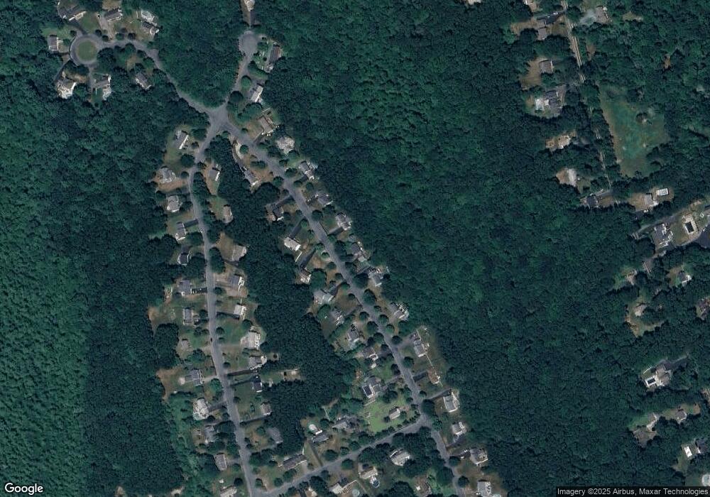
Map
Nearby Homes
- 218 Massapoag Ave
- 260 Massapoag Ave
- 3 Nicole Rd
- 98 Massapoag Ave
- 89 Massapoag Ave
- 2 Red Fox Run
- 81 Rockland St
- 25 Winter St
- 261 East St
- 3 Cushing Ln
- 7 Revere Dr
- 10 Erick Rd Unit 34
- 10 Erick Rd Unit 31
- 46 Kerry Dr
- 55-57 Pine Needle Ln
- 4 Plantation Rd
- 5 Pineview Terrace
- 96 Kevins Way
- 15 Victory Ln
- 12 Community Way