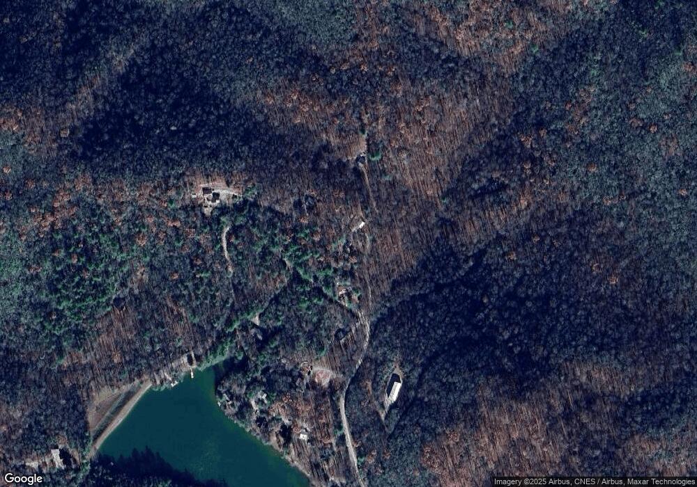
67 Pine Rd Rosman, NC 28772
Estimated Value: $235,000 - $278,000
2
Beds
1
Bath
720
Sq Ft
$348/Sq Ft
Est. Value
About This Home
This home is located at 67 Pine Rd, Rosman, NC 28772 and is currently estimated at $250,445, approximately $347 per square foot. 67 Pine Rd is a home located in Transylvania County.
Ownership History
Date
Name
Owned For
Owner Type
Purchase Details
Closed on
Jul 30, 2020
Sold by
Sturkie Elizabeth O
Bought by
Palmer Dylan and Palmer Kristen H
Current Estimated Value
Home Financials for this Owner
Home Financials are based on the most recent Mortgage that was taken out on this home.
Original Mortgage
$90,909
Outstanding Balance
$80,792
Interest Rate
3.1%
Mortgage Type
New Conventional
Estimated Equity
$169,653
Purchase Details
Closed on
Aug 7, 2013
Sold by
Lounsberry Ronald and Lounsberry Catherine
Bought by
Sturkie Elizabeth O
Purchase Details
Closed on
Jun 19, 2006
Sold by
Sentell Christie M
Bought by
Lounsberry Ronald and Lounsberry Catherine
Create a Home Valuation Report for This Property
The Home Valuation Report is an in-depth analysis detailing your home's value as well as a comparison with similar homes in the area
Home Values in the Area
Average Home Value in this Area
Purchase History
| Date | Buyer | Sale Price | Title Company |
|---|---|---|---|
| Palmer Dylan | $90,000 | None Available | |
| Sturkie Elizabeth O | $79,000 | None Available | |
| Lounsberry Ronald | $85,000 | None Available |
Source: Public Records
Mortgage History
| Date | Status | Borrower | Loan Amount |
|---|---|---|---|
| Open | Palmer Dylan | $90,909 |
Source: Public Records
Tax History Compared to Growth
Tax History
| Year | Tax Paid | Tax Assessment Tax Assessment Total Assessment is a certain percentage of the fair market value that is determined by local assessors to be the total taxable value of land and additions on the property. | Land | Improvement |
|---|---|---|---|---|
| 2025 | $822 | $171,090 | $30,000 | $141,090 |
| 2024 | $561 | $85,290 | $30,000 | $55,290 |
| 2023 | $561 | $85,290 | $30,000 | $55,290 |
| 2022 | $561 | $85,290 | $30,000 | $55,290 |
| 2021 | $557 | $85,290 | $30,000 | $55,290 |
| 2020 | $562 | $80,810 | $0 | $0 |
| 2019 | $558 | $80,810 | $0 | $0 |
| 2018 | $511 | $80,810 | $0 | $0 |
| 2017 | $507 | $80,810 | $0 | $0 |
| 2016 | $501 | $80,810 | $0 | $0 |
| 2015 | -- | $84,800 | $30,000 | $54,800 |
| 2014 | -- | $84,800 | $30,000 | $54,800 |
Source: Public Records
Map
Nearby Homes
- 37 Poplar Dr
- 206 Willow Ln
- 1101 Line Runner Ridge Rd
- 313 Line Runner Ridge Rd
- 361 Rooster Cove
- 262 Rooster Cove
- 779 Thissa Way
- 315 Garren Creek Rd
- 00 Line Runner Ridge Rd
- 4050 Pickens Hwy
- 300 Serenity Trail
- 3739 Pickens Hwy
- 171 Fjord Rd
- 303 Ladd Ridge Rd
- 88 Ladd Ridge
- 118 Blossom Rd
- tbd Eastatoe Gap Rd
- 180 Blossom Rd
- 49 & 51 Mayapple Ln
- TBD Girl Scout Camp Rd
- 67 Pine Rd Unit 3A
- 41 Pine Rd
- 73 Pine Rd
- 3 Pine Rd
- 2148 Line Runner Ridge Rd
- 2138 Line Runner Ridge Rd
- 133 Pine Rd
- 2059 Line Runner Ridge Rd
- 2151 Line Runner Ridge Rd
- 0 Off Line Runner Lake Rd Unit NCM437227
- 155 Anderson Dr
- 2015 Line Runner Ridge Rd
- 2168 Line Runner Ridge Rd
- 53 Poplar Dr
- 93 Poplar Dr
- 6 Poplar Dr
- 77 Wallace Mountain Rd
- 1973 Line Runner Ridge Rd
- 1925 Line Runner Ridge Rd
- 2288 Line Runner Ridge Rd
