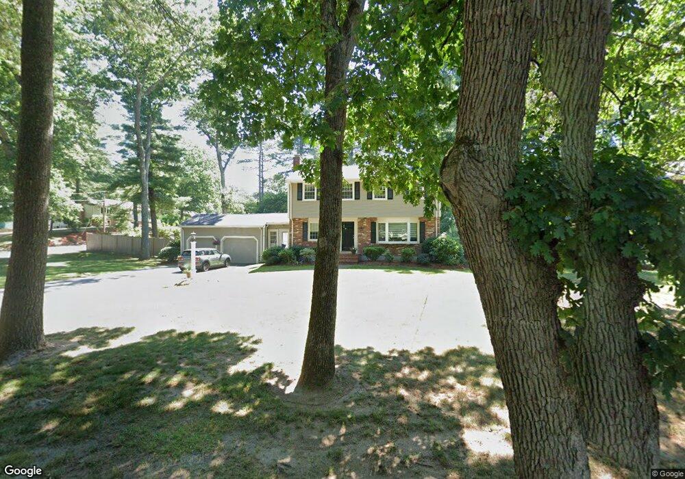
67 Pine St Medfield, MA 02052
Estimated Value: $937,000 - $1,067,000
4
Beds
3
Baths
99,999
Sq Ft
$10/Sq Ft
Est. Value
About This Home
This home is located at 67 Pine St, Medfield, MA 02052 and is currently estimated at $997,062, approximately $9 per square foot. 67 Pine St is a home located in Norfolk County with nearby schools including Memorial School, Ralph Wheelock School, and Dale Street School.
Ownership History
Date
Name
Owned For
Owner Type
Purchase Details
Closed on
Nov 10, 2003
Sold by
East Jeffrey M and East Ethel
Bought by
Mcnaughton Peter G and Mcnaughton Patricia K
Current Estimated Value
Home Financials for this Owner
Home Financials are based on the most recent Mortgage that was taken out on this home.
Original Mortgage
$322,700
Interest Rate
6.01%
Mortgage Type
Purchase Money Mortgage
Purchase Details
Closed on
Apr 2, 1998
Sold by
Dealy George M and Dealy Mary F
Bought by
East Jeffrey H and East Ethel
Purchase Details
Closed on
Jul 23, 1992
Sold by
Richards Scott B and Richards Laura A
Bought by
Dealy George M
Purchase Details
Closed on
Jun 18, 1987
Sold by
Tilton Robert C
Bought by
Richards Scott B
Create a Home Valuation Report for This Property
The Home Valuation Report is an in-depth analysis detailing your home's value as well as a comparison with similar homes in the area
Home Values in the Area
Average Home Value in this Area
Purchase History
| Date | Buyer | Sale Price | Title Company |
|---|---|---|---|
| Mcnaughton Peter G | $525,000 | -- | |
| Mcnaughton Peter G | $525,000 | -- | |
| East Jeffrey H | $287,000 | -- | |
| East Jeffrey H | $287,000 | -- | |
| Dealy George M | $240,000 | -- | |
| Dealy George M | $240,000 | -- | |
| Richards Scott B | $283,000 | -- |
Source: Public Records
Mortgage History
| Date | Status | Borrower | Loan Amount |
|---|---|---|---|
| Open | Richards Scott B | $385,000 | |
| Closed | Mcnaughton Peter G | $322,700 |
Source: Public Records
Tax History
| Year | Tax Paid | Tax Assessment Tax Assessment Total Assessment is a certain percentage of the fair market value that is determined by local assessors to be the total taxable value of land and additions on the property. | Land | Improvement |
|---|---|---|---|---|
| 2025 | $11,080 | $802,900 | $425,200 | $377,700 |
| 2024 | $10,659 | $728,100 | $385,600 | $342,500 |
| 2023 | $10,425 | $675,600 | $368,100 | $307,500 |
| 2022 | $10,173 | $584,000 | $350,600 | $233,400 |
| 2021 | $9,919 | $558,500 | $341,800 | $216,700 |
| 2020 | $9,790 | $549,100 | $338,300 | $210,800 |
| 2019 | $9,689 | $542,200 | $333,000 | $209,200 |
| 2018 | $8,466 | $497,100 | $322,500 | $174,600 |
| 2017 | $8,160 | $483,100 | $308,500 | $174,600 |
| 2016 | $7,945 | $474,300 | $299,700 | $174,600 |
| 2015 | $7,516 | $468,600 | $292,900 | $175,700 |
| 2014 | $7,277 | $451,400 | $275,700 | $175,700 |
Source: Public Records
Map
Nearby Homes
Your Personal Tour Guide
Ask me questions while you tour the home.