67 Quail Run Tewksbury, MA 01876
Estimated Value: $468,481 - $486,000
2
Beds
2
Baths
1,212
Sq Ft
$394/Sq Ft
Est. Value
About This Home
This home is located at 67 Quail Run, Tewksbury, MA 01876 and is currently estimated at $478,120, approximately $394 per square foot. 67 Quail Run is a home located in Middlesex County.
Ownership History
Date
Name
Owned For
Owner Type
Purchase Details
Closed on
Oct 22, 2009
Sold by
Blatz Jane C
Bought by
Jane C Blatz T
Current Estimated Value
Purchase Details
Closed on
Mar 31, 1989
Sold by
Boodry Wm J
Bought by
Blatz Martin J
Home Financials for this Owner
Home Financials are based on the most recent Mortgage that was taken out on this home.
Original Mortgage
$103,000
Interest Rate
10.63%
Mortgage Type
Purchase Money Mortgage
Create a Home Valuation Report for This Property
The Home Valuation Report is an in-depth analysis detailing your home's value as well as a comparison with similar homes in the area
Home Values in the Area
Average Home Value in this Area
Purchase History
| Date | Buyer | Sale Price | Title Company |
|---|---|---|---|
| Jane C Blatz T | -- | -- | |
| Blatz Martin J | $129,000 | -- |
Source: Public Records
Mortgage History
| Date | Status | Borrower | Loan Amount |
|---|---|---|---|
| Previous Owner | Blatz Martin J | $93,000 | |
| Previous Owner | Blatz Martin J | $98,100 | |
| Previous Owner | Blatz Martin J | $103,000 |
Source: Public Records
Tax History Compared to Growth
Tax History
| Year | Tax Paid | Tax Assessment Tax Assessment Total Assessment is a certain percentage of the fair market value that is determined by local assessors to be the total taxable value of land and additions on the property. | Land | Improvement |
|---|---|---|---|---|
| 2025 | $5,466 | $413,500 | $0 | $413,500 |
| 2024 | $5,106 | $381,300 | $0 | $381,300 |
| 2023 | $4,891 | $346,900 | $0 | $346,900 |
| 2022 | $4,783 | $314,700 | $0 | $314,700 |
| 2021 | $4,685 | $298,000 | $0 | $298,000 |
| 2020 | $4,654 | $291,400 | $0 | $291,400 |
| 2019 | $3,794 | $239,500 | $0 | $239,500 |
| 2018 | $3,726 | $231,000 | $0 | $231,000 |
| 2017 | $3,601 | $220,800 | $0 | $220,800 |
| 2016 | $3,613 | $221,000 | $0 | $221,000 |
| 2015 | $3,408 | $208,200 | $0 | $208,200 |
| 2014 | $3,427 | $212,700 | $0 | $212,700 |
Source: Public Records
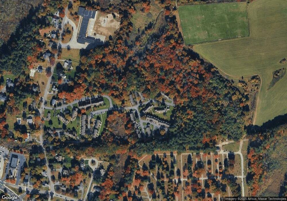
Map
Nearby Homes
- 13 Berkeley
- 20 Sophie Ruth Way
- 1 Tremblay Ave
- 1117 Emerald Ct
- 1224 Emerald Ct
- 910 Livingston St
- 97 Kendall Rd
- 900 Livingston St
- 399 North St
- 11 Orchard St
- 12 Hillcrest Rd
- 18 Newton Ave
- 1325 Main
- 43 Patrick Rd
- 1170 Livingston St
- 61 Patrick Rd
- 1418 Main St Unit 201
- 1455 Main St Unit 8
- 172 Patrick Rd
- 101 Squire Ln