67 Quoquonset Ln Little Compton, RI 02837
Estimated Value: $1,349,000 - $1,798,530
3
Beds
2
Baths
1,382
Sq Ft
$1,180/Sq Ft
Est. Value
About This Home
This home is located at 67 Quoquonset Ln, Little Compton, RI 02837 and is currently estimated at $1,631,383, approximately $1,180 per square foot. 67 Quoquonset Ln is a home located in Newport County with nearby schools including Wilbur & McMahon School.
Ownership History
Date
Name
Owned For
Owner Type
Purchase Details
Closed on
Apr 26, 2024
Sold by
Binger Matthew W
Bought by
67 Quoquonset Lane Llc
Current Estimated Value
Purchase Details
Closed on
Oct 14, 2022
Sold by
67 Quoquonset Lane Llc
Bought by
Binger Matthew M
Home Financials for this Owner
Home Financials are based on the most recent Mortgage that was taken out on this home.
Original Mortgage
$400,000
Interest Rate
4.5%
Mortgage Type
Adjustable Rate Mortgage/ARM
Purchase Details
Closed on
Mar 4, 2015
Sold by
67 Quoquonset Lane Llc and Vonsteinwehr Randi
Bought by
67 Quoquonset Lane Llc
Create a Home Valuation Report for This Property
The Home Valuation Report is an in-depth analysis detailing your home's value as well as a comparison with similar homes in the area
Home Values in the Area
Average Home Value in this Area
Purchase History
| Date | Buyer | Sale Price | Title Company |
|---|---|---|---|
| 67 Quoquonset Lane Llc | -- | None Available | |
| 67 Quoquonset Lane Llc | -- | None Available | |
| Binger Matthew M | -- | None Available | |
| Binger Matthew M | -- | None Available | |
| 67 Quoquonset Lane Llc | -- | -- | |
| Vonsteinwehr Randi | -- | -- | |
| 67 Quoquonset Lane Llc | -- | -- |
Source: Public Records
Mortgage History
| Date | Status | Borrower | Loan Amount |
|---|---|---|---|
| Previous Owner | Binger Matthew M | $400,000 |
Source: Public Records
Tax History
| Year | Tax Paid | Tax Assessment Tax Assessment Total Assessment is a certain percentage of the fair market value that is determined by local assessors to be the total taxable value of land and additions on the property. | Land | Improvement |
|---|---|---|---|---|
| 2025 | $7,555 | $1,577,200 | $1,334,700 | $242,500 |
| 2024 | $6,806 | $1,339,700 | $1,158,600 | $181,100 |
| 2023 | $6,645 | $1,339,700 | $1,158,600 | $181,100 |
| 2022 | $6,565 | $1,339,700 | $1,158,600 | $181,100 |
| 2021 | $10,034 | $1,661,200 | $1,487,900 | $173,300 |
| 2020 | $9,951 | $1,661,200 | $1,487,900 | $173,300 |
| 2019 | $11,083 | $1,869,000 | $1,697,500 | $171,500 |
| 2018 | $11,143 | $1,869,600 | $1,697,500 | $172,100 |
| 2016 | $10,601 | $1,869,600 | $1,697,500 | $172,100 |
| 2015 | $10,762 | $1,871,700 | $1,675,300 | $196,400 |
| 2014 | $10,556 | $1,871,700 | $1,675,300 | $196,400 |
Source: Public Records
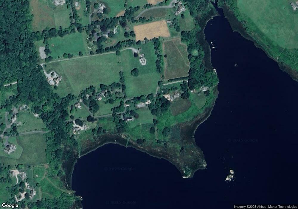
Map
Nearby Homes
Your Personal Tour Guide
Ask me questions while you tour the home.