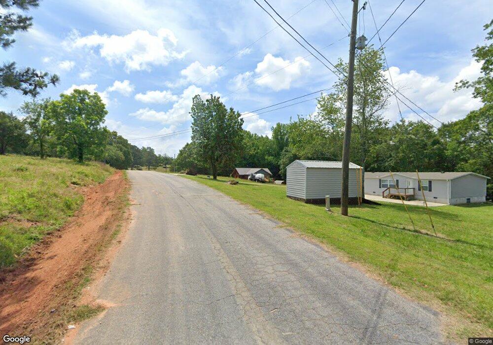
67 Rainbow Dr Hartwell, GA 30643
Estimated Value: $99,000 - $157,000
3
Beds
1
Bath
1,219
Sq Ft
$106/Sq Ft
Est. Value
About This Home
This home is located at 67 Rainbow Dr, Hartwell, GA 30643 and is currently estimated at $129,573, approximately $106 per square foot. 67 Rainbow Dr is a home located in Hart County with nearby schools including Hart County High School.
Ownership History
Date
Name
Owned For
Owner Type
Purchase Details
Closed on
Aug 5, 2016
Bought by
Albertos Casa Grande Inc
Current Estimated Value
Purchase Details
Closed on
Apr 5, 2016
Sold by
Baca Charles
Bought by
Us Bank National Association T
Purchase Details
Closed on
Jun 21, 2005
Sold by
Booms Jon W
Bought by
Baca Charles
Home Financials for this Owner
Home Financials are based on the most recent Mortgage that was taken out on this home.
Original Mortgage
$16,750
Interest Rate
5.57%
Mortgage Type
New Conventional
Purchase Details
Closed on
Jun 1, 2003
Purchase Details
Closed on
Jun 1, 1998
Create a Home Valuation Report for This Property
The Home Valuation Report is an in-depth analysis detailing your home's value as well as a comparison with similar homes in the area
Home Values in the Area
Average Home Value in this Area
Purchase History
| Date | Buyer | Sale Price | Title Company |
|---|---|---|---|
| Albertos Casa Grande Inc | $35,829 | -- | |
| Us Bank National Association T | -- | -- | |
| Baca Charles | $83,750 | -- | |
| -- | $57,600 | -- | |
| -- | $55,000 | -- |
Source: Public Records
Mortgage History
| Date | Status | Borrower | Loan Amount |
|---|---|---|---|
| Previous Owner | Baca Charles | $16,750 |
Source: Public Records
Tax History Compared to Growth
Tax History
| Year | Tax Paid | Tax Assessment Tax Assessment Total Assessment is a certain percentage of the fair market value that is determined by local assessors to be the total taxable value of land and additions on the property. | Land | Improvement |
|---|---|---|---|---|
| 2024 | $528 | $34,200 | $10,000 | $24,200 |
| 2023 | $517 | $31,027 | $10,000 | $21,027 |
| 2022 | $475 | $28,548 | $9,600 | $18,948 |
| 2021 | $479 | $25,803 | $8,400 | $17,403 |
| 2020 | $492 | $25,406 | $8,400 | $17,006 |
| 2019 | $485 | $24,804 | $8,400 | $16,404 |
| 2018 | $425 | $21,476 | $4,400 | $17,076 |
| 2017 | $285 | $21,279 | $4,400 | $16,879 |
| 2016 | $445 | $21,691 | $4,400 | $17,291 |
| 2015 | $425 | $21,835 | $4,400 | $17,435 |
| 2014 | $502 | $25,260 | $7,920 | $17,340 |
| 2013 | -- | $25,993 | $7,920 | $18,073 |
Source: Public Records
Map
Nearby Homes
- 149 Foxtail Dr
- 590 Rainbow Dr
- 25 C and C Cir Unit (TRACT B)
- 1696 Crawfords Ferry Rd
- 0 Crawfords Ferry Point Unit 10450888
- LOT 17 Sidney Point
- 171 Friendship Dr
- 0 Sidney Point Unit PHASE II
- 158 Creekwood Rd
- 99 Commodore St
- 133 Admiral Dr
- 99 Crane Creek Dr
- 280 Hidden Point Rd
- 398 Hidden Point Rd
- 0 Freedom Heights Dr Unit 20284085
- 0 Freedom Heights Dr Unit LOT 10 10462767
- 186 Wilderness Point
- 1047 Tranquility Ln
- 168 Wilderness Point
- 1300 Tranquility Ln
- 117 Foxtail Dr
- 109 Foxtail Dr
- 125 Foxtail Dr
- 75 Foxtail Dr
- 75 Foxtail Dr B
- 61 Foxtail Dr Unit 18
- 61 Foxtail Dr
- 157 Foxtail Dr
- 191 Foxtail Dr
- 745 Rainbow Dr
- 207 Foxtail Dr
- 195 Foxtail Dr
- 27 Foxtail Dr
- 672 Rainbow Dr
- 215 Foxtail Dr
- 0 Foxtail Dr Unit 7615062
- 0 Foxtail Dr Unit LOT 8 7082163
- 0 Foxtail Dr Unit 7081957
- 0 Foxtail Dr Unit 8712098
- 0 Foxtail Dr Unit 8757113