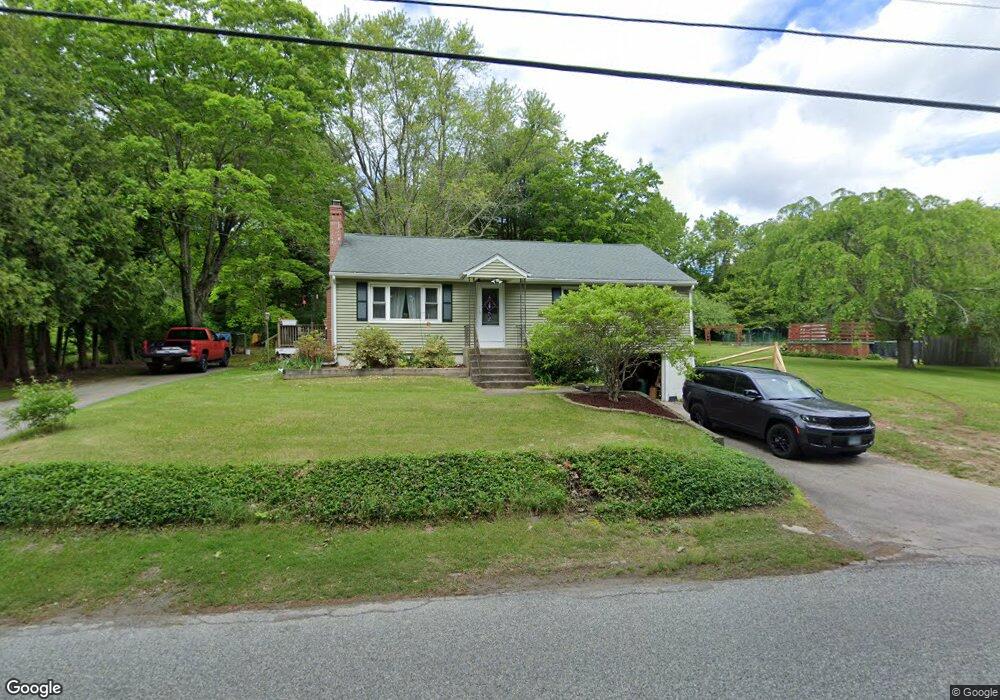
67 Ross Rd Preston, CT 06365
Estimated Value: $317,000 - $424,000
3
Beds
1
Bath
1,232
Sq Ft
$290/Sq Ft
Est. Value
About This Home
This home is located at 67 Ross Rd, Preston, CT 06365 and is currently estimated at $357,550, approximately $290 per square foot. 67 Ross Rd is a home located in New London County.
Ownership History
Date
Name
Owned For
Owner Type
Purchase Details
Closed on
May 9, 1997
Sold by
Reil Elizabeth A
Bought by
Ward Terry W and Ward Deborah
Current Estimated Value
Home Financials for this Owner
Home Financials are based on the most recent Mortgage that was taken out on this home.
Original Mortgage
$111,078
Interest Rate
7.88%
Mortgage Type
Unknown
Create a Home Valuation Report for This Property
The Home Valuation Report is an in-depth analysis detailing your home's value as well as a comparison with similar homes in the area
Home Values in the Area
Average Home Value in this Area
Purchase History
| Date | Buyer | Sale Price | Title Company |
|---|---|---|---|
| Ward Terry W | $108,900 | -- |
Source: Public Records
Mortgage History
| Date | Status | Borrower | Loan Amount |
|---|---|---|---|
| Closed | Ward Terry W | $15,000 | |
| Open | Ward Terry W | $105,610 | |
| Closed | Ward Terry W | $111,078 |
Source: Public Records
Tax History
| Year | Tax Paid | Tax Assessment Tax Assessment Total Assessment is a certain percentage of the fair market value that is determined by local assessors to be the total taxable value of land and additions on the property. | Land | Improvement |
|---|---|---|---|---|
| 2025 | $3,888 | $154,840 | $46,690 | $108,150 |
| 2024 | $3,619 | $154,840 | $46,690 | $108,150 |
| 2023 | $3,554 | $154,840 | $46,690 | $108,150 |
| 2022 | $2,933 | $105,200 | $40,600 | $64,600 |
| 2021 | $2,834 | $105,200 | $40,600 | $64,600 |
| 2020 | $2,830 | $105,200 | $40,600 | $64,600 |
| 2019 | $2,780 | $105,200 | $40,600 | $64,600 |
| 2018 | $2,738 | $105,200 | $40,600 | $64,600 |
| 2017 | $2,633 | $109,700 | $40,600 | $69,100 |
| 2016 | $2,605 | $109,700 | $40,600 | $69,100 |
| 2015 | $2,523 | $109,700 | $40,600 | $69,100 |
| 2014 | $2,538 | $109,700 | $40,600 | $69,100 |
Source: Public Records
Map
Nearby Homes
- 31 Branch Hill Rd
- 381 Route 2
- 256 Route 2
- 991 Shewville Rd
- 121 Watson Rd
- 15 Paster Rd
- 6 Lake of Isles Rd
- 4 Lake of Isles Rd
- 14 Abbey Rd
- 16 Abbey Rd
- 36 Route 2a
- 104 Route 2a
- 25 Coachman Pike
- 36 NW Corner Rd
- 57 NW Corner Rd
- 0 Lake of Isles Rd Unit 170371521
- 11 Willow Ln
- 19 Cedarcrest Dr
- 55A Anna Farm Rd W
- 32 Krug Rd
Your Personal Tour Guide
Ask me questions while you tour the home.