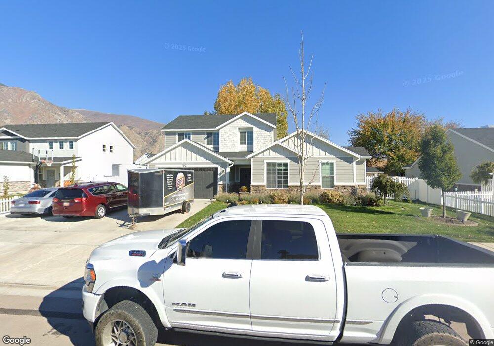
67 S 700 W Unit 29 Springville, UT 84663
Westfields North NeighborhoodEstimated Value: $622,000 - $663,647
5
Beds
4
Baths
2,895
Sq Ft
$222/Sq Ft
Est. Value
About This Home
This home is located at 67 S 700 W Unit 29, Springville, UT 84663 and is currently estimated at $643,662, approximately $222 per square foot. 67 S 700 W Unit 29 is a home located in Utah County with nearby schools including Westside Elementary School, Springville Junior High School, and Springville High School.
Ownership History
Date
Name
Owned For
Owner Type
Purchase Details
Closed on
Aug 3, 2018
Sold by
Century Communties Of Utah Llc
Bought by
Lxtahuac Jorge Alberto
Current Estimated Value
Home Financials for this Owner
Home Financials are based on the most recent Mortgage that was taken out on this home.
Original Mortgage
$386,955
Outstanding Balance
$336,055
Interest Rate
4.5%
Mortgage Type
New Conventional
Estimated Equity
$307,607
Purchase Details
Closed on
Jun 20, 2017
Sold by
Oakleaf Llc
Bought by
Century Communities Of Utah Llc
Create a Home Valuation Report for This Property
The Home Valuation Report is an in-depth analysis detailing your home's value as well as a comparison with similar homes in the area
Home Values in the Area
Average Home Value in this Area
Purchase History
| Date | Buyer | Sale Price | Title Company |
|---|---|---|---|
| Lxtahuac Jorge Alberto | -- | Mountain View Title | |
| Century Communities Of Utah Llc | -- | Pro Title Title |
Source: Public Records
Mortgage History
| Date | Status | Borrower | Loan Amount |
|---|---|---|---|
| Open | Lxtahuac Jorge Alberto | $386,955 |
Source: Public Records
Tax History Compared to Growth
Tax History
| Year | Tax Paid | Tax Assessment Tax Assessment Total Assessment is a certain percentage of the fair market value that is determined by local assessors to be the total taxable value of land and additions on the property. | Land | Improvement |
|---|---|---|---|---|
| 2025 | $3,209 | $633,000 | $202,200 | $430,800 |
| 2024 | $3,209 | $318,505 | $0 | $0 |
| 2023 | $3,164 | $316,965 | $0 | $0 |
| 2022 | $3,143 | $309,155 | $0 | $0 |
| 2021 | $2,695 | $412,200 | $131,000 | $281,200 |
| 2020 | $2,550 | $378,200 | $97,000 | $281,200 |
| 2019 | $2,329 | $351,200 | $93,300 | $257,900 |
| 2018 | $1,107 | $87,500 | $87,500 | $0 |
Source: Public Records
Map
Nearby Homes
- 224 S 550 W Unit B-2
- 532 W 300 S Unit B
- 12 N 450 W
- 231 N 750 W
- 293 S 450 W Unit B
- 156 N 600 W
- 42 S 1100 W
- 311 W Center St
- 550 S 400 W
- 1175 W 100 S
- 1166 W 200 S
- 758 W 375 N
- 435 N 650 W
- 946 W 375 N
- 1768 W 300 S Unit D
- 504 N 850 W
- 745 S Harrison Dr W Unit 37
- 743 S Harrison Dr W Unit 36
- 729 S Harrison Dr
- 717 S Harrison Dr Unit 29
- 55 S 700 W Unit 30
- 98 S 550 W
- 76 S 550 W
- 49 S 700 W Unit 31
- 99 S 700 W Unit 27
- 58 S 700 W
- 58 S 700 W Unit 17
- 72 S 700 W Unit 18
- 84 S 700 W Unit 19
- 561 W 50 S
- 128 S 550 W
- 557 W Saddleback Cir
- 557 W 50 S
- 557 Saddle Back Cir
- 697 W 100 S
- 33 S 700 W Unit 32
- 712 W 50 S
- 713 W 100 S
- 733 W 50 S Unit 16
- 744 W 100 S Unit 20