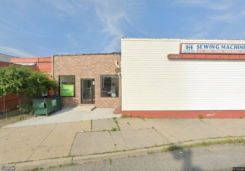
67 S Main St Freeport, NY 11520
Estimated Value: $1,002,000
Studio
--
Bath
1,430
Sq Ft
$701/Sq Ft
Est. Value
About This Home
This home is located at 67 S Main St, Freeport, NY 11520 and is currently estimated at $1,002,000, approximately $700 per square foot. 67 S Main St is a home located in Nassau County with nearby schools including Columbus Avenue School, Caroline G. Atkinson Intermediate School, and John W Dodd Middle School.
Ownership History
Date
Name
Owned For
Owner Type
Purchase Details
Closed on
Nov 15, 2021
Sold by
L & R General Store Inc
Bought by
67 South Jara Llc
Current Estimated Value
Purchase Details
Closed on
Oct 22, 2009
Sold by
L and R
Bought by
L And R General Store Inc
Home Financials for this Owner
Home Financials are based on the most recent Mortgage that was taken out on this home.
Original Mortgage
$115,000
Interest Rate
7%
Mortgage Type
Commercial
Purchase Details
Closed on
Sep 9, 2000
Sold by
Lipman Burton L
Bought by
Lipman Associates Lp
Create a Home Valuation Report for This Property
The Home Valuation Report is an in-depth analysis detailing your home's value as well as a comparison with similar homes in the area
Home Values in the Area
Average Home Value in this Area
Purchase History
| Date | Buyer | Sale Price | Title Company |
|---|---|---|---|
| 67 South Jara Llc | $550,000 | None Available | |
| L And R General Store Inc | $160,000 | -- | |
| Lipman Associates Lp | $70,680 | Deborah S Barcham |
Source: Public Records
Mortgage History
| Date | Status | Borrower | Loan Amount |
|---|---|---|---|
| Previous Owner | L And R General Store Inc | $115,000 |
Source: Public Records
Tax History
| Year | Tax Paid | Tax Assessment Tax Assessment Total Assessment is a certain percentage of the fair market value that is determined by local assessors to be the total taxable value of land and additions on the property. | Land | Improvement |
|---|---|---|---|---|
| 2025 | $20,241 | $5,906 | $888 | $5,018 |
| 2024 | $2,185 | $5,906 | $888 | $5,018 |
| 2023 | $16,691 | $5,906 | $888 | $5,018 |
| 2022 | $16,691 | $5,906 | $888 | $5,018 |
| 2021 | $22,756 | $4,060 | $645 | $3,415 |
| 2020 | $21,967 | $2,808 | $799 | $2,009 |
| 2019 | $15,793 | $2,808 | $799 | $2,009 |
| 2018 | $15,943 | $2,808 | $0 | $0 |
| 2017 | $11,112 | $2,808 | $799 | $2,009 |
| 2016 | $16,112 | $2,808 | $799 | $2,009 |
| 2015 | $1,952 | $2,808 | $799 | $2,009 |
| 2014 | $1,952 | $2,808 | $799 | $2,009 |
| 2013 | $1,846 | $2,808 | $799 | $2,009 |
Source: Public Records
Map
Nearby Homes
- 70 S Main St Unit 307-PH
- 26 Rosedale Ave
- 124 Smith St Unit 3B
- 124 Smith St Unit 3F
- 100 S Ocean Ave Unit 3U
- 100 S Ocean Ave Unit 3m
- 100 S Ocean Ave Unit 2B
- 55 S Bergen Place Unit 3F
- 70 N Grove St Unit 1N
- 73 Raynor St
- 149 Smith St Unit e-22
- 58 Rutland Rd
- 194 Smith St Unit 3P
- 194 Smith St Unit 3 E
- 110 Brooklyn Ave Unit 3Z
- 96 N Columbus Ave
- 98 N Columbus Ave
- 61 East Ave
- 99 Randall Ave Unit 1Q
- 24 Whaley St
- 71 S Main St
- 71 S Main St Unit 2
- 71 S Main St Unit 75
- 73 S Main St
- 75 S Main St
- 77 S Main St
- 79 S Main St
- 59 S Main St
- 70 S Main St Unit 2B
- 70 S Main St Unit 3H
- 70 S Main St Unit 302
- 70 S Main St Unit 2 G
- 70 S Main St Unit 304
- 70 S Main St Unit 305
- 70 S Main St Unit 3D
- 70 S Main St Unit 2H
- 70 S Main St Unit 3F
- 70 S Main St
- 70 S Main St Unit 2E
- 70 S Main St Unit 3B
Your Personal Tour Guide
Ask me questions while you tour the home.