67 S Wynstone Dr North Barrington, IL 60010
Wynstone NeighborhoodEstimated Value: $1,183,361 - $1,623,000
--
Bed
5
Baths
4,816
Sq Ft
$283/Sq Ft
Est. Value
About This Home
This home is located at 67 S Wynstone Dr, North Barrington, IL 60010 and is currently estimated at $1,364,340, approximately $283 per square foot. 67 S Wynstone Dr is a home located in Lake County with nearby schools including North Barrington Elementary School, Barrington Middle School Station Campus, and Barrington High School.
Ownership History
Date
Name
Owned For
Owner Type
Purchase Details
Closed on
Jun 12, 2002
Sold by
Schmidt William A and Schmidt Carolyn B
Bought by
Heider Steve and Heider Michelle
Current Estimated Value
Home Financials for this Owner
Home Financials are based on the most recent Mortgage that was taken out on this home.
Original Mortgage
$825,000
Interest Rate
6.78%
Create a Home Valuation Report for This Property
The Home Valuation Report is an in-depth analysis detailing your home's value as well as a comparison with similar homes in the area
Home Values in the Area
Average Home Value in this Area
Purchase History
| Date | Buyer | Sale Price | Title Company |
|---|---|---|---|
| Heider Steve | $1,152,000 | Ticor Title Insurance Compan |
Source: Public Records
Mortgage History
| Date | Status | Borrower | Loan Amount |
|---|---|---|---|
| Previous Owner | Heider Steve | $825,000 | |
| Closed | Heider Steve | $25,000 |
Source: Public Records
Tax History Compared to Growth
Tax History
| Year | Tax Paid | Tax Assessment Tax Assessment Total Assessment is a certain percentage of the fair market value that is determined by local assessors to be the total taxable value of land and additions on the property. | Land | Improvement |
|---|---|---|---|---|
| 2024 | $21,025 | $328,916 | $56,011 | $272,905 |
| 2023 | $17,372 | $282,348 | $48,081 | $234,267 |
| 2022 | $17,372 | $227,380 | $54,393 | $172,987 |
| 2021 | $17,160 | $223,513 | $53,468 | $170,045 |
| 2020 | $16,785 | $222,822 | $53,303 | $169,519 |
| 2019 | $19,112 | $258,333 | $51,897 | $206,436 |
| 2018 | $10,232 | $256,641 | $63,065 | $193,576 |
| 2017 | $19,066 | $266,640 | $61,798 | $204,842 |
| 2016 | $20,739 | $288,328 | $59,467 | $228,861 |
| 2015 | $19,015 | $270,426 | $55,775 | $214,651 |
| 2014 | $16,948 | $232,589 | $64,183 | $168,406 |
| 2012 | $18,004 | $236,587 | $65,286 | $171,301 |
Source: Public Records
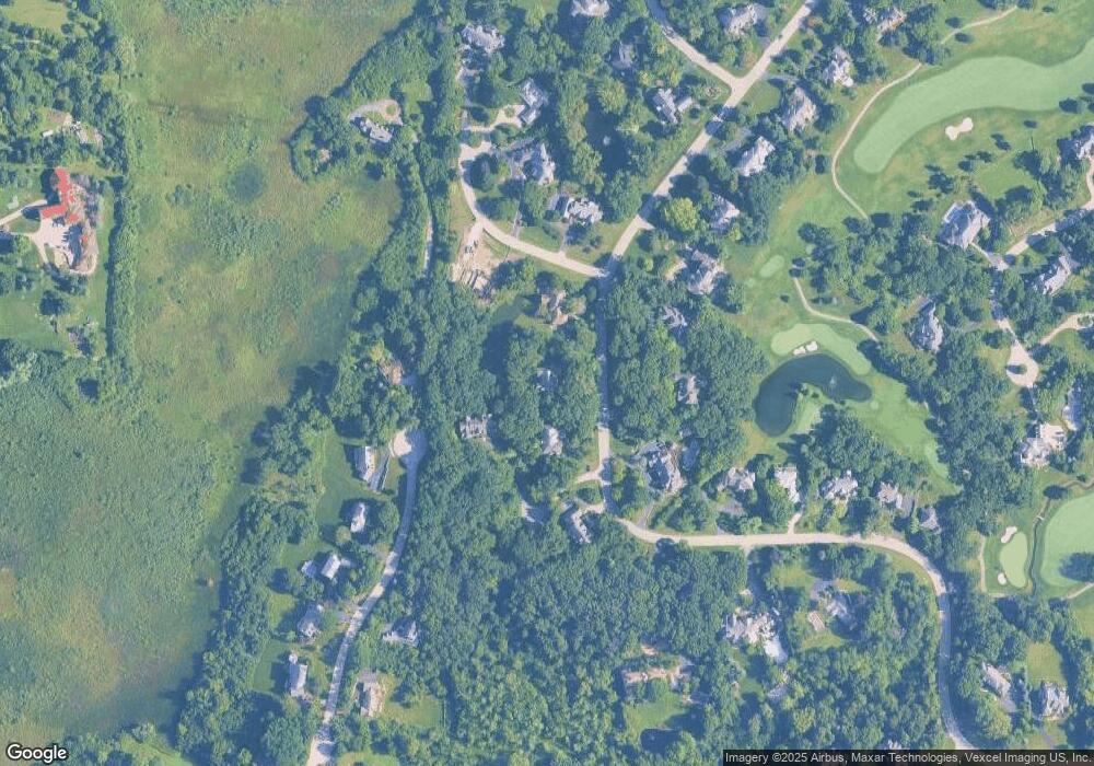
Map
Nearby Homes
- 24334 N Grandview Dr
- 47 S Wynstone Dr
- 83 S Wynstone Dr
- 96 S Wynstone Dr
- 729 Old Barn Rd Unit C
- 68 Thornhill Ln
- 535 Woodview Rd
- 220 Thornhill Ct Unit D
- 115 Red Wing Ln
- 660 Old Barn Rd Unit F-24
- 1 Kensington Dr
- 294 Mallard Point Unit A
- 15 S Wynstone Dr
- 209 Shoreline Rd Unit B
- 668 Shoreline Rd Unit 695
- 748 Shoreline Rd
- 455 Eton Dr
- 35 Riderwood Rd
- 240 Oxford Rd
- 600 Eton Dr
- 69 S Wynstone Dr
- 65 S Wynstone Dr
- 63 S Wynstone Dr
- 70 S Wynstone Dr
- 72 S Wynstone Dr
- LOT 73 Bexley Ct
- 24472 N Grandview Dr
- 68 S Wynstone Dr
- 57 S Wynstone Dr
- 74 S Wynstone Dr
- 72 Bexley Ct
- 24450 N Grandview Dr
- 76 S Wynstone Dr
- 24424 N Grandview Dr
- 61 S Wynstone Dr
- 64 S Wynstone Dr
- 24465 N Grandview Dr
- 73 S Wynstone Dr
- 24394 N Grandview Dr
- 59 S Wynstone Dr