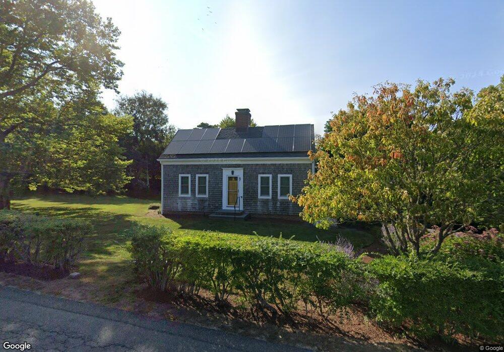
67 Scatteree Rd North Chatham, MA 02650
North Chatham NeighborhoodEstimated Value: $1,968,000 - $2,470,000
3
Beds
3
Baths
2,540
Sq Ft
$876/Sq Ft
Est. Value
About This Home
This home is located at 67 Scatteree Rd, North Chatham, MA 02650 and is currently estimated at $2,225,554, approximately $876 per square foot. 67 Scatteree Rd is a home located in Barnstable County with nearby schools including Chatham Elementary School, Harwich Elementary School, and Monomoy Regional Middle School.
Ownership History
Date
Name
Owned For
Owner Type
Purchase Details
Closed on
Jan 6, 2016
Sold by
Ackerman Little House
Bought by
Ackerman Little House
Current Estimated Value
Purchase Details
Closed on
Aug 31, 2006
Sold by
Ackerman Ft
Bought by
Ackerman Little House
Purchase Details
Closed on
Jun 11, 2004
Sold by
Ackerman Edgar D and Ackerman Sarah J
Bought by
Ackerman Fmly Prtnrs
Purchase Details
Closed on
Sep 7, 1988
Sold by
Johnson Nathaniel M
Bought by
Ackerman Edgar D
Home Financials for this Owner
Home Financials are based on the most recent Mortgage that was taken out on this home.
Original Mortgage
$175,000
Interest Rate
10.43%
Mortgage Type
Purchase Money Mortgage
Create a Home Valuation Report for This Property
The Home Valuation Report is an in-depth analysis detailing your home's value as well as a comparison with similar homes in the area
Home Values in the Area
Average Home Value in this Area
Purchase History
| Date | Buyer | Sale Price | Title Company |
|---|---|---|---|
| Ackerman Little House | -- | -- | |
| Ackerman Little House | -- | -- | |
| Ackerman Fmly Prtnrs | -- | -- | |
| Ackerman Edgar D | $168,200 | -- |
Source: Public Records
Mortgage History
| Date | Status | Borrower | Loan Amount |
|---|---|---|---|
| Previous Owner | Ackerman Edgar D | $296,000 | |
| Previous Owner | Ackerman Edgar D | $175,000 |
Source: Public Records
Tax History Compared to Growth
Tax History
| Year | Tax Paid | Tax Assessment Tax Assessment Total Assessment is a certain percentage of the fair market value that is determined by local assessors to be the total taxable value of land and additions on the property. | Land | Improvement |
|---|---|---|---|---|
| 2025 | $7,052 | $2,032,200 | $1,375,200 | $657,000 |
| 2024 | $6,846 | $1,917,700 | $1,297,400 | $620,300 |
| 2023 | $6,339 | $1,633,700 | $1,081,100 | $552,600 |
| 2022 | $6,785 | $1,468,700 | $1,081,100 | $387,600 |
| 2021 | $6,650 | $1,335,400 | $982,600 | $352,800 |
| 2020 | $6,496 | $1,347,800 | $995,700 | $352,100 |
| 2019 | $6,483 | $1,336,600 | $979,900 | $356,700 |
| 2018 | $6,348 | $1,303,400 | $979,900 | $323,500 |
| 2017 | $6,365 | $1,265,500 | $951,200 | $314,300 |
| 2016 | $6,834 | $1,361,300 | $1,049,200 | $312,100 |
| 2015 | $6,599 | $1,322,500 | $1,019,400 | $303,100 |
| 2014 | $6,715 | $1,321,900 | $1,019,400 | $302,500 |
Source: Public Records
Map
Nearby Homes
- 28 Cranberry Ln
- 28 Cranberry Ln
- 785 Old Harbor Rd
- 4 Ministers Ln
- 238 Cranberry Ln
- 44 Emery Ln
- 24 Hillcrest Rd
- 93 Orleans Rd
- 111 Enterprise Dr
- 109 Misty Meadow Ln Unit 2
- 109 Misty Meadow Ln Unit 4
- 552 Orleans Rd
- 552 Orleans Rd
- 92 Barcliff Ave
- 230 Barcliff Ave
- 597 Orleans Rd
- 39 Meadow Brook Rd
- 27 Martha Kendrick Dr
- 231 Crowell Rd
- 66 Scatteree Rd
- 43 Scatteree Rd
- 62 Anne Blairs Rd
- 44 Scatteree Rd
- 27 Scatteree Rd
- 102 Scatteree Rd
- 34 Scatteree Rd
- 17 Scatteree Rd
- 93 Scatteree Rd
- 151 Old Wharf Rd
- 110 Scatteree Rd
- 46 Scatteree Rd
- 48 Scatteree Rd
- 93 Old Wharf Rd
- 139 Old Wharf Rd
- 26 Cranberry Ln
- 26 Cranberry Ln
- 0 Scatteree Rd
- 11 Scatteree Rd
- 111 Scatteree Rd