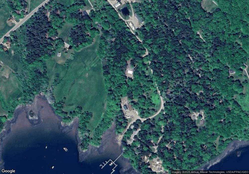
67 Seal Ledge Ln Penobscot, ME 04476
Estimated Value: $315,000 - $905,000
--
Bed
--
Bath
--
Sq Ft
--
Built
About This Home
This home is located at 67 Seal Ledge Ln, Penobscot, ME 04476 and is currently estimated at $560,492. 67 Seal Ledge Ln is a home with nearby schools including Penobscot Elementary School.
Create a Home Valuation Report for This Property
The Home Valuation Report is an in-depth analysis detailing your home's value as well as a comparison with similar homes in the area
Home Values in the Area
Average Home Value in this Area
Tax History Compared to Growth
Map
Nearby Homes
- 00 Dunbar
- 113 Wardwell Point Rd
- 1026 Castine Rd
- 581 the Shore Rd
- 684 the Shore Rd
- 118 Wescott Battery
- 1114 Castine Rd
- 269 Wardwell Point Rd
- Map4 Lot26 Graytown Rd
- 352 Bayview Rd
- 37 Water St
- 10 Green St
- 99 Southern Bay Rd
- 15 Maine 166
- M15 L23 Varnum Rd
- 56 Court St
- 142 Southern Bay Rd
- MAP13LOT21 Maine 199
- 64 New Homestead Rd
- 111 Franks Flat Rd